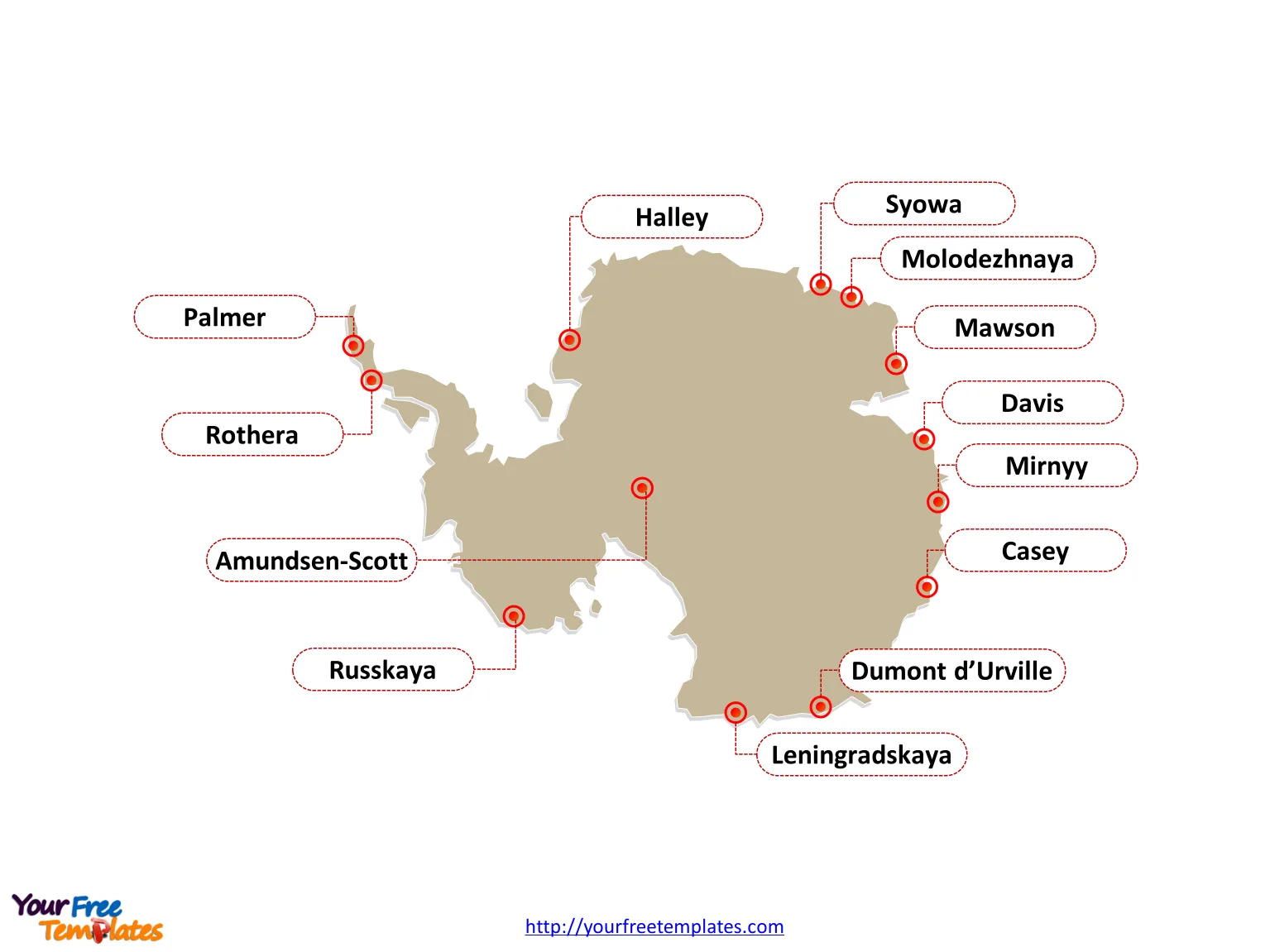
Antarctica map with two slides, one with the outline boundary and the other with major stations.
The Map of Antarctica Template includes two slides.
Slide 1, Antarctica map of outline
Antarctica is Earth’s southernmost continent, together with Africa, Asia, Australia/Oceania, Europe, North America, and South America to constitute the seven continents in the world. It is cleared that the country of New Zealand and Chile are the close ones to this continent. Although there is no country in this continent, but those countries like New Zealand, Australia, France, Norway, the United Kingdom, Chile, and Argentina have claimed different parts of this continent.
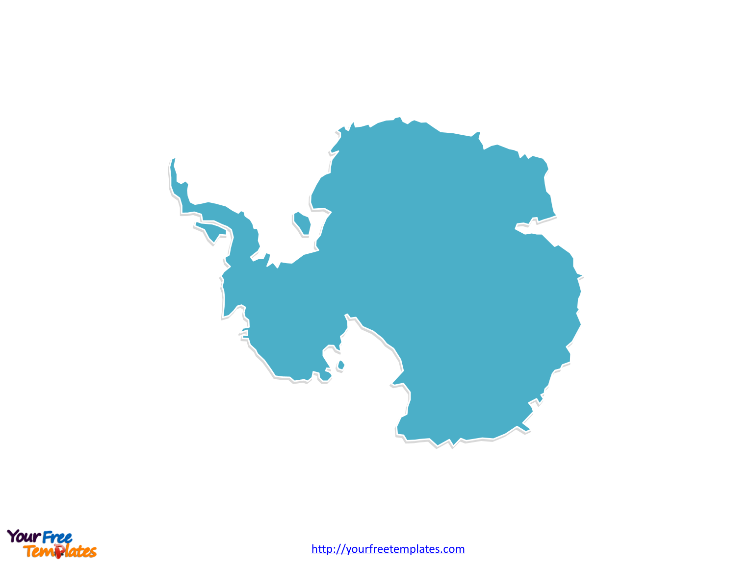
Slide 2, Antarctica map labeled with major stations.
There are 31 countries have established permanent research stations in Antarctica and signed the Antarctica Treaty. They are Argentina, Australia, Belarus, Belgium, Brazil, Bulgaria, Chile, China, Czech Republic, Ecuador, Finland, France, Germany, India, Italy, Japan, New Zealand, Norway, Pakistan, Peru, Poland, Romania, Russia, South Africa, South Korea, Spain, Sweden, Ukraine, United Kingdom, United States, and Uruguay.
You can check simple Wiki for more information.
Size: 68K
Type: PPTX
Aspect Ratio: Standard 4:3
Click the blue button to download it.
Download the 4:3 Template
Aspect Ratio: Widescreen 16:9
Click the green button to download it.
Download the 16:9 Template
