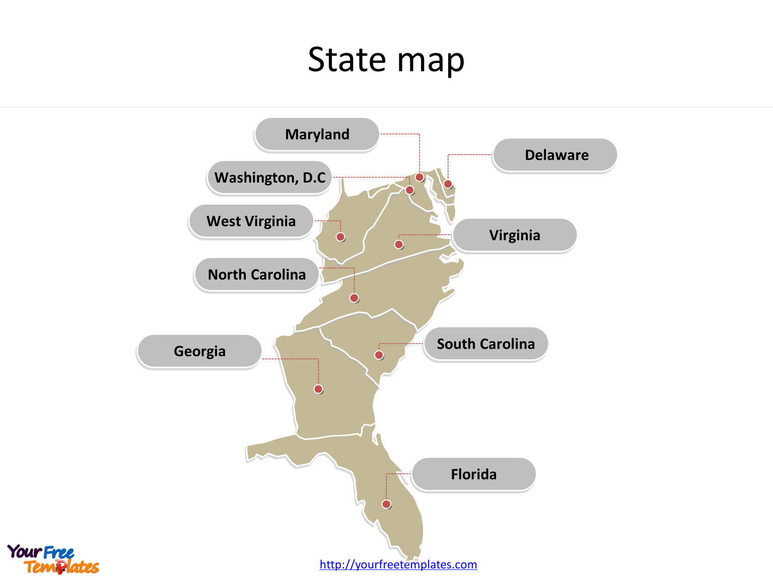
US maps State map for South Atlantic States with state names labeled on the US map PowerPoint templates, Delaware, Florida, Georgia, Maryland, North Carolina, South Carolina, Virginia, West Virginia, and Washington, D.C..
US_maps_State_Map_for_South_Atlantic_States