Calgary is a city in the Alberta province of Canada. Our Calgary Ward Map has two slides, labeling the number of wards and names of current councilors respectively.
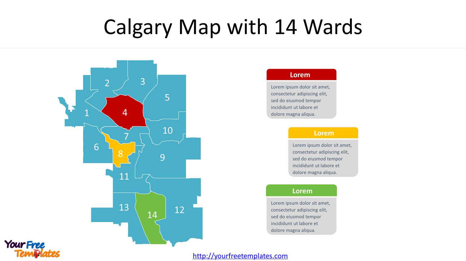
Slide 1, Calgary Map with 14 Wards
The Calgary ward boundaries will change every four years, to make the population of each ward to be roughly the same with each other. This slide is showing current ward boundaries Calgary with numbers of wards on it. Each ward is an individual shape; you can fill with different color to highlight it. The latest boundary of Calgary will be released in Oct 2021 by The City of Calgary.

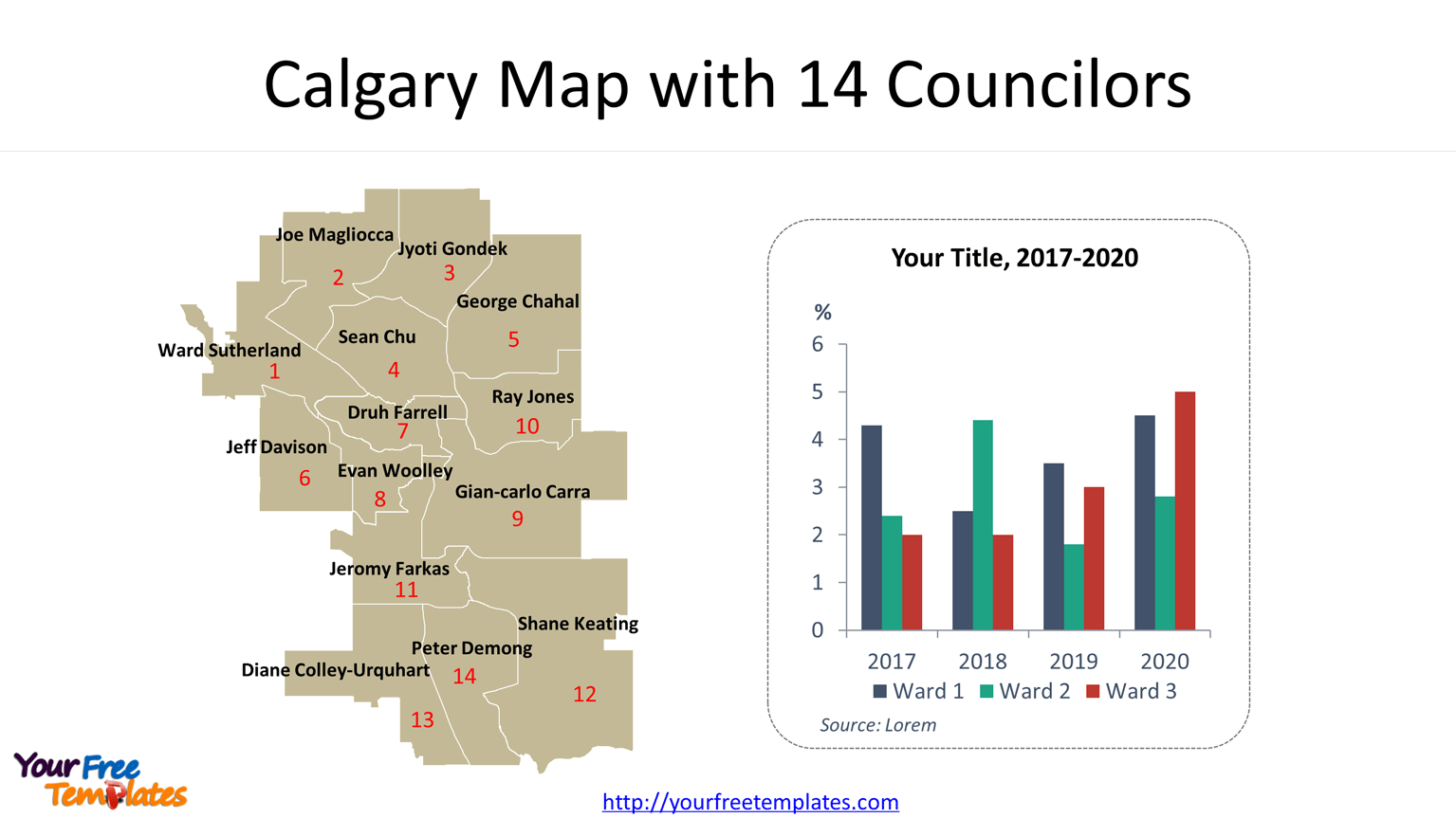
Slide 2, City of Calgary ward map with 14 Councilors
For the 14 wards, there is a Councilor representing for the citizens of the ward, together with the mayor to form the city council to make council decisions. For this slide, the Councilor names and number of wards have been placed on each ward, facilitating your customization work greatly. The Councilor names are also from the city council.

You can check other Canadian provinces of British Columbia, Manitoba, New Brunswick, Newfoundland and Labrador, Nova Scotia, Ontario, Prince Edward Island, Quebec, and Saskatchewan. To have the outlines of provinces and the most populated subdivisions.
Size:175K
Type: PPTX
[sociallocker]Aspect Ratio: Standard 4:3
Click the blue button to download it.
Download the 4:3 Template
Aspect Ratio: Widescreen 16:9
Click the green button to download it.
Download the 16:9 Template[/sociallocker]


