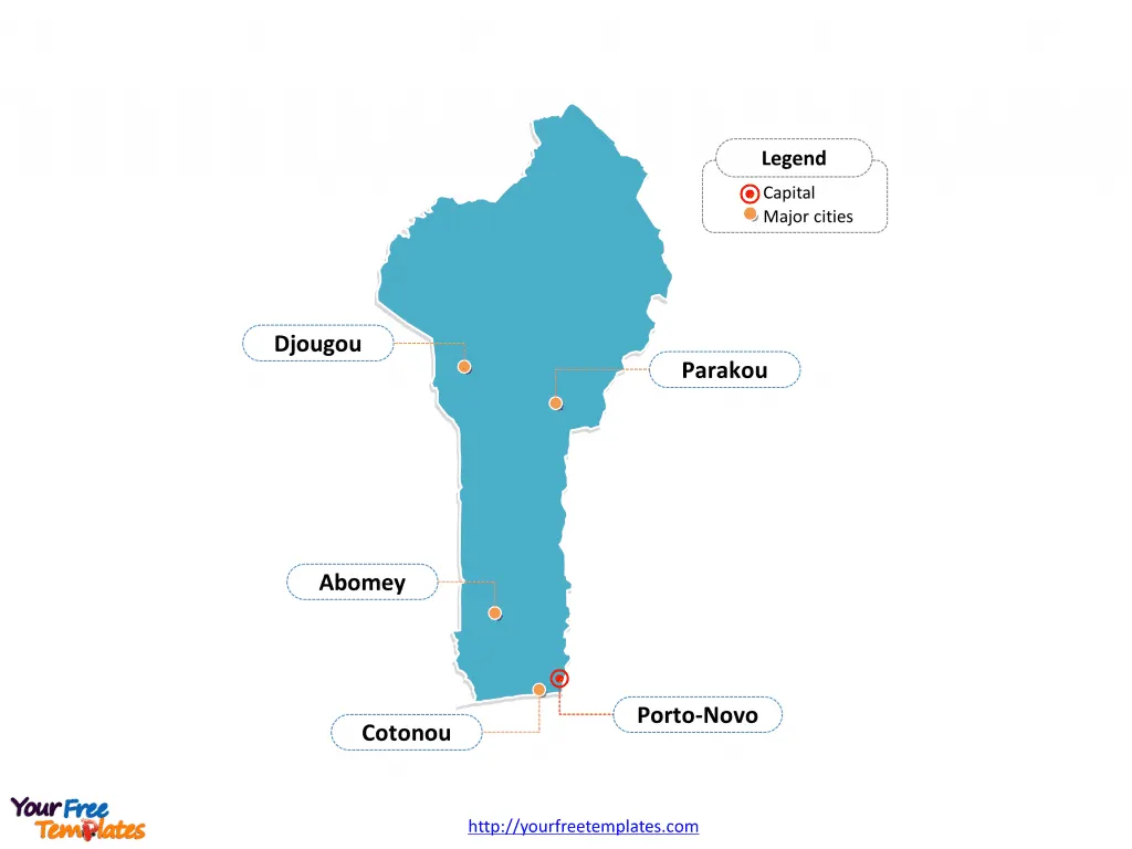
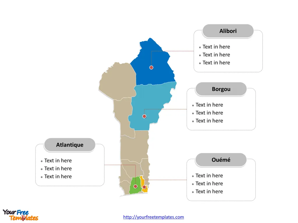
The Benin Map Template in PowerPoint format includes two slides, that is, the Benin outline map and Benin political map. Firstly, our Benin outline map template has capital and major cities on it, which are Porto-Novo, Cotonou, Abomey, Djougou, and Parakou. Secondly, there are twelve departments in our Benin political map, labeling major divisions that are Atlantique, Borgou, Ouémé, and Alibori.
Slide 1, Benin map labeled with capital and major cities.
Our Benin map is for the country located in West Africa, bordering Togo in the west, Nigeria in the east, and Burkina Faso and Niger in the north. Since Porto-Novoa and Cotonou is the capital and largest city of Benin respectively, in addition to other major cities including Abomey, Djougou, and Parakou. So our Benin map slide has the capital and major cities on the outline. Consequently users can remove cities or include new ones to create their unique Benin maps and suit their specific applications.
Slide 2,Benin map labeled with major departments.
The Benin map is the country political division of 12 departments. They are Alibori, Atakora, Atlantique, Borgou, Collines, Kouffo, Donga, Littoral, Mono, Ouémé, Plateau, and Zou. Since every individual political subdivision is an editable shape. As a result, you can change the texts, colors, sizes, highlight some map shapes, and add your content. Meanwhile you can also refer to the fully labeled map in Wikipedia Benin. Therefore creative designers or business consultants from professional firms will find our Benin map templates attribute to the success of their works. In a word our maps can assist them attaining business goals.
Size:93K
Type: PPTX
Aspect Ratio: Standard 4:3
Click the blue button to download it.
Download the 4:3 Template
Aspect Ratio: Widescreen 16:9
Click the green button to download it.
Download the 16:9 Template
