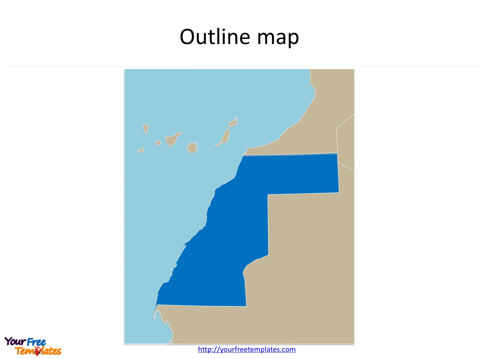
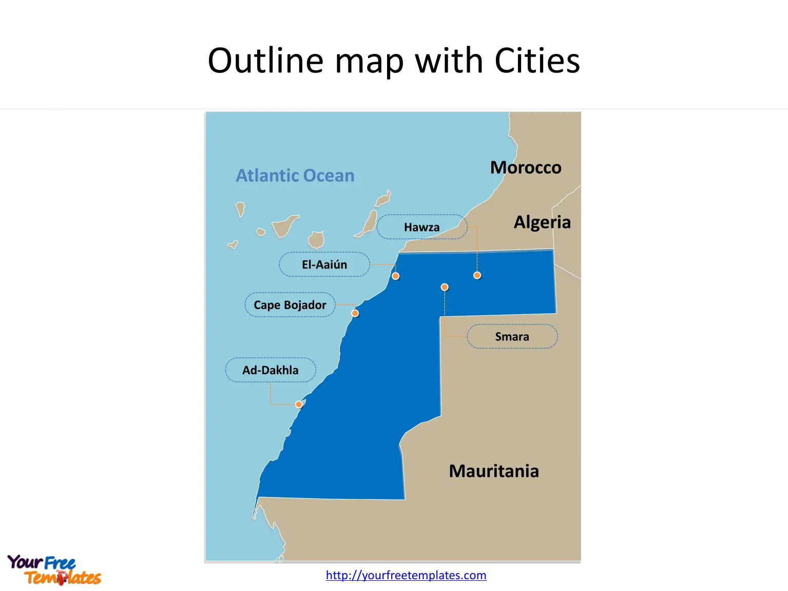
The Map of Western Sahara Template in PowerPoint format includes two slides, that is, the blank Western Sahara map and Western Sahara map with cities. Firstly, our Western Sahara outline Map template is the blank one. Secondly, there are 5 cities in our Western Sahara Map templates. They are El-Aaiún, Ad-Dakhla, Smara, Cape Bojador, and Hawza.
The Western Sahara Map templates include two slides.
Slide 1, Blank Western Sahara map
Our Map of Western Sahara is for is a disputed territory in the Maghreb region of North Africa, partially controlled by the self-proclaimed Sahrawi Arab Democratic Republic and partially Moroccan-occupied. Firstly Morocco is surrounding the territory from the north. Secondly Algeria is surrounding the territory from the northeast. Thirdly Mauritania is surrounding the territory from the east and south. Finally Atlantic Ocean is surrounding Western Sahara from the west.

Slide 2, Western Sahara Map labeling with major cities
It is one of the most sparsely populated territories in the world, mainly consisting of desert flatlands. The population is about at just over 500,000, of which nearly 40% live in Laayoune, the largest city in Western Sahara, other major cities are El-Aaiún, Ad-Dakhla, Smara, Cape Bojador, and Hawza. What is more, every individual political subdivision is an editable shape. The labels and shapes are grouped by layers. In a word, you can change the texts, colors, sizes, highlight some map shapes, and add your charts. At the same time you can also refer to the fully labeled Map of Western Sahara in Wikipedia. The most important of all, analysts from marketing research companies, consultants from professional firms think highly of our website yourfreetemplates.com. Because our maps can help them reduce their efforts and create attractive maps.

Size:360K
Type: PPTX
Aspect Ratio: Standard 4:3
Click the blue button to download it.
Download the 4:3 Template
Aspect Ratio: Widescreen 16:9
Click the green button to download it.
Download the 16:9 Template


