Free Iceland Map Template
The Iceland Map Template in PowerPoint format includes two slides, that is, the Iceland outline map and Iceland political map. Firstly, our Iceland outline...
Map of Ireland and Northern Ireland
The Map of Ireland and Northern Ireland Template includes three slides. Map of Ireland and Northern Ireland with 34 counties, labeling major counties, Dublin,...
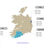
Republic of Ireland Map with 31 Local Authorities
The Ireland Map Template includes two slides. Republic of Ireland map with thirty-one local authorities, labeling major counties, Dublin, Cork, Fingal, and South Dublin....
Estonia Map with 15 Counties
The Estonia Map Template includes two slides. Estonia map with 15 counties, labeling major counties, Harju County, Tartu County, Ida-Viru County, and Pärnu County....
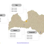
Latvia Map with 110 Municipalities and 9 Cities
The Latvia Map Template includes two slides. Latvia map with 110 one-level municipalities and 9 republican cities, labeling major cities, Rīga, Daugavpils, Liepāja, and...
Lithuania Map with 10 Counties
The Lithuania Map Template includes two slides. Lithuania map with 10 counties, labeling major counties, Vilnius County, Kaunas County, Klaipėda County, and Šiauliai County....
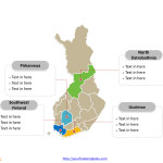
Finland Map with 19 Regions
The Finland Map Template includes two slides. Finland map with 19 regions, labeling with major regions, North Ostrobothnia, Pirkanmaa, Southwest Finland, and Uusimaa. Finland...
Norway Map with 19 Counties
The Norway Map Template includes two slides. Norway map with 19 counties, labeling with major counties, Insigne, Akershus, Hordaland, and Rogaland. Norway map labeling...
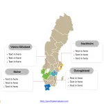
Sweden Map with 21 Counties
The Sweden Map Template includes two slides. Sweden map with 21 counties, labeling with major counties, Stockholm, Västra Götaland, Skåne, and Östergötland. The Sweden...
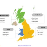
Free United Kingdom Map with 4 Countries
The United Kingdom map Template in PowerPoint format includes two slides. Firstly the UK map with outline is labeling with capital and major cities....


