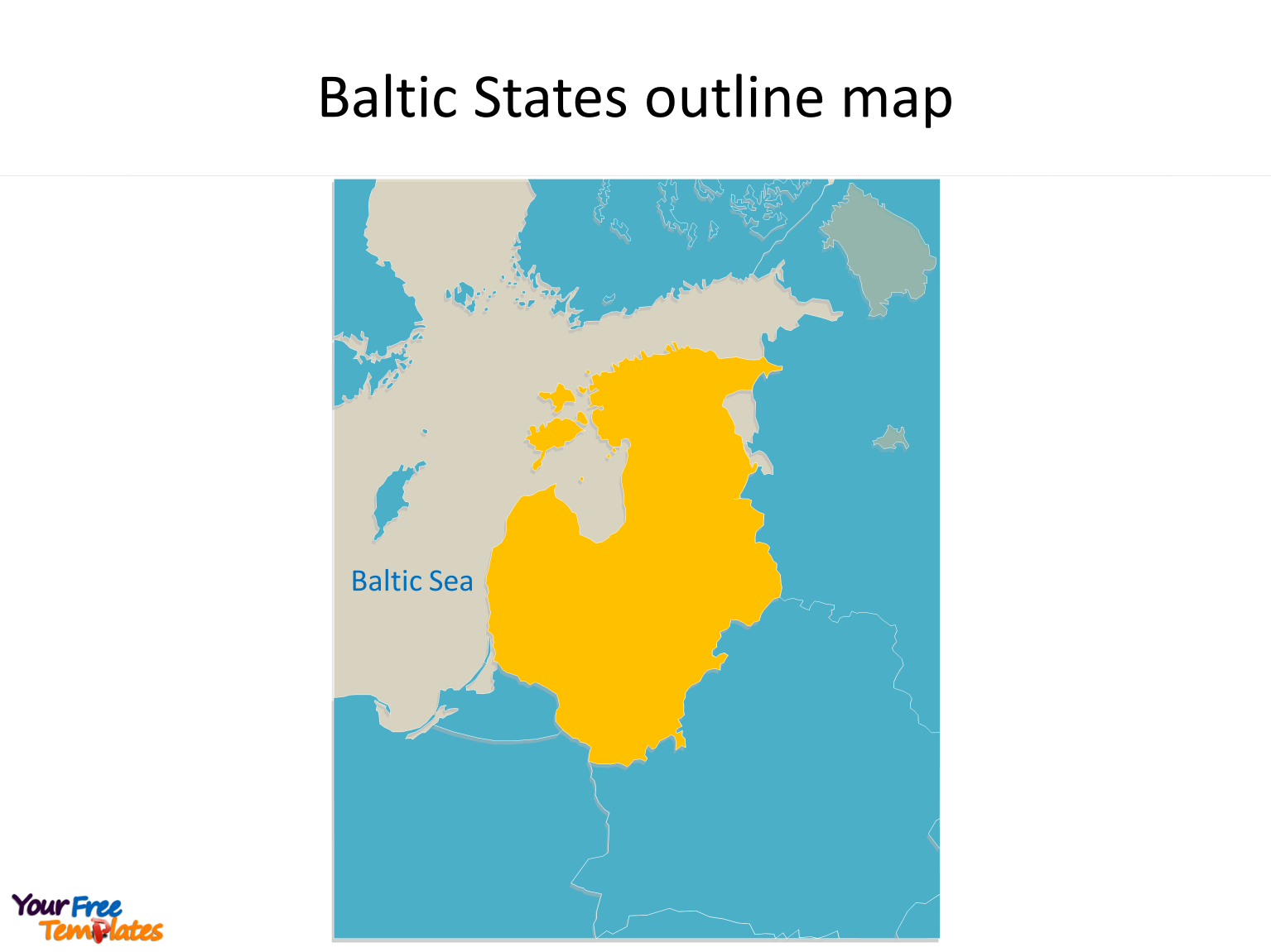
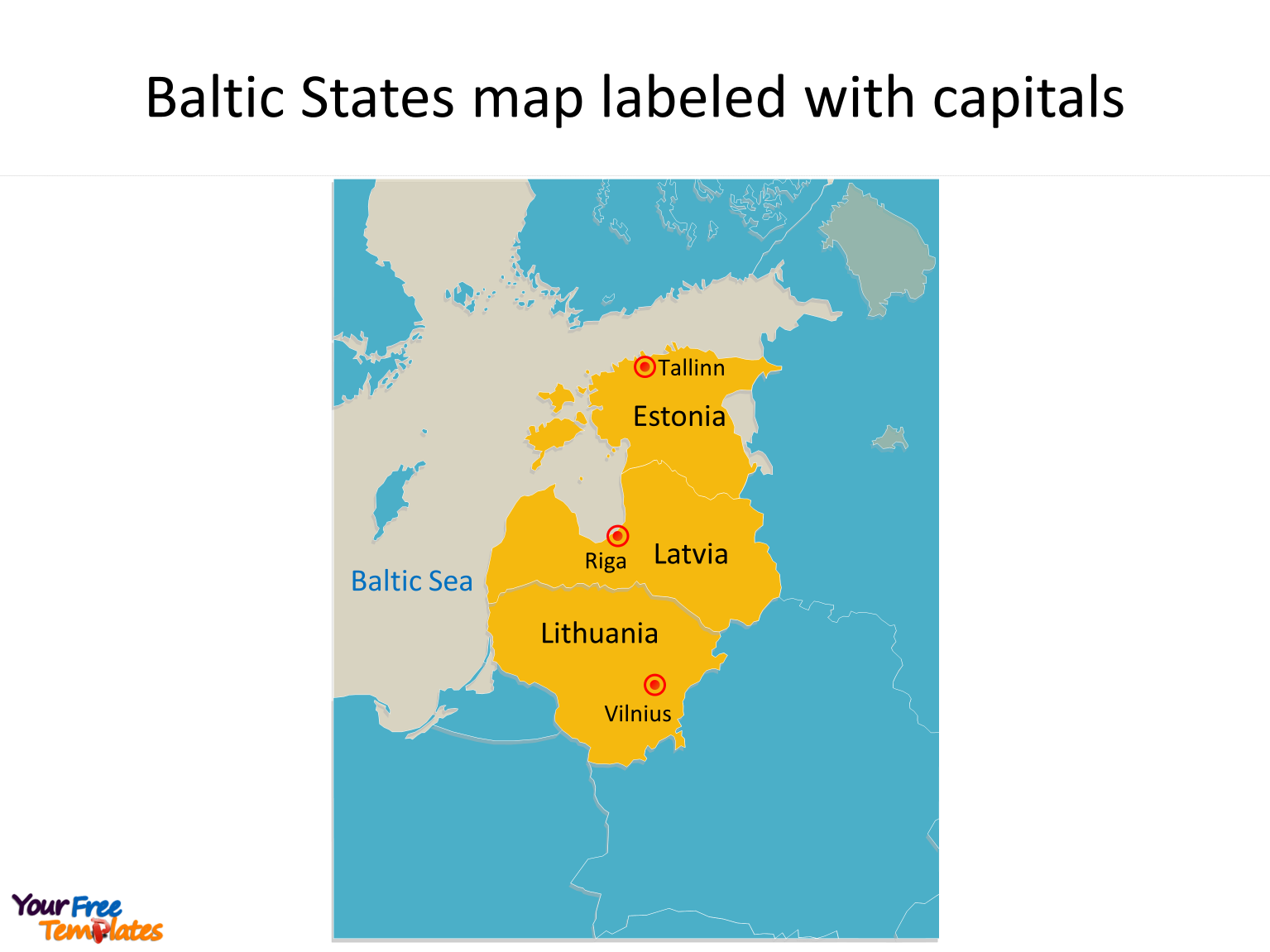
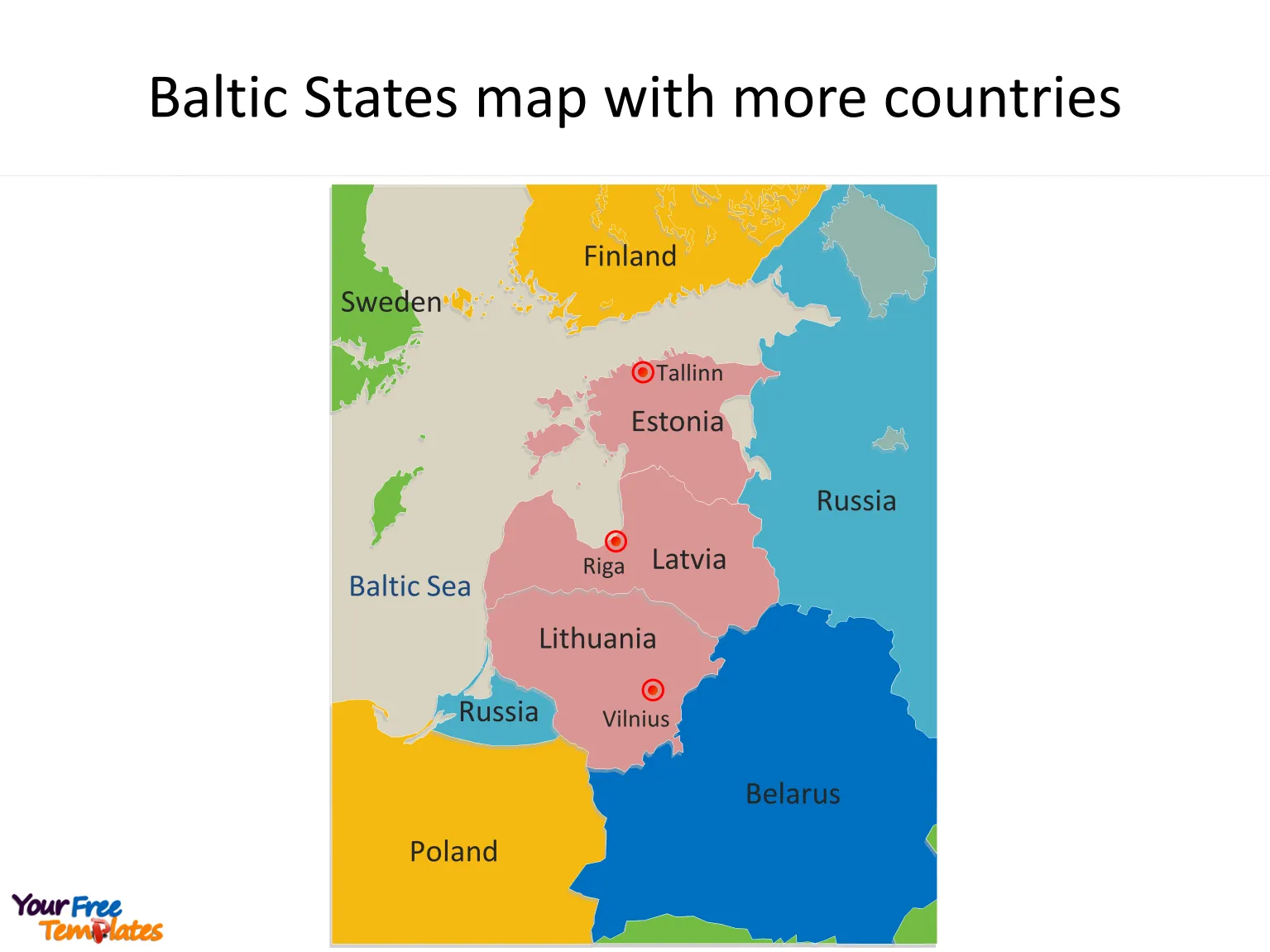
The Map of Baltic States Template in PowerPoint format includes three slides, that is, the Baltic States outline map and Baltic States blank political map, and political map. Firstly, our Baltic States outline map free templates have major capital cities on the Baltic Sea map, which are Tallinn, Riga and Vilnius respectively. Secondly, there are 3 countries in our Baltic States map free templates, highlighting all the countries that are Estonia, Latvia and Lithuania.
The Baltic States Map free templates include three slides.
Slide 1, Baltic States map combining as a total
Our Map of Baltic States is for the Baltic countries, Baltic republics, Baltic nations, or simply, the Baltics, are the three countries in northern Europe on the eastern coast of the Baltic Sea. Firstly all three countries are members of the European Union, NATO and the Eurozone. Secondly they are classified as high-income economies by the World Bank and maintain high Human Development Index. Thirdly Estonia and Latvia are also members of the OECD, while Lithuania is a prospective candidate. The capital cities in Baltic States are including Tallinn, Riga and Vilnius. You can found them in our Baltic States map free templates.

Slide 2, Baltic States map with the 3 Countries on the Baltic Sea map free templates.
The Baltic States blank political map is for the 3 individual countries along the eastern coast of the Baltic Sea map. Furthermore each individual country is an editable map. So you can highlight your target countries and add your texts.

Slide 3, Baltic States Map labeling with 3 Countries and capitals on the Baltic Sea map.
It is noted that the Map of Baltic States is the country political division of there are 3 countries. Namely, they are Estonia, Latvia and Lithuania. You can find neighboring countries such as Russia, Belarus, Poland, Finland and Sweden. What is more, every individual political subdivision is an editable shape. The labels and shapes are grouped by layers. In a word, you can change the texts, colors, sizes, highlight some map shapes, and add your charts. At the same time you can also refer to the fully labeled Map of Baltic States in Wikipedia. The most important of all, analysts from marketing research companies, consultants from professional firms think highly of our website yourfreetemplates.com. Because our maps can help them reduce their efforts and create attractive maps.

Size:3628K
Type: PPTX
Aspect Ratio: Standard 4:3
Click the blue button to download it.
Download the 4:3 Template
Aspect Ratio: Widescreen 16:9
Click the green button to download it.
Download the 16:9 Template


