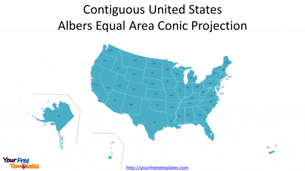
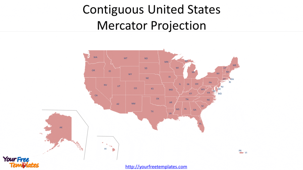
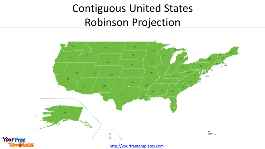
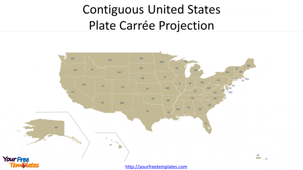
The US Map projection types in PowerPoint format include four slides. Here you will get Contiguous USA maps with Albers Equal Area Conic projection, US Mercator map, US Robinson projection and Plate Carrée Projection. As the US diagram PowerPoint template series, you can also enjoy 2020 US Population density, 50 US State Shapes Map Template, United States Maps template, United States Map template, and US regions map.
Slide 1, Contiguous United States Albers Equal Area Conic Projection
This conic projection uses two standard parallels to reduce some of the distortion of a projection with one standard parallel from the ArcGIS definition. Although neither shape nor linear scale is truly correct, the distortion of these properties is minimized in the region between the standard parallels. This projection is best suited for land masses extending in an east-to-west orientation rather than those lying north to south. So this projection is used in the National Atlas of the United States.

Slide 2 Contiguous United States Mercator map or UTM map
The Mercator map of Map projection types is a transformation of a cylindrical projection used for sea navigation, air travel, wind direction, and ocean current. Cylindrical projection is the method. Meridians are parallel to each other and equally spaced. The lines of latitude are also parallel but become farther apart toward the poles. It gains popularity as Google maps have used this projection for its map images.

Slide 3 Contiguous United States Robinson projection map
Robinson projection also called Orthophanic one. A compromise projection used for world maps. The projection method is Pseudo-cylindrical. Meridians are equally spaced and resemble elliptical arcs, concave toward the central meridian. The typical applications are for use in general and thematic world maps.

Slide 4 Contiguous United States Plate Carrée Projection or cylindrical projection
This projection is also known as equidistant cylindrical, Simple Cylindrical, Rectangular, or Plate Carrée (if the standard parallel is the equator). This simple cylindrical projection converts the globe into a Cartesian grid. It is best used for city maps or other small areas with map scales large enough to reduce the obvious distortion.

For premium maps of US counties by state, please visit our ofomaps.com.
Size:1440K
Type: PPTX
[sociallocker]Aspect Ratio: Standard 4:3
Click the link to download it.
Download the 4:3 Template
Aspect Ratio: Widescreen 16:9
Click the link to download it.
Download the 16:9 Template[/sociallocker]


