The SAR of Hong Kong map Template in PowerPoint format includes six slides, featuring the outline, three regions and 18 districts.
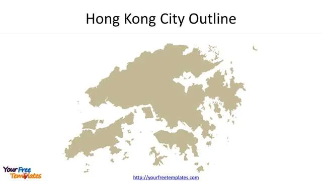
Slide 1, Hong Kong map of boundary
Hong Kong is a special administrative region (SAR) that has been part of the People’s Republic of China since 1 July, 1997. The city has bordered the Shenzhen city of Guangdong province in South China.
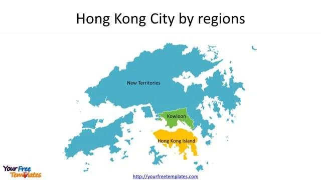
Slide 2, Hong Kong City by regions
There are three regions in Hong Kong, namely, New Territories, Kowloon and Hong Kong Island under the rule of United Kingdom.
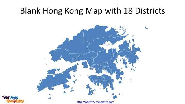
Slide 3, Blank Hong Kong Map with 18 Districts
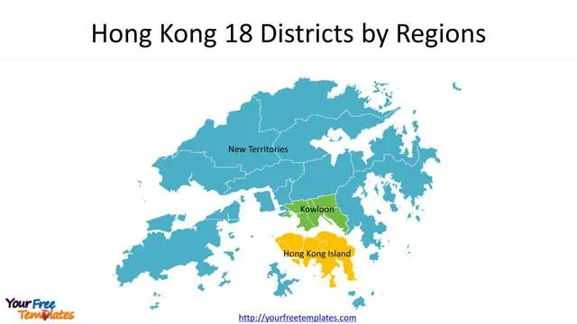
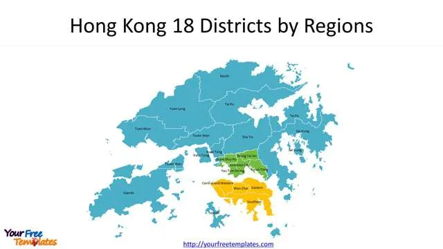
Slide 4, Hong Kong 18 Districts by Regions
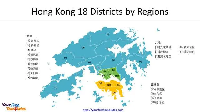
Slide 5, Labeled Hong Kong 18 Districts by Regions
- Hong Kong Island with 4 districts: Central & Western District (中西区), Eastern District (东区), Southern District (南区), Wan Chai District (湾仔区)
- Kowloon with 5 districts: Kowloon City District (九龙城区), Kwun Tong District (观塘区), Sham Shui Po District (深水埗区), Wong Tai Sin District (黄大仙区) and Yau Tsim Mong District (油尖旺区)
- New Territories with 9 districts: Islands District (离岛区), Wai Tsing District (葵青区), North District (北区), Sai Kung District (西贡区), Sha Tin District (沙田区), Tai Po District (大埔区), Tsuen Wan District (荃湾区), Tuen Mun District (屯门区), Yuen Long Districtb (元朗区).
Slide 6, Chinese Labeled Hong Kong 18 Districts by Regions
For other interesting maps, pls visit our ofomaps.com
Size:1391K
Type: PPTX
[sociallocker]Aspect Ratio: Standard 4:3
Click the blue button to download it.
Download the 4:3 Template
Aspect Ratio: Widescreen 16:9
Click the green button to download it.
Download the 16:9 Template[/sociallocker]


