The California Monterey Map template in PowerPoint format includes 5 slides. Firstly, we have the California Monterey Map template location within the state County Map. Secondly, it is Monterey County map template with 13 Subdivisions. Thirdly is the county map with 18 Planning Areas. Finally, there are 25 Urban Areas and one harbor district in this county. As the same diagram PowerPoint template series, you can also find our San Bernardino, San Diego, San Jose, California City 1, California City 2, Orange County and California counties, Florida county map templates, Florida City Map, and Florida Palm Beach map, Ketchikan Alaska, Aurora Colorado, Charlotte, Texas Harris, Virginia Fairfax PowerPoint templates.
Monterey County, situated on the Pacific coast in California, is a region with diverse features and significance. With a population of 439,035 as of the 2020 census, the county covers a total area of 3,771 square miles, bordering the southern part of Monterey Bay, which has made it famous for its scenic features such as Carmel-by-the-Sea and the 17 Mile Drive on the Monterey Peninsula.
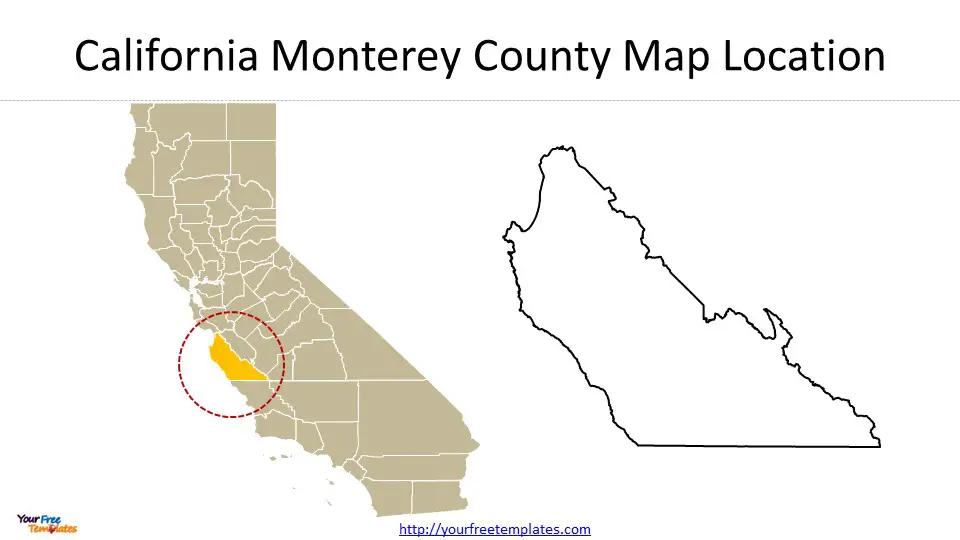
Slide 1, California Monterey County Map Location
Location and Importance
The county is a member of the regional governmental agency, the Association of Monterey Bay Area Governments. It shares borders with Santa Cruz County to the north, San Benito County, Fresno County, and Kings County to the east, and San Luis Obispo County to the south. Monterey County is known for its historical significance, as it was the capital of California during the Spanish and Mexican rule. Today, the county’s economy is primarily driven by tourism along its coastal regions and agriculture in the Salinas River valley.

Economy
The economy of Monterey County is largely based on tourism, with its coastal regions attracting visitors from around the world. Additionally, agriculture plays a significant role, particularly in the region of the Salinas River valley. The county is famous for its fresh produce, including lettuce, strawberries, and artichokes, making it an important agricultural hub within California.
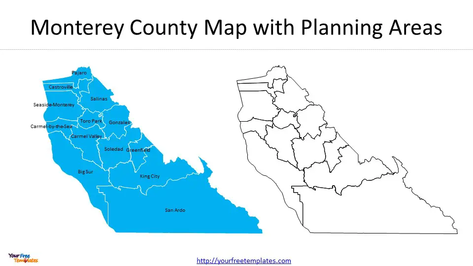
Slide 2, California Monterey County Map with 13 Subdivisions
Monterey County is divided into 13 subdivisions, each with its unique characteristics and contributions to the county’s overall landscape. These subdivisions are Carmel-by-the-Sea, Carmel Valley, Castroville, Big Sur, Gonzales, Greenfield, King City, Pajaro, Salinas, San Ardo, Seaside-Monterey, Soledad, and Toro Park.

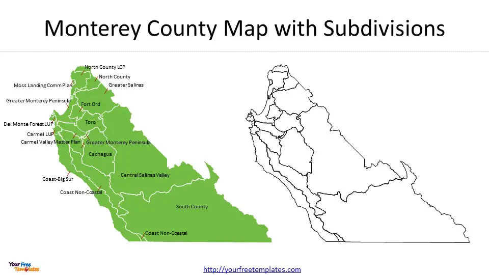
Slide 3, California Monterey Map with 18 Planning Areas
The county is further divided into 18 planning areas, each with specific zoning and development regulations. These planning areas play a crucial role in the county’s urban development and infrastructure management. The planning areas include: Cachagua, Carmel LUP, Carmel Valley Master Plan, Central Salinas Valley, Coast Non-Coastal, Coast Non-Coastal, Coast-Big Sur, Del Monte Forest LUP, Fort Ord, Greater Monterey Peninsula, Greater Monterey Peninsula, Greater Monterey Peninsula, Greater Salinas, Moss Landing Comm Plan, North County, North County LCP, South County, and Toro.


