The San Diego map Template in PowerPoint format includes three slides. You can enjoy the county on the California Map, with surrounding counties, county map with Census Urban Areas, San Diego with Major Statistical Areas (MSAs). You can also find our blank or labeled California Bay Area Map, Florida state map, Texas state map, Chicago map, Los Angeles map, New York map, Washington DC map and US map with states.
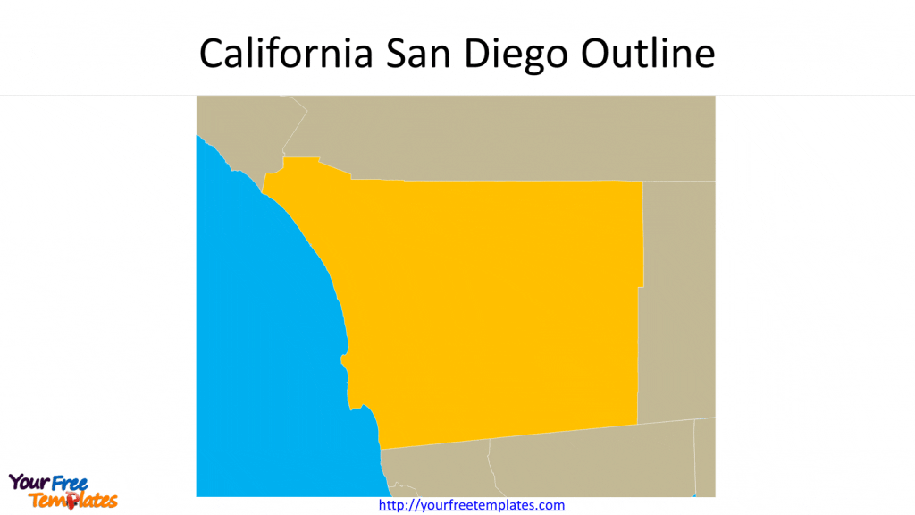
Slide 1, California San Diego Outline
The San Diego is one of the counties in southwest area of California, which is bordering Mexico states of Baja California and Sonora.

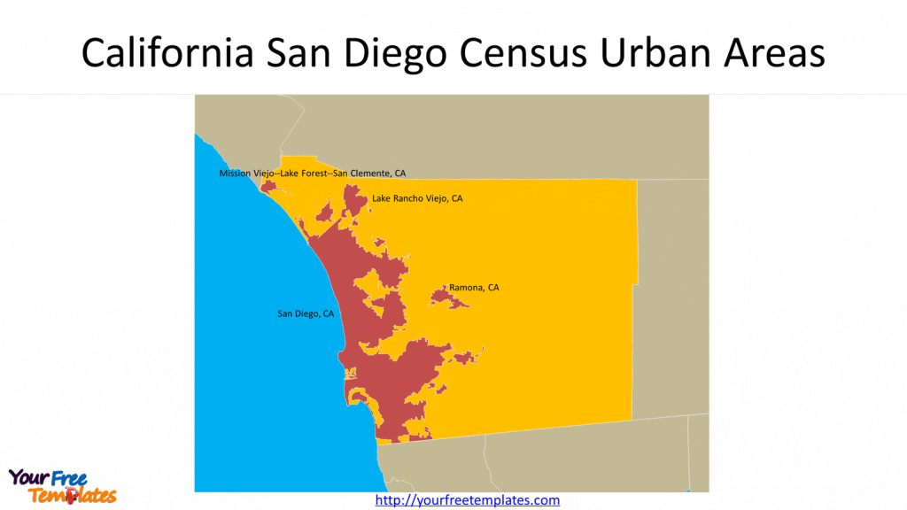
Slide 2 San Diego county map with Census Urban Areas
The chart shows four Census Urban Areas in the San Diego Map, which are Mission Viejo–Lake Forest–San Clemente, Lake Rancho Viejo, San Diego, and Ramona.

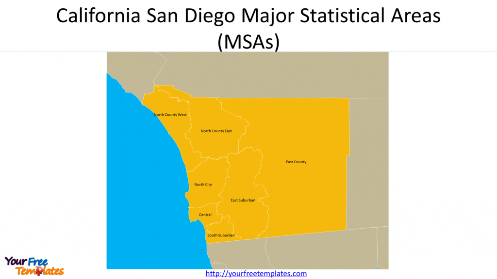
Slide 3 San Diego with Major Statistical Areas (MSAs)
There are seven Major Statistical Areas (MSAs) in the San Diego County which are North County West, North County East, North City, East Suburban, East County, Central, and South Suburban.

For Southern California, we also have Los Angeles map covering 5 slides showing city Boundary,7 Area Planning Commission, 35 Community Plan Area, 15 Council Districts and 99 Neighborhoods.
For premium maps of US counties by state, please visit our ofomaps.com.
Size:310K
Type: PPTX
[sociallocker]Aspect Ratio: Standard 4:3
Click the link to download it.
Download the 4:3 Template
Aspect Ratio: Widescreen 16:9
Click the link to download it.
Download the 16:9 Template[/sociallocker]


