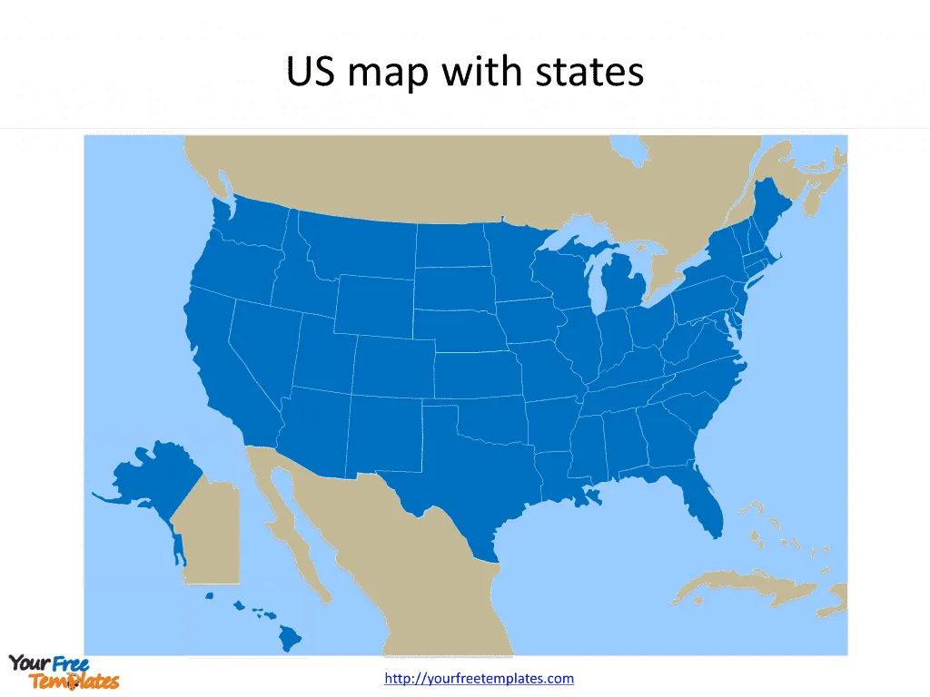
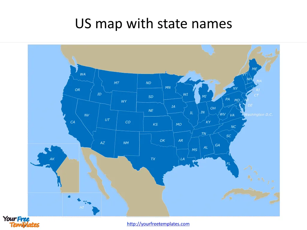
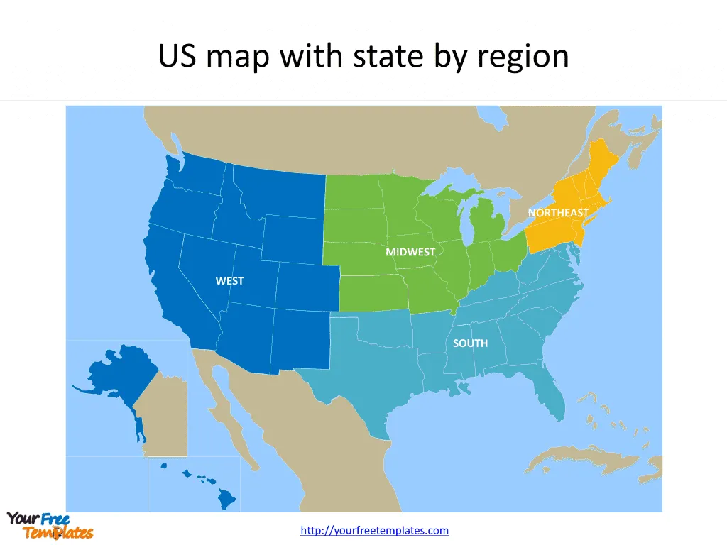
The US map with states Template in PowerPoint format includes three slides. Firstly you have the blank and framed country with states. Secondly US map with state names have the two-letter abbreviation state names. Finally the framed US state map by region will let you add country names or ocean names to customize your own USA maps. For the USA state maps series, you can enjoy United States Map Template, Free USA PowerPoint Map, US Region Map Template, and US map with Mid-Atlantic States, US maps with South Atlantic States and US New England map.
Slide 1, blank and framed US map with states.
The free PowerPoint template of the US map with states offers a versatile and easily customizable tool for various presentations, ranging from educational settings to business and marketing strategies. As highlighted in the resources provided, this template is designed to cater to a wide array of applications, making it an invaluable asset for presenters looking to convey information with a geographic dimension.

Slide 2, US map with state two-letter abbreviation names are labeling on the maps
One of the standout features of our template is its full editability, which allows users to tailor the map to their specific needs. Whether it’s highlighting particular states for a sales presentation, indicating demographic data for a research project, or planning travel routes in a tourism proposal, the ability to customize the map ensures that the presenter can effectively communicate their message. The inclusion of state names within the map enhances its utility, providing clear identification and avoiding any potential confusion for the audience

USA is a country composed of 50 states and the Washington D.C.. Every individual political subdivision is an editable shape. Detailed United State map with names of political administrative divisions please refer to Wikipedia USA.
Slide 3, Map of the United by census region
The regions are Northeast, Midwest, South, and West. US state map by region is for states grouped by census regions. Puerto Rico and other US territories are not part of any census region or census division.
Region 1: Northeast
Division 1: New England (Connecticut, Maine, Massachusetts, New Hampshire, Rhode Island, and Vermont).Then Division 2: Mid-Atlantic (New Jersey, New York, and Pennsylvania)
Region 2: Midwest
Next Division 3: East North Central (Illinois, Indiana, Michigan, Ohio, and Wisconsin). Division 4: West North Central (Iowa, Kansas, Minnesota, Missouri, Nebraska, North Dakota, and South Dakota)
Region 3: South
Division 5: South Atlantic (Delaware, Florida, Georgia, Maryland, North Carolina, South Carolina, Virginia, District of Columbia, and West Virginia).Division 6: East South Central (Alabama, Kentucky, Mississippi, and Tennessee). Division 7: West South Central (Arkansas, Louisiana, Oklahoma, and Texas)
Region 4: West
Division 8: Mountain (Arizona, Colorado, Idaho, Montana, Nevada, New Mexico, Utah, and Wyoming). Division 9: Pacific (Alaska, California, Hawaii, Oregon, and Washington). Puerto Rico and other US territories are not part of any census region or census division.

Moreover, the template’s compatibility with both PowerPoint and Google Slides expands its accessibility, ensuring that users can work within their preferred platform without encountering compatibility issues. This feature, coupled with its free availability, democratizes access to a high-quality resource, enabling professionals, educators, and students alike to leverage the power of visual geography in their presentations without incurring additional costs.
In conclusion, the free editable USA Map with states PowerPoint template stands out as a practical and user-friendly tool for anyone looking to incorporate geographic information into their presentations. Its versatility, editability, and wide application scope make it a must-have resource for effective and engaging presentations
Size: 352K
Type: PPTX
[sociallocker]Aspect Ratio: Standard 4:3
Click the blue button to download it.
Download the 4:3 Template
Aspect Ratio: Widescreen 16:9
Click the green button to download it.
Download the 16:9 Template[/sociallocker]


