The South Atlantic State map Template in PowerPoint format includes five slides.
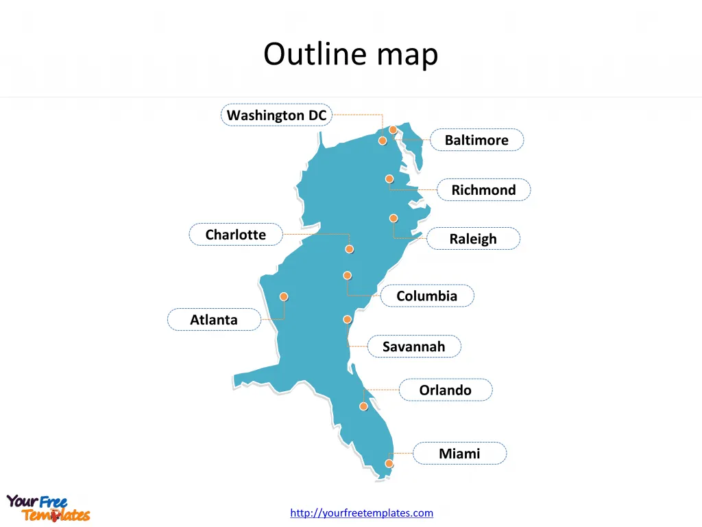
- Firstly the US map of South Atlantic State with outline is labeling with capital and major cities.
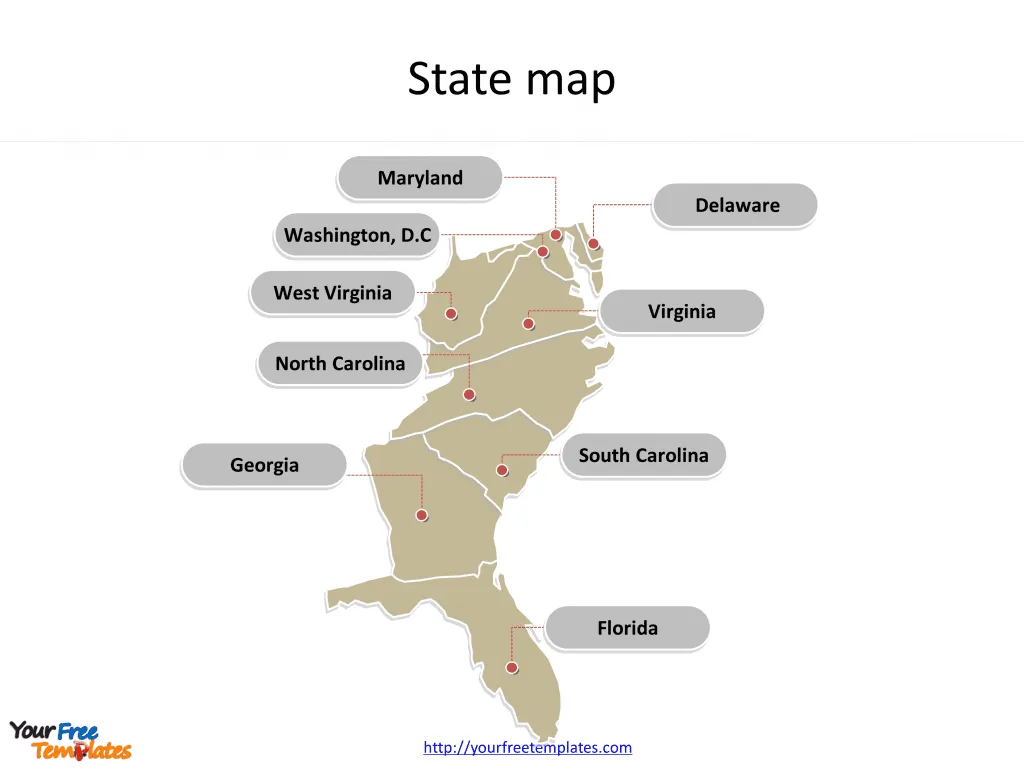
- Secondly the US map with state outline is labeling with names of states.
- Thirdly there are three framed US maps for South Atlantic State. So our US map with South Atlantic State PowerPoint templates have major cities on it. They are Orlando, Miami, Savanna, Atlanta, Columbia, Charlotte, Raleigh, Richmond, Washington DC and Baltimore.
- Then the South Atlantic State is U.S. Census Bureau Region 3, Division 5. It is consisting of the states of Delaware, Maryland, Virginia, West Virginia, North Carolina, South Carolina, Georgia, Florida, and the District of Columbia.
Slide 1, US South Atlantic State map PowerPoint templates labeling with capital and major cities
Our US map of South Atlantic State is for the state in the East and Southeast of the United States. The South Atlantic United States form one of the nine Census Bureau Divisions within the United States that are recognized by the United States Census Bureau. Major capitals and cities are Orlando, Miami, Savanna, Atlanta, Columbia, Charlotte, Raleigh, Richmond, Washington DC and Baltimore. You can found them in our US maps PowerPoint templates.

Slide 2, South Atlantic State map PowerPoint templates labeling with the state names
This division includes eight states and one district; Delaware, Florida, Georgia, Maryland, North Carolina, South Carolina, Virginia, West Virginia, and Washington, D.C.. What is more, as of 2010, the South Atlantic State had a combined population of 61,774,970. The South Atlantic States region covers 292,589 square miles. The labels and shapes are layers of different groups. In a word, you can change the texts, colors, sizes, and add your charts. At the same time you can also refer to the fully South Atlantic States in Wikipedia.
Believe it or not, analysts from marketing research companies, consultants from professional firms think highly of our website yourfreetemplates.com. Most important of all, our maps can help to reduce their efforts and create good-looking maps.


