United States Map template

6,002 views

The United States Map with states Template in PowerPoint format includes six slides. It is about the infographic of present the country as a whole and just part of it. Texas, California, Florida, Illinois and New York states are presented by one, two, three, four, and five states. For US map, you can also enjoy our USA state maps series, Free USA PowerPoint Map, Free US map with states, US Region Map Template, and US map with Mid-Atlantic States, US maps with South Atlantic States and US New England map.

Slide 1&2, United States Map highlighting key states, single state slide presentation

In this slide, you can highlight the most populated states such as Texas, California, Florida and New York. Each state filled with different colors with positioning icons. The small state shapes could be placed in the right.
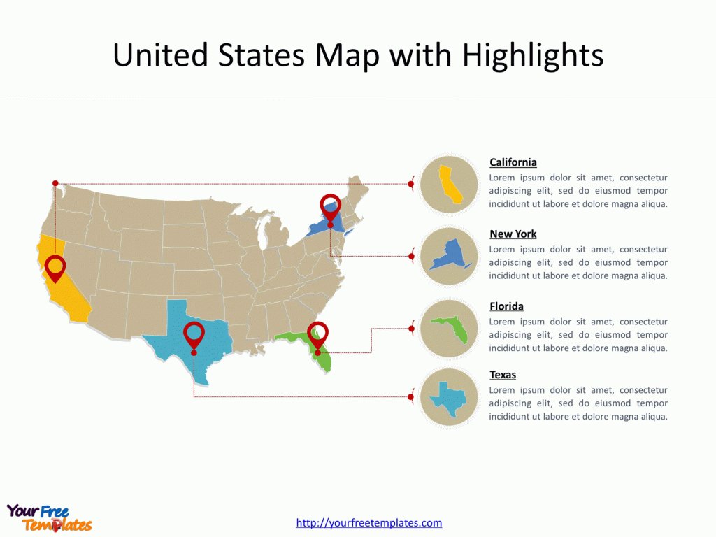
How to present Map with highlights on key states, such as exas, California, Florida, Illinois and New York.

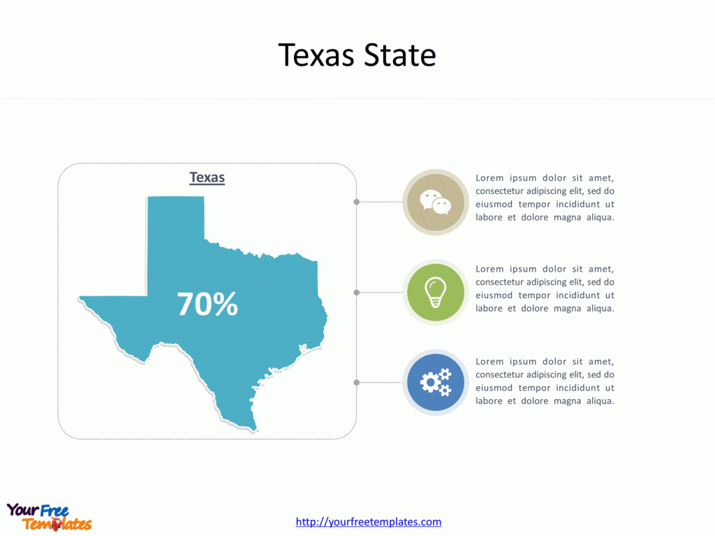
United States Map with one shape. For only one state or one country, we can amplify the outline of the state on the left half, together different icons to demonstrate its population, GDP, or industries on the right half. United States Map with single state presentation.
Slide 3&4, Two or three states of USA map diagram infographic

For two or three states, we can split the layout into two or three parts evenly, decorated with icons to demonstrate ideas according to your topic.
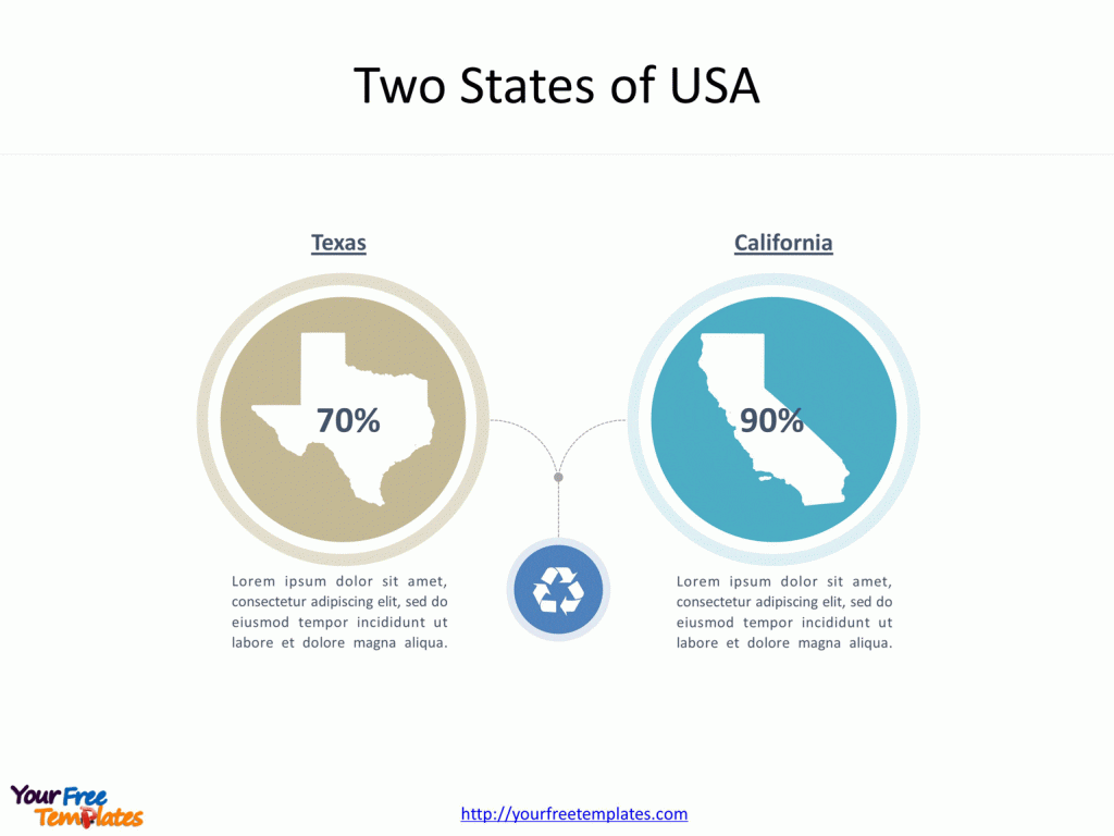
United States Map with Two- state layout presentation.How to present Map with Three - state layout presentation.

Slide 5&6, Four or five states of US map diagram infographic

United States Map with more shapes. For more than three states, you can put each section to be organized by four parts or to be showed in an organized way combining with other diagrams.

Slide with Four - state layout presentation.United States Map with Five-state layout presentation.

With this template, you can easily choose the appropriate layout for the US state and customize it to fit your purpose. However, it is also applicable to use it for other countries other than the United States. For any country in the World, you can present the second level states or provinces by using the outline maps as icons to represent the states or provinces.

For detailed information on United States, please visit Wikipedia.

Size:300K
Type: PPTX

[sociallocker]Aspect Ratio: Standard 4:3
Click the blue button to download it.
Download the 4:3 Template
Aspect Ratio: Widescreen 16:9
Click the green button to download it.
Download the 16:9 Template[/sociallocker]