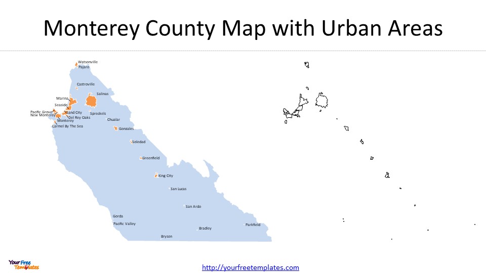
Slide 4, California Monterey Map with 25 Urban Areas
Monterey County encompasses several urban areas, including cities and towns with varying population sizes. The urban areas in the county are Bradley, Bryson, Carmel By the Sea, Castroville, Chualar, Del Rey Oaks, Gonzales, Gorda, Greenfield, King City, Marina, Monterey, New Monterey, Pacific Grove, Pacific Valley, Pajaro, Parkfield, Salinas, San Ardo, San Lucas, Sand City, Seaside, Soledad, Spreckels, and Watsonville.

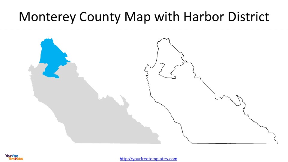
Slide 5, California Monterey Map with Harbor district
The Monterey Harbor, a historic landmark, is an integral part of the harbor district. It has served as a significant port for trade and supplies since the late 1700s. Additionally, the harbor district includes commercial fishing fleets, boat launch ramps, moorings for commercial and recreational vessels, and other facilities. The harbor district is vital for both commercial and recreational activities, making it a key economic and leisure hub within Monterey County.

Looking for Premium maps, please visit our affiliate site: https://editablemaps.com/ or https://ofomaps.com/
Size:780K
Type: PPTX
Aspect Ratio: Standard 4:3
Click the blue button to download the maps.
Download the 4:3 Template
Aspect Ratio: Widescreen 16:9
Click the green button to download the maps.
Download the 16:9 Template


