The California counties map Template in PowerPoint format includes ten slides. You can enjoy the California on the United States Map, Framed California map with surrounding states, the outline boundary of California, Blank or labeled California County Map, California Map with 12 Ports, California Map with Urban Area, California Map with 12 Caltrans Districts, California counties Map grouped by 10 Census Regions and California Map with 4 Regions. You can also find our Los Angeles map, Washington DC, Texas county map, Florida County map, Pennsylvania map, Virtual Reality, Carbon neutral, Circular economy, Carbon footprint, Data Mining, Machine Learning, cloud computing, Artificial Intelligence and BlockChain templates.
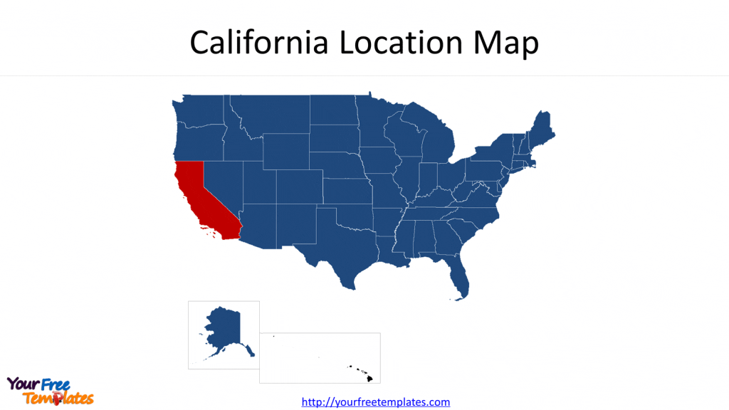
Slide 1, California location map
Our State of California map is for the southwest state of the United States. It is one of 50 states for the western country plus a federal district, Washington DC. The states of Alaska and Hawaii have been placed under the mainland for the purpose of demonstration only.

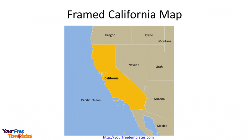
Slide 2, Framed California Map
The neighboring states are Oregon, Nevada, Arizona, and Mexico country. Pacific Ocean is surrounding the state. In this location map, the state of Montana, Idaho and Utah are also showed to make the map complete.

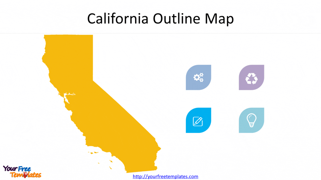
Slide 3, California Outline Map
The blank Outline Map of California has been decorated with small icons; you can add your icons or text to present your ideas, such as creative solutions, recycling economy something like that.


