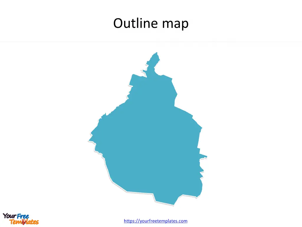
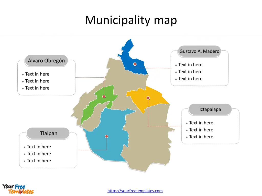
The State of Mexico City map Template in PowerPoint format includes two slides. Firstly the Mexico City map with outline. Secondly the Mexico City maps with outline is labeling with major boroughs. So the most populated boroughs are Iztapalapa, Gustavo A. Madero, Álvaro Obregón, and Tlalpan.
The Mexico City maps PowerPoint templates include two slides.
Slide 1, Mexico City map PowerPoint templates
Mexico City: Location, Population, Economy, and Importance
Location and Population
Mexico City, officially known as Mexico City, is the capital and largest city of Mexico, located in the Valley of Mexico within the high Mexican central plateau. With an altitude of 2,240 meters (7,350 ft), it is one of the most populous cities in North America. As of 2020, the city proper had a population of 9,209,944, with Greater Mexico City encompassing a population of 21,804,515, making it the sixth-largest metropolitan area in the world.
Economy and Importance
Mexico City is a vital cultural and financial center, with a significant influence on the national economy. It has a GDP of $411 billion and is responsible for generating 15.8% of Mexico’s GDP. The metropolitan area accounts for approximately 22% of the country’s GDP, making it one of the most productive urban areas in the world. Furthermore, if it were an independent country, Mexico City would be the fifth-largest economy in Latin America.

Slide 2, Mexico City map PowerPoint templates labeling with the most populated boroughs
Populated Boroughs in Mexico City State
The populated boroughs in Mexico City State play a crucial role in the city’s governance and urban development. The boroughs are Iztapalapa, Gustavo A. Madero, Álvaro Obregón, and Tlalpan. Each of these boroughs contributes to the city’s vibrant cultural, economic, and social fabric.
Significance of Populated Boroughs
- Iztapalapa: With a population of 1,835,486 in 2020, Iztapalapa is one of the most populous boroughs, contributing to the city’s socioeconomic diversity and urban dynamics. It plays a significant role in the city’s cultural and historical heritage.
- Gustavo A. Madero: This borough, with a population of 1,173,351, is a vital area for urban development and residential communities. It adds to the city’s economic and social vitality.
- Álvaro Obregón: With a population of 759,137, Álvaro Obregón is an integral part of Mexico City’s urban landscape, contributing to the city’s economic growth and cultural scene.
- Tlalpan: Tlalpan, with a population of 699,928, is essential for the city’s environmental and cultural sustainability. It adds to the city’s natural beauty and historical significance.

Overall, these populated boroughs in Mexico City State are essential components of the city’s rich cultural heritage, economic development, and demographic diversity, contributing to its status as a major global city.
Looking for Premium maps, please visit our affiliate site: https://editablemaps.com/ or https://ofomaps.com/
Size:108K
Type: PPTX
Aspect Ratio: Standard 4:3
Click the blue button to download it.
Download the 4:3 Template
Aspect Ratio: Widescreen 16:9
Click the green button to download it.
Download the 16:9 Template


