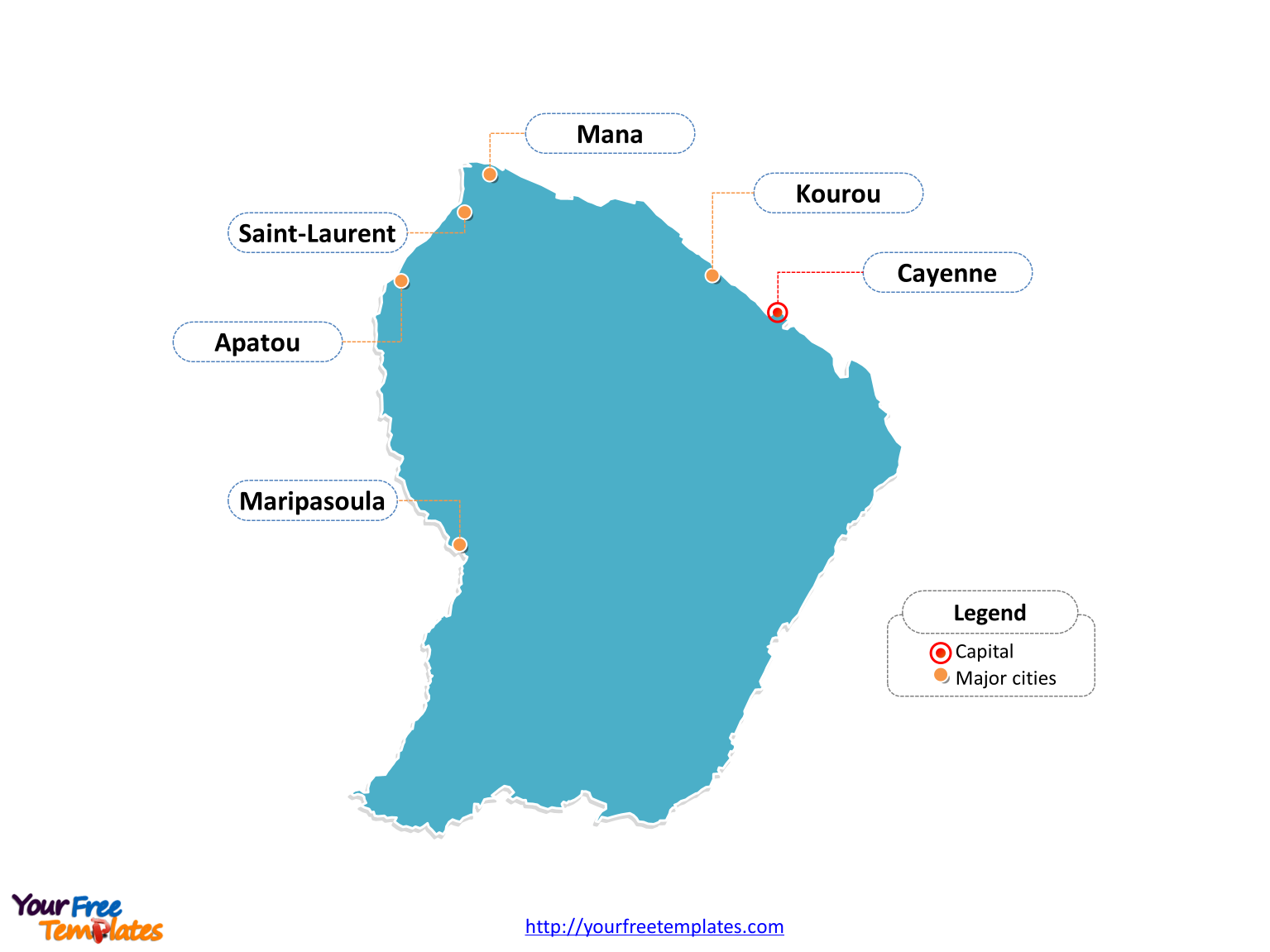
The French Guyana Map Template in PowerPoint format includes two slides, that is, the French Guyana outline map and French Guyana political map. Firstly, our French Guyana outline map template has capital and major cities on it, which are Cayenne, Saint-Laurent, Kourou, Maripasoula, Mana, and Apatou. Secondly, there are 22 communes in our French Guyana political map template of divisions, labeling the most populated divisions that are Cayenne, Saint-Laurent-du-Maroni, Matoury, and Kourou.
Slide 1, French Guyana map labeled with capital and major cities.
Our French Guyana map is for the overseas department and region of France, located on the north Atlantic coast of South America. The country shares borders with Brazil from the east and south, and Suriname from the west. It is well known that Cayenne is the capital and largest city of French Guyana, furthermore, other major cities including Saint-Laurent, Kourou, Maripasoula, Mana, and Apatou. So our French Guyana map slide has the capital and major cities on the outline. Therefore users can edit the outline map to create their unique French Guyana maps and apply in different reports.

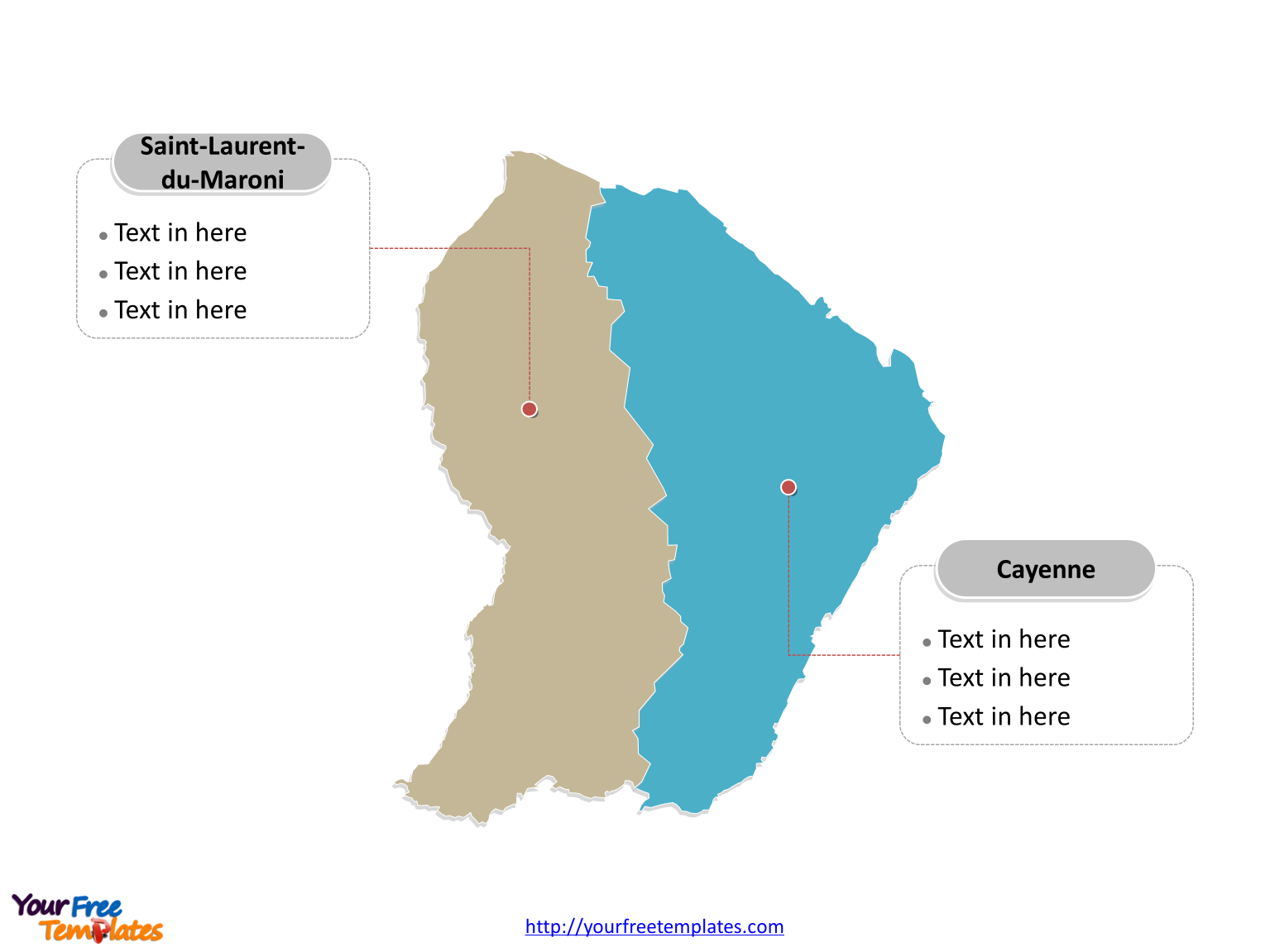
Slide 2, French Guyana map labeled with arrondissements.
The French Guyana map is the country political division of 2 arrondissements. They are Arrondissement of Cayenne and Arrondissement of Saint-Laurent-du-Maroni. Then for each arrondissement, Cayenne has 8 communes, meanwhile, Saint-Laurent-du-Maroni has 14 ones.

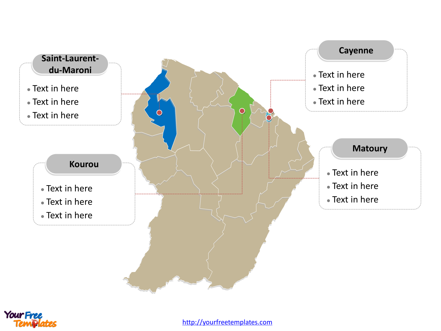
Slide 3, French Guyana map labeled with major communes.
The French Guyana map is the country political division of 22 communes. They are Apatou, Awala-Yalimapo, Camopi, Cayenne, Grand-Santi, Iracoubo, Kourou, Macouria, Mana, Maripasoula, Matoury, Montsinéry-Tonnegrande, Ouanary, Papaïchton, Régina, Remire-Montjoly, Roura, Saint-Élie, Saint-Georges, Saint-Laurent-du-Maroni, Saül, and Sinnamary. What is more, every individual political subdivision is an editable shape. In the final point, you can change the texts, colors, sizes, highlight some map shapes, and add your charts. At the same time you can also refer to the fully labeled French Guyana map in Wikipedia. Most importantly, analysts from marketing research companies, consultants from professional firms are very happy with our PowerPoint templates; because our maps can help to save their precious time and create good-looking maps.

Size:102K
Type: PPTX
Aspect Ratio: Standard 4:3
Click the blue button to download it.
Download the 4:3 Template
Aspect Ratio: Widescreen 16:9
Click the green button to download it.
Download the 16:9 Template


