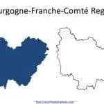
France regions map with 18 Regions, including Île-de-France, Centre-Val de Loire, Bourgogne-Franche-Comté, Normandie, Hauts-de-France, Grand Est, Pays de la Loire, Bretagne, Nouvelle-Aquitaine, Occitanie, Auvergne-Rhône-Alpes, Provence-Alpes-Côte d’Azur, Corse, Guadeloupe, Martinique, Mayotte, La Réunion, and Guyane.
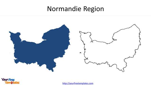
France-map-with-regions-6-Normandie