

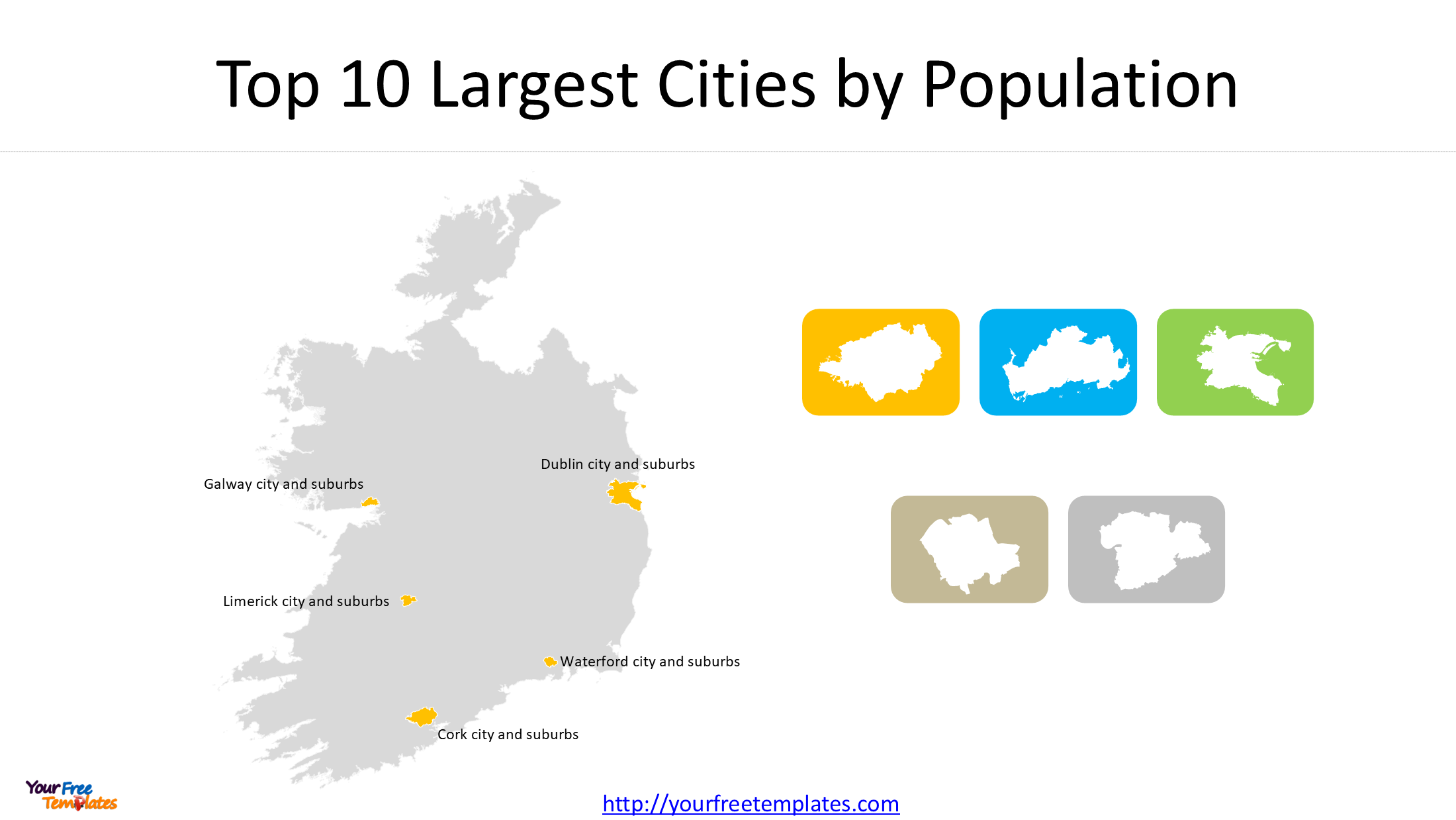
Ireland is home to five major cities, each with its own geographical character, history, urban structure and economic importance. From the capital city of Dublin on the east coast to Cork in the south, Galway in the west, Limerick in the Mid-West and Waterford in the southeast, these cities form the country’s principal urban centres.
An Ireland cities map is a useful way to understand the geographical distribution of these major population centres. Whether you are preparing a school project, developing a business presentation, conducting geographical research or creating an infographic about Ireland, a map showing the country’s five cities provides a clear overview of its urban geography.
In this article, we explore the five major cities of Ireland and introduce a downloadable PowerPoint map set featuring their locations and individual urban settlement boundaries.
| Rank | Urban settlement | County or counties | Population |
|---|---|---|---|
| 1 | Dublin city and suburbs | Dublin and Meath | 1,263,219 |
| 2 | Cork city and suburbs | Cork | 222,526 |
| 3 | Limerick city and suburbs | Limerick and Clare | 102,287 |
| 4 | Galway city and suburbs | Galway | 85,910 |
| 5 | Waterford city and suburbs | Waterford and Kilkenny | 60,079 |
1. Where Are the Five Major Cities in Ireland?
Ireland’s five traditionally recognised cities are Dublin, Cork, Galway, Limerick and Waterford. They are distributed across different parts of the country, providing important centres for administration, commerce, education, tourism and regional development.
Dublin – The Capital of Ireland
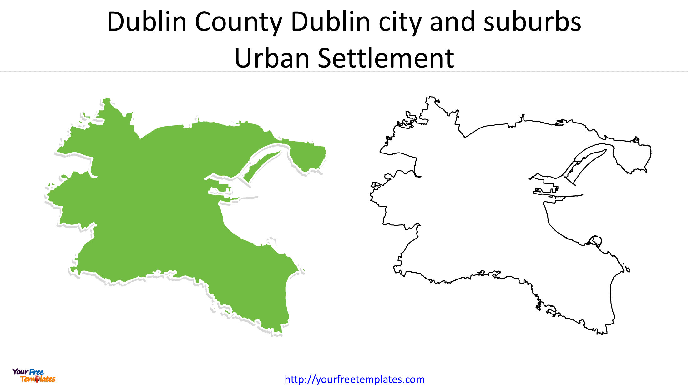
Dublin is located on Ireland’s eastern coast, overlooking Dublin Bay. As the country’s capital and largest urban centre, it is the principal destination for international business, government institutions, higher education and cultural activities.
The Dublin urban area extends beyond the historic city centre into surrounding suburban communities. Its extensive built-up area makes it particularly important when examining Ireland’s population distribution and metropolitan development.
Cork – The Major City in Southern Ireland
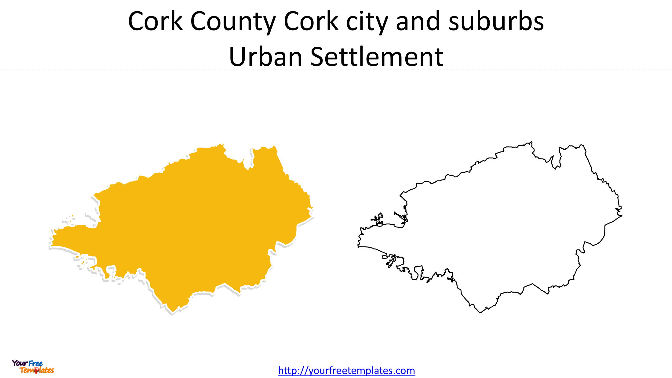
Located in the south of Ireland, Cork is the country’s second-largest city by population within its urban settlement boundaries. The city is situated along the River Lee and has a long-established maritime, commercial and industrial background.
Cork is also an important regional centre for education, technology, pharmaceuticals, manufacturing and international trade. Its location makes it a significant urban hub for southern Ireland.
Galway – The Principal City in Western Ireland
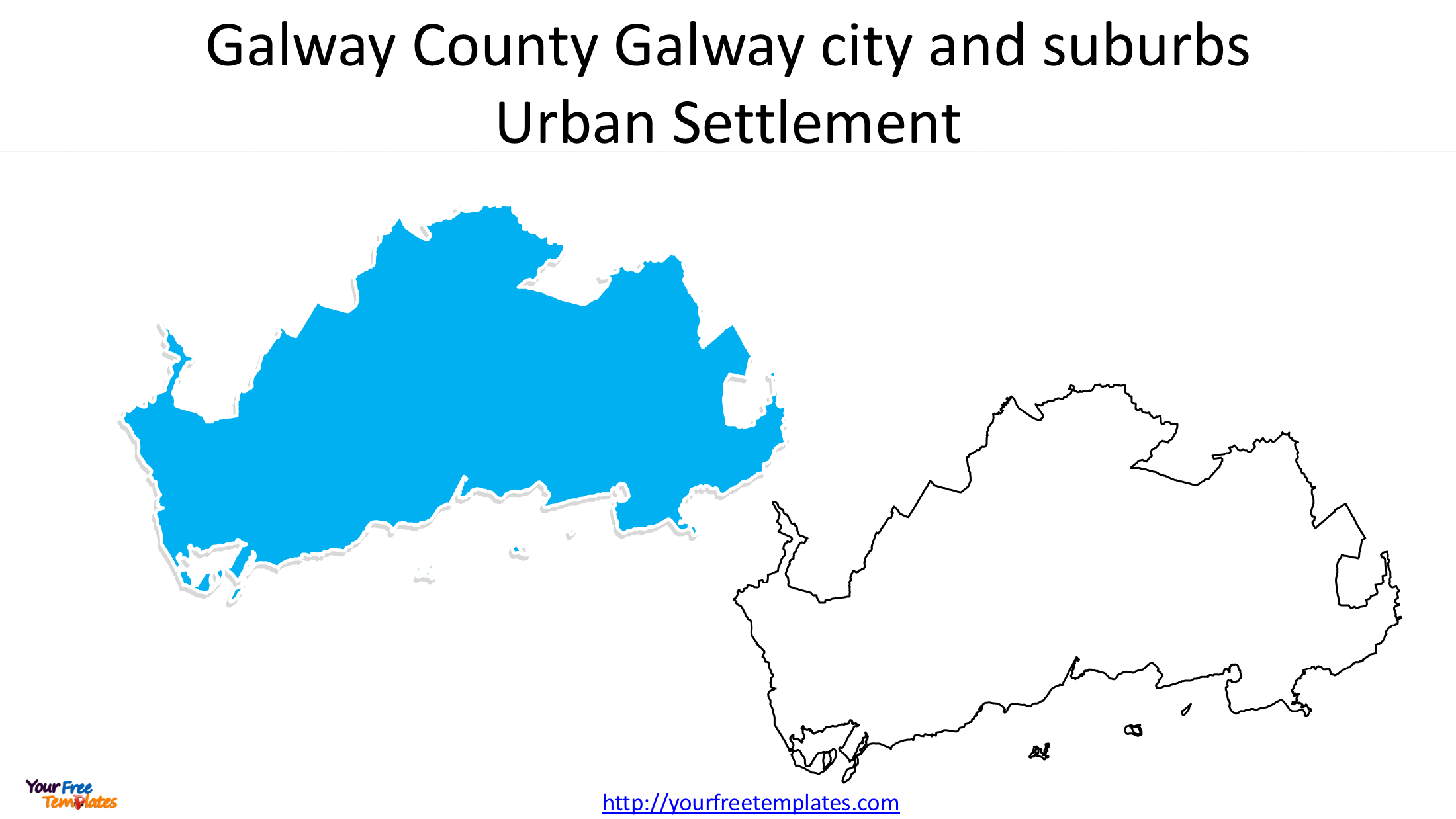
Galway is situated on Ireland’s western coast, overlooking Galway Bay. Known for its cultural heritage, festivals, universities and tourism industry, it is the principal urban centre in the west of the country.
The city’s location also makes it an important gateway to western Ireland’s coastal landscapes and rural communities.
Limerick – An Important Mid-Western Urban Centre
Limerick is located along the River Shannon in the Mid-West region. It is an important commercial, educational and industrial centre, serving communities across counties Limerick, Clare and the wider Shannon region.
Its strategic location along major transport routes contributes to its role in regional economic development.
Waterford – A Historic City in Southeastern Ireland
Waterford is located in southeastern Ireland, close to the River Suir and the country’s southern coastline. It is widely recognised for its Viking heritage, historic architecture and manufacturing traditions.
Waterford also serves as an important regional centre for the southeast, connecting surrounding communities with commercial, educational and cultural facilities.
2. Understanding Ireland’s Urban Settlements
When studying Irish cities, it is important to distinguish between administrative boundaries and urban settlement boundaries.
A city’s administrative area does not necessarily cover its entire built-up urban environment. Residential neighbourhoods and suburbs can extend beyond the administrative city boundary.
The Central Statistics Office (CSO) uses defined settlement and urban-area geographies for population statistics. Census 2022 provides valuable information about the population and geographical extent of Ireland’s urban areas.
According to Ireland’s National Planning Framework, the five cities and their immediate suburbs together accommodated approximately 1.7 million people in 2022, representing just over one-third of the country’s population.
This makes the five cities particularly useful geographical units for studying population concentration, urban development and regional economic activity.
3. Ireland Cities Map – Downloadable PowerPoint Map Set
To make it easier to explore the geographical distribution and boundaries of Ireland’s five major cities, we have developed an Ireland Cities Map PowerPoint collection.
The collection contains 6 slides, providing both a national overview and individual city maps.
Slide 1: Ireland Map with Five Major Cities
The first slide shows the locations of Dublin, Cork, Galway, Limerick and Waterford on an outline map of Ireland. It provides a convenient national overview for presentations, educational materials and geographical comparisons.
Slides 2–6: Individual Urban Settlement Maps
The remaining five slides present individual outline maps of the urban settlements of:
- Dublin
- Cork
- Galway
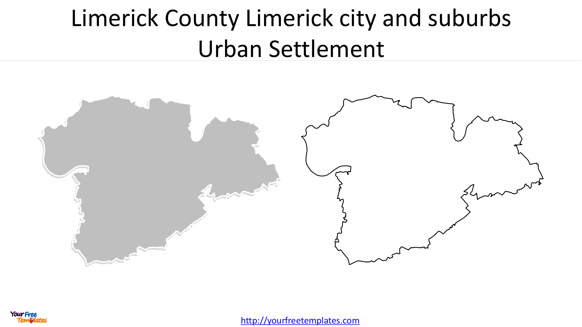
- Limerick
- Waterford
Each map focuses on the geographical extent and outline of its respective urban settlement, allowing users to examine the five areas separately.
The collection is particularly useful for presentations that need both a country-level location map and more detailed views of individual cities.

4. How Can You Use These Ireland City Maps?
The Ireland city map collection can support a variety of projects and professional applications.
- Education: Use the maps for geography lessons, classroom activities and student research about Ireland’s major cities.
- Business presentations: Illustrate the locations of important urban markets, business centres and regional operations.
- Urban research: Present the geographical extent of individual settlements and compare their urban footprints.
- Tourism and travel: Create introductory maps showing the locations of Ireland’s principal cities.
- Data visualization: Add population figures, demographic information, economic indicators or other regional statistics to create informative thematic maps.
Because the collection is provided in PowerPoint format, it can be incorporated into presentation materials and adapted to suit different visual requirements.
5. Download the Ireland Cities Map PowerPoint
If you are looking for an Ireland cities map for education, business presentations, research or data visualization, this six-slide collection offers a convenient starting point.
It combines an outline map of Ireland showing the five major cities with individual urban settlement maps of Dublin, Cork, Galway, Limerick and Waterford.
Explore the Ireland Cities Map PowerPoint collection on YourFreeTemplates and use these geographical resources to create clear and informative presentations about Ireland’s urban geography.
Looking for Premium maps, please visit our affiliate site: https://editablemaps.com/ or https://ofomaps.com/
Size:620K
Type: PPTX
Ireland Cities Map download
Click the link to download it.
Aspect Ratio: Widescreen 16:9
Click the green button to download it.
Download the 16:9 Template