

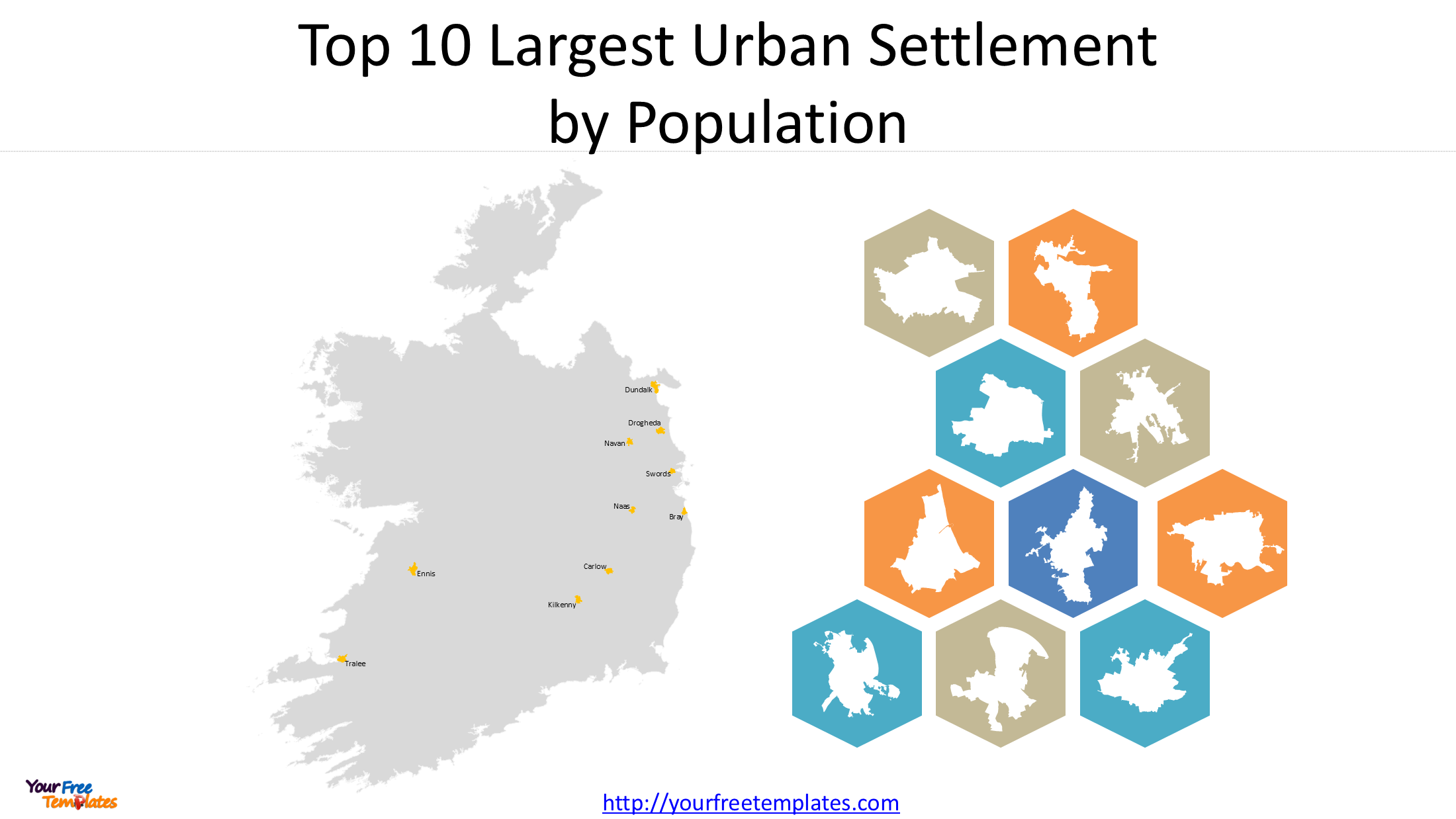
Ireland is home to many historic towns and growing urban centres that play important roles in the country’s population distribution, regional economies and local communities. Beyond the five major cities of Dublin, Cork, Galway, Limerick and Waterford, several large towns have developed into significant population and commercial centres.
An Ireland towns map provides a useful way to explore the geographical distribution of these important settlements. From Drogheda and Dundalk in the northeast to Tralee in the southwest, Ireland’s largest towns are spread across different regions, each with its own geographical character and regional importance.
Based on population figures from Census 2022, this article explores the 10 largest towns in Ireland and introduces an 11-slide PowerPoint map collection featuring their locations and individual urban settlement outlines.
1. Understanding Towns and Urban Settlements in Ireland
When examining Ireland’s towns, it is important to understand the difference between urban settlements and administrative boundaries.
The Central Statistics Office (CSO) uses defined settlement boundaries for census population statistics. These geographical areas represent built-up urban settlements and provide a consistent basis for measuring and comparing population sizes.
A town’s urban settlement boundary does not necessarily correspond to its entire county or local administrative area. In some cases, an urban settlement may extend across county boundaries.
For this reason, urban settlement maps are particularly useful for geographical research, population analysis and visual presentations. They show the geographical extent of a settlement rather than simply highlighting the surrounding county.
The following ranking focuses on the 10 largest Irish towns outside the five major cities, using their Census 2022 urban settlement populations.
2. Top 10 Largest Towns in Ireland by Population
According to Census 2022, the following towns are among Ireland’s largest urban settlements outside the five major cities.
| Rank | Town | County | Population |
|---|---|---|---|
| 1 | Drogheda | Louth / Meath | 44,135 |
| 2 | Dundalk | Louth | 43,112 |
| 3 | Swords | Dublin (Fingal) | 40,776 |
| 4 | Navan | Meath | 33,886 |
| 5 | Bray | Wicklow | 33,512 |
| 6 | Ennis | Clare | 27,923 |
| 7 | Carlow | Carlow | 27,351 |
| 8 | Kilkenny | Kilkenny | 27,184 |
| 9 | Naas | Kildare | 26,180 |
| 10 | Tralee | Kerry | 26,079 |
Source: Central Statistics Office (CSO), Census 2022. Population figures refer to the respective urban settlements.
Drogheda – Ireland’s Largest Town
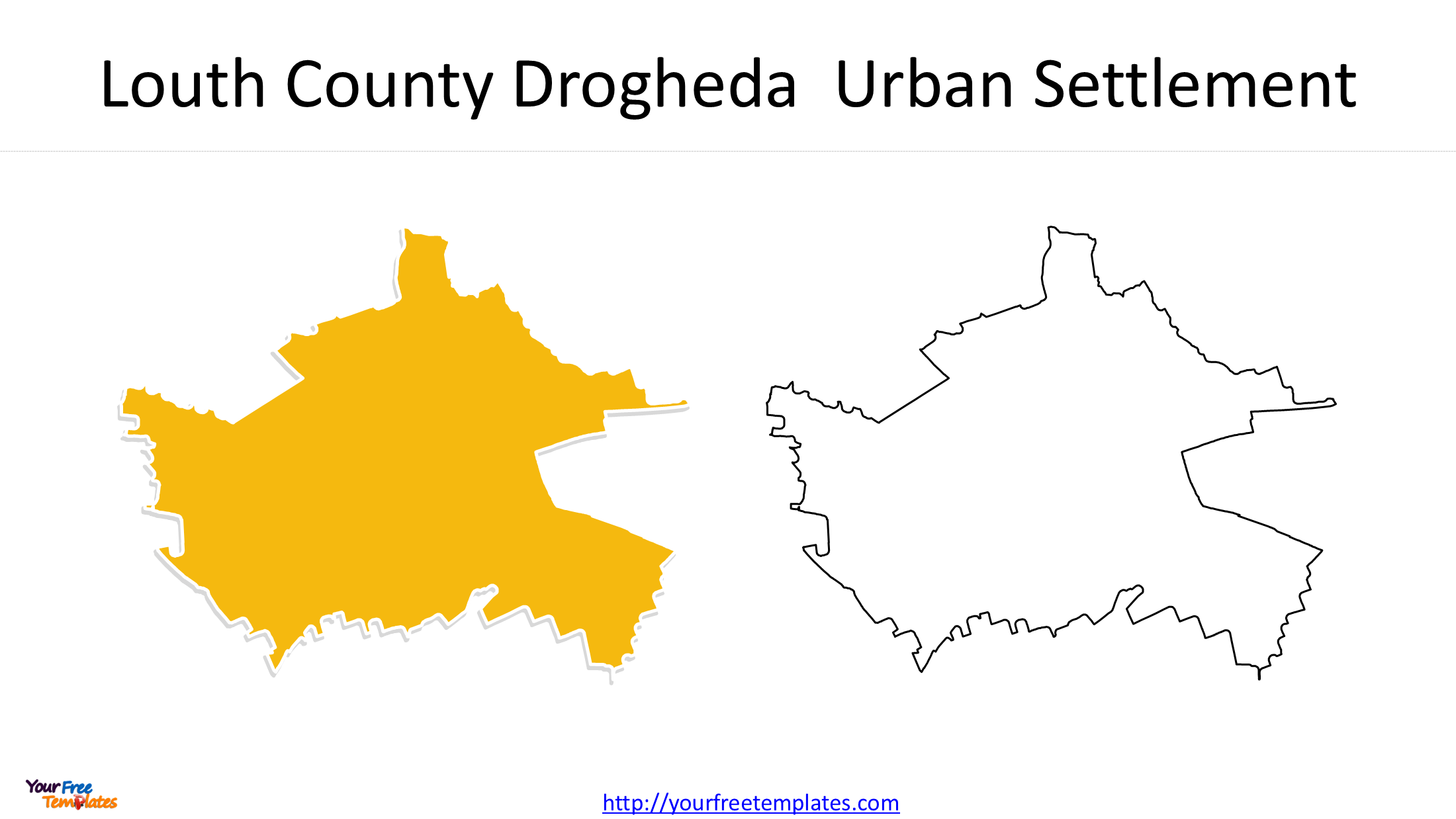
Located in the northeast of Ireland, Drogheda ranks first among the country’s largest towns, with a population of 44,135. Situated along the River Boyne, the town is an important commercial and residential centre in the region.
Its urban settlement extends across the counties of Louth and Meath, making it an interesting example of an urban area that crosses an administrative county boundary.
Dundalk – A Major Town in County Louth
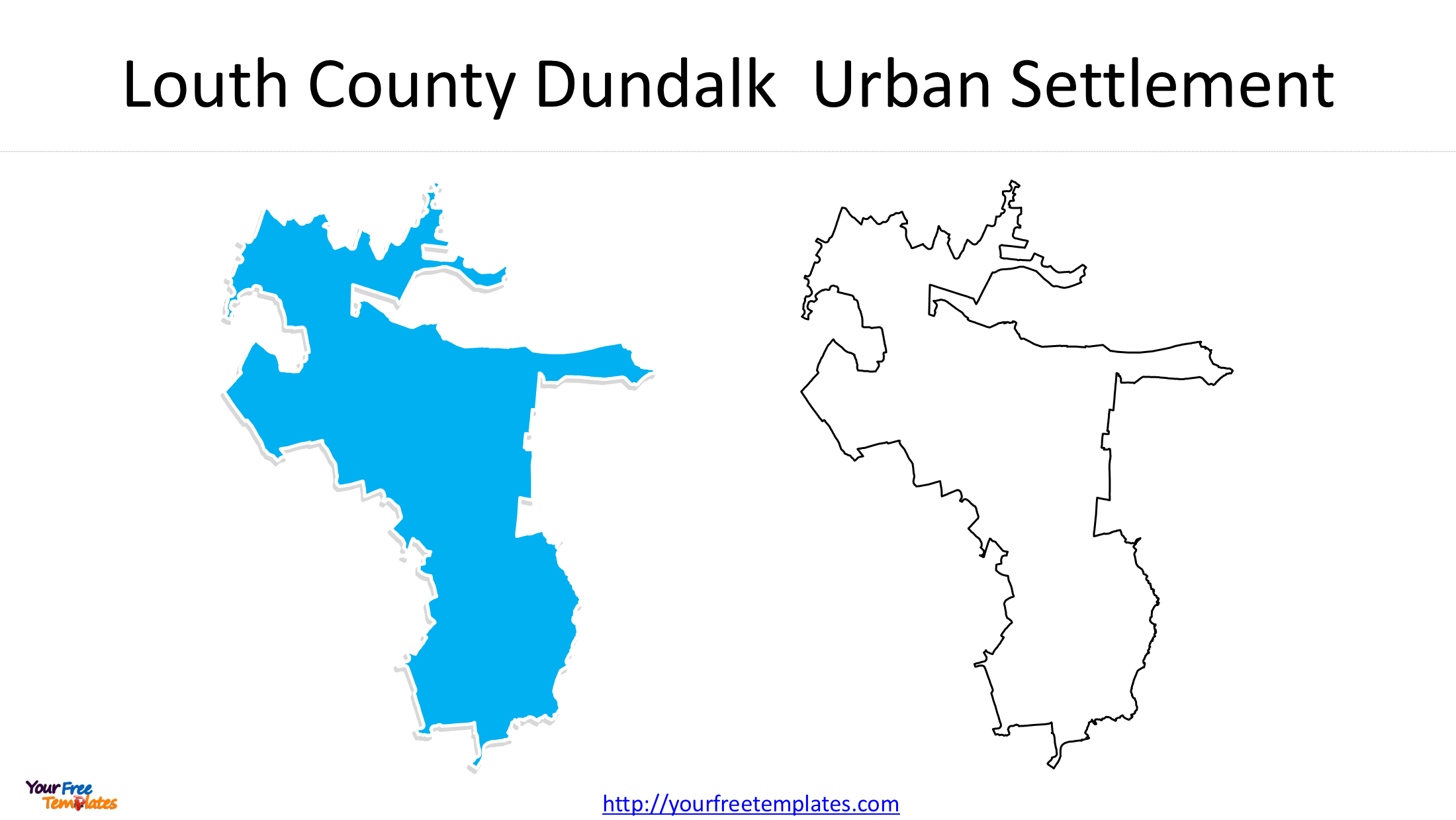
Dundalk ranks second, with 43,112 residents. Located close to the border with Northern Ireland, it is an important regional centre for commerce, education, manufacturing and transportation.
Its strategic location along the Dublin–Belfast corridor contributes to its economic and geographical importance.
Swords – A Growing Urban Centre in County Dublin
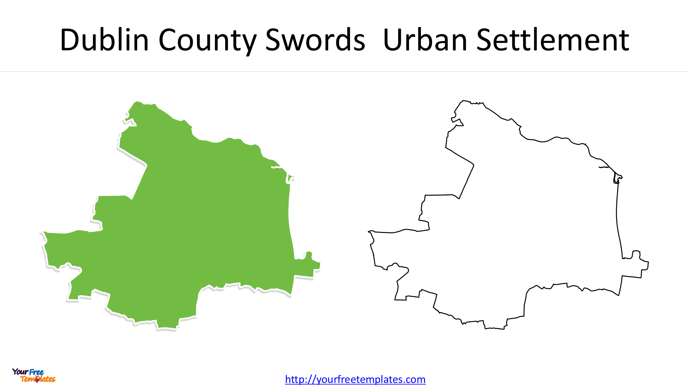
With a population of 40,776, Swords ranks third. Located north of Dublin city, Swords is one of the largest settlements within the wider Dublin metropolitan region.
Its proximity to Dublin Airport and the capital makes it an important residential and commercial centre.
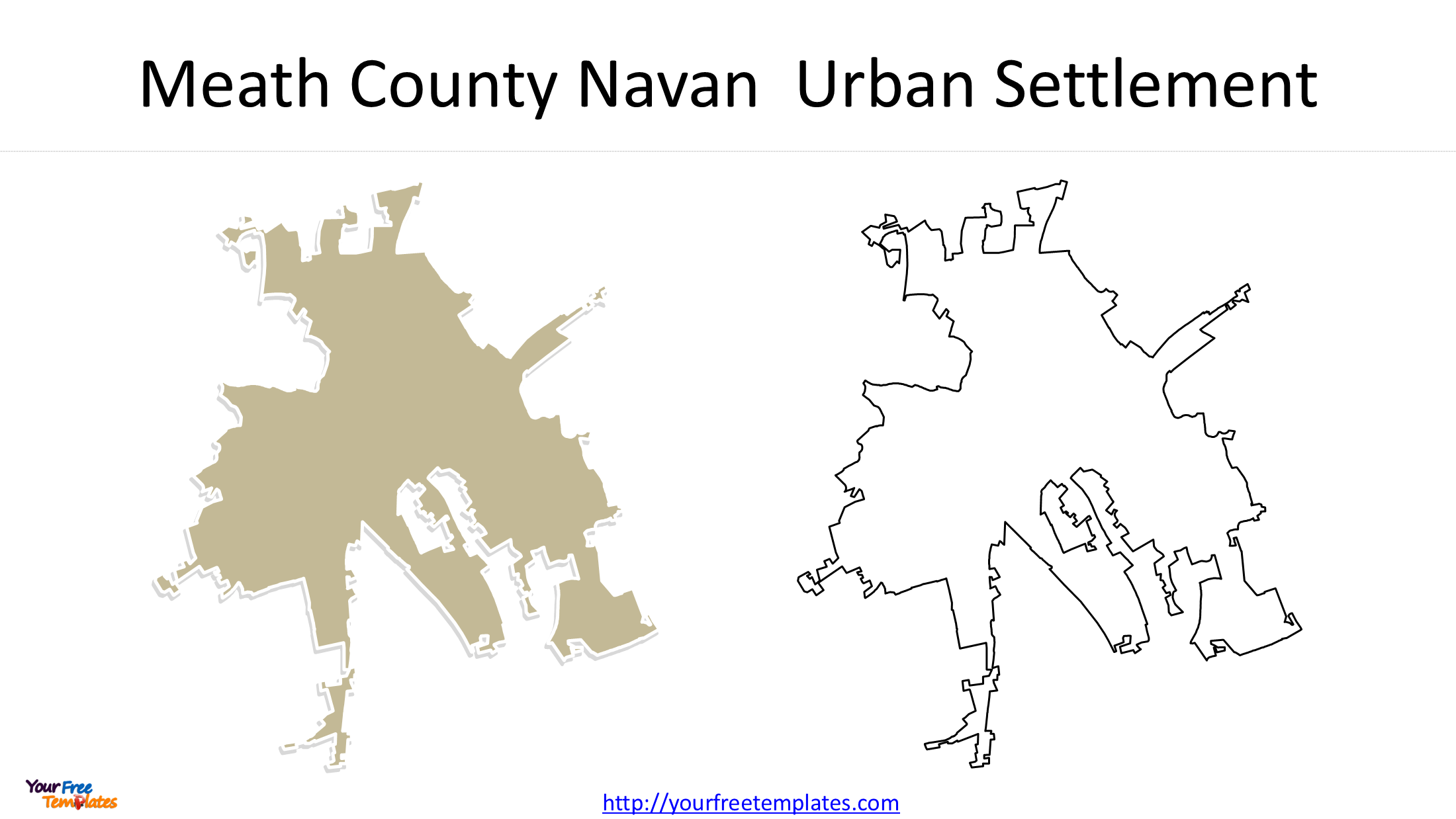
Navan – The Largest Town in County Meath
Navan ranks fourth with 33,886 residents. Located in County Meath, it serves as an important administrative, retail and commercial centre for the surrounding region.
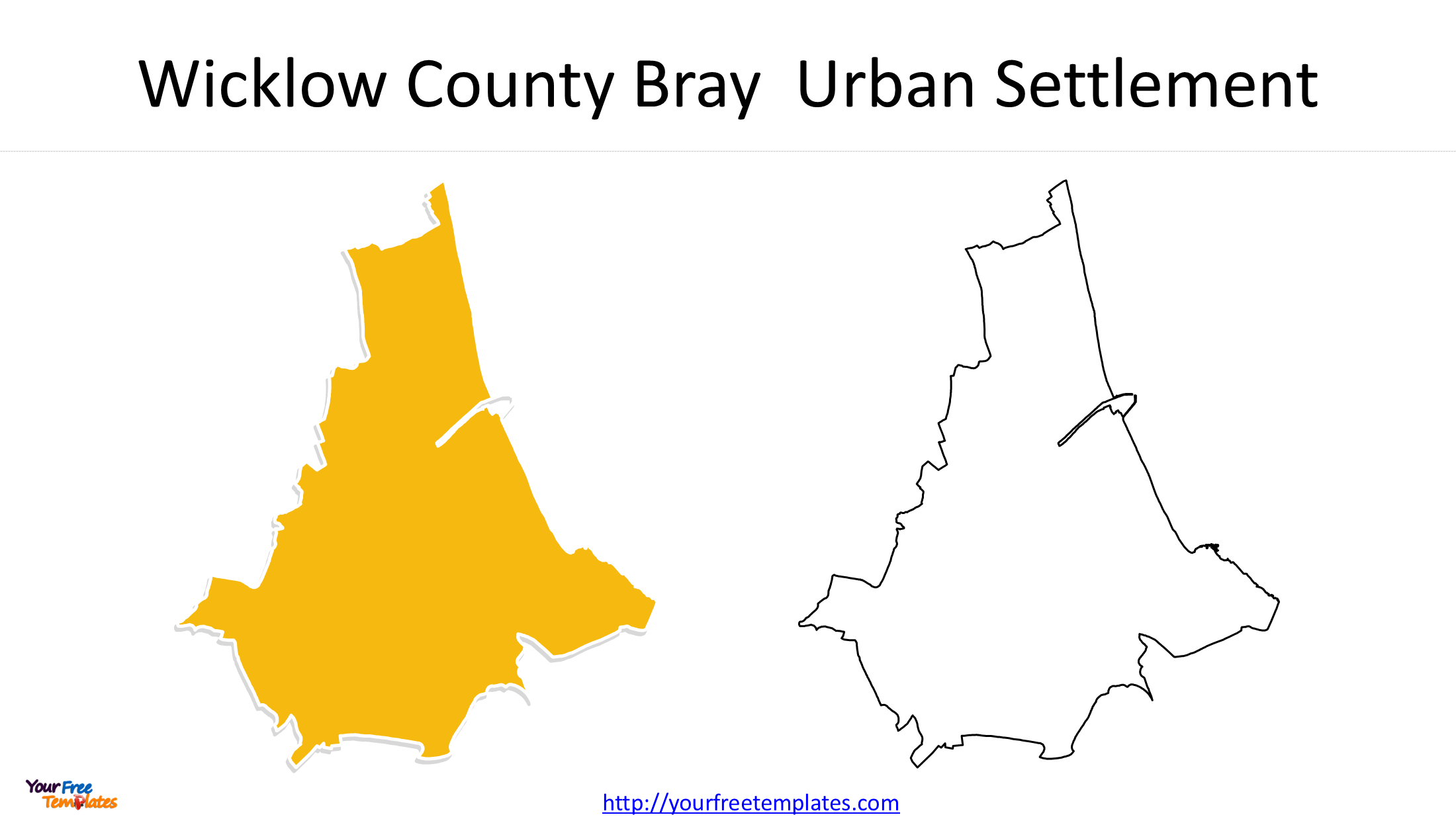
Bray – A Coastal Town in County Wicklow
Bray, with 33,512 residents, ranks fifth. Situated along Ireland’s east coast, south of Dublin, Bray is known for its coastal setting and strong connections with the Greater Dublin Area.
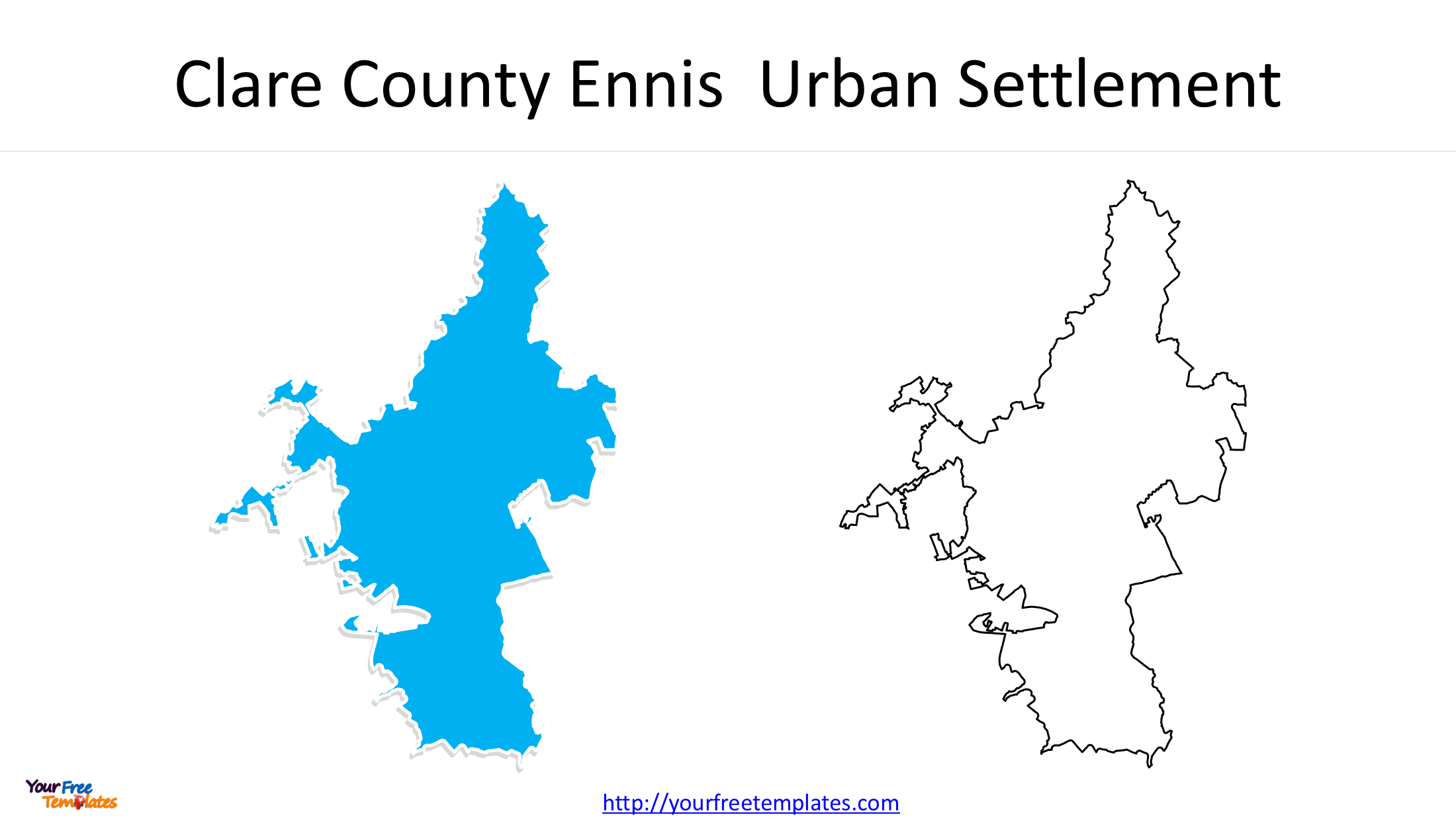
Ennis – A Major Town in County Clare
Ennis ranks sixth, with 27,923 residents. As the county town of Clare, it serves as an important commercial, administrative and cultural centre in the Mid-West region.
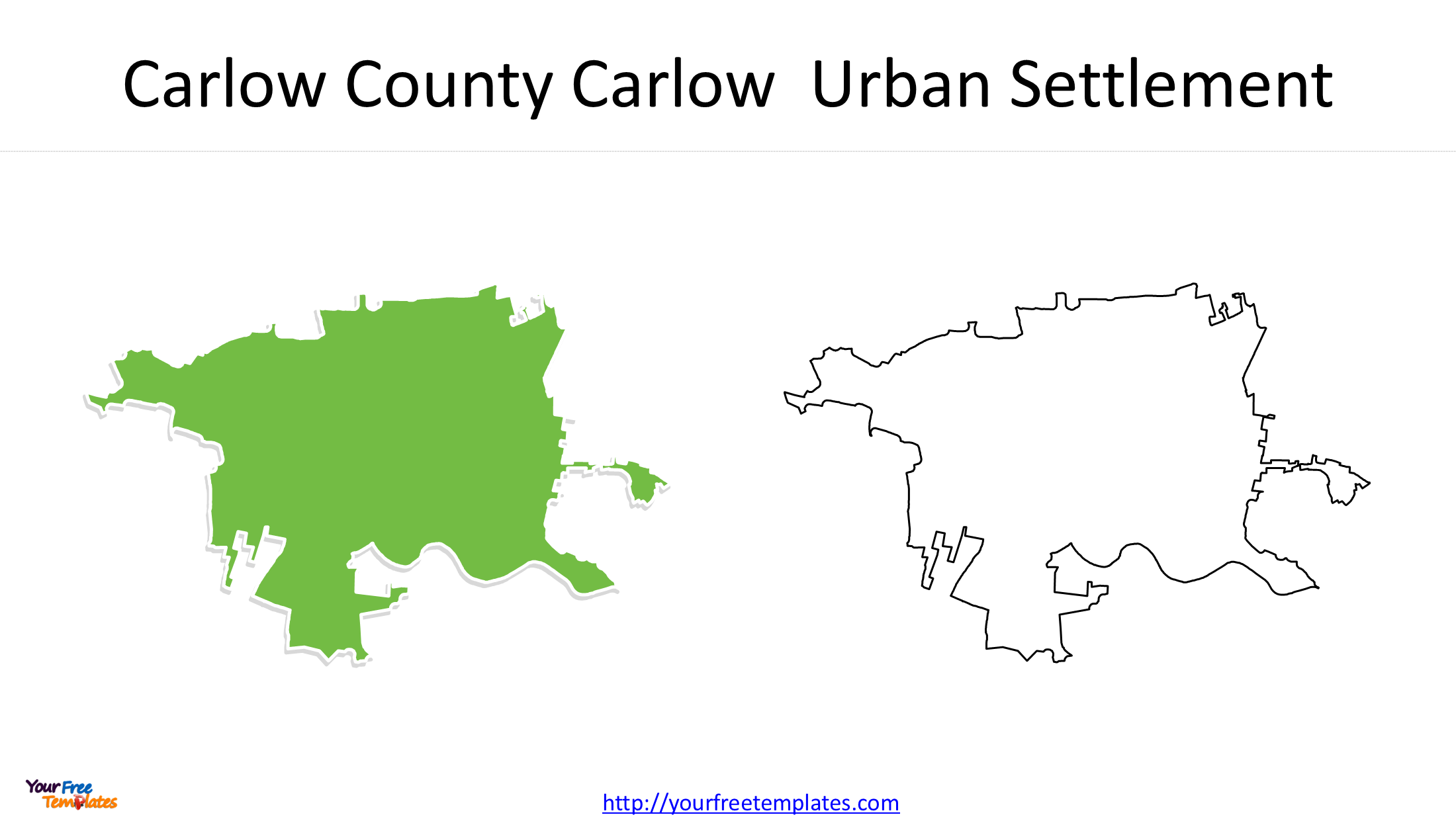
Carlow – An Important Regional Centre
Carlow has a population of 27,351, placing it seventh. Located in southeastern Ireland, it is an important educational, commercial and residential centre.
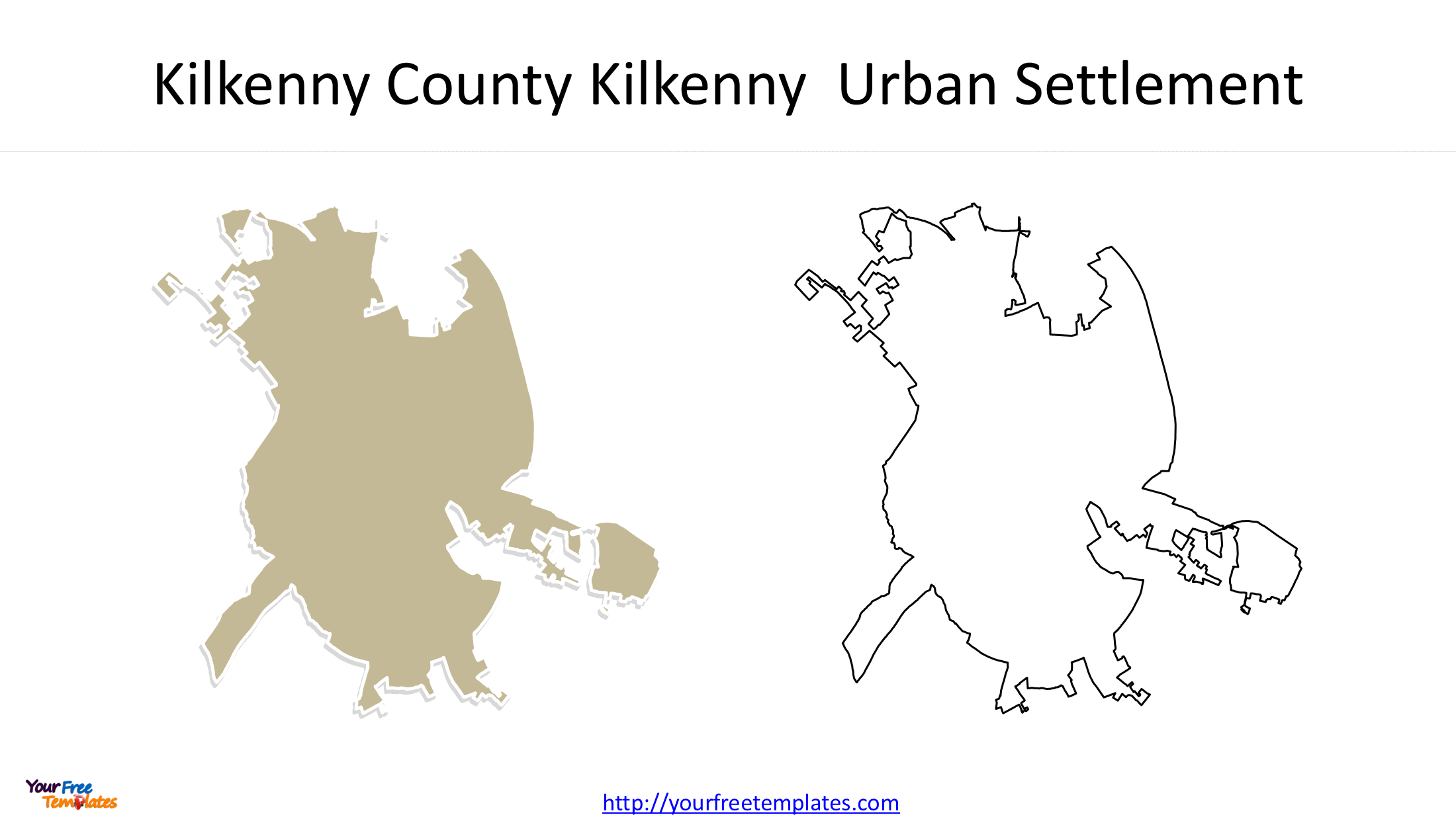
Kilkenny – A Historic Town in Southeastern Ireland
With 27,184 residents, Kilkenny ranks eighth. Famous for its medieval architecture, historic buildings and cultural attractions, it is also an important tourism destination.
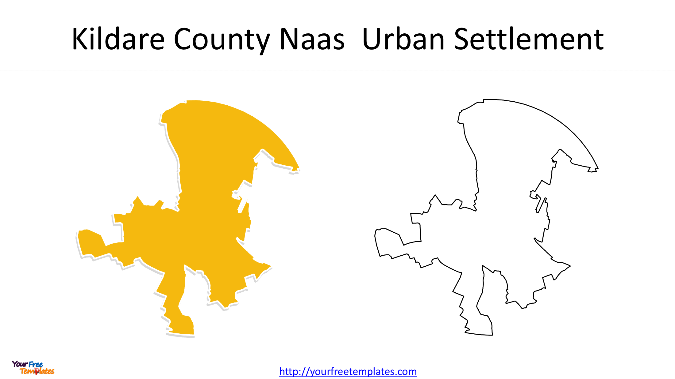
Naas – A Growing Town in County Kildare
Naas ranks ninth, with a population of 26,180. Located southwest of Dublin, it has developed into an important residential and commercial centre within the Greater Dublin region.
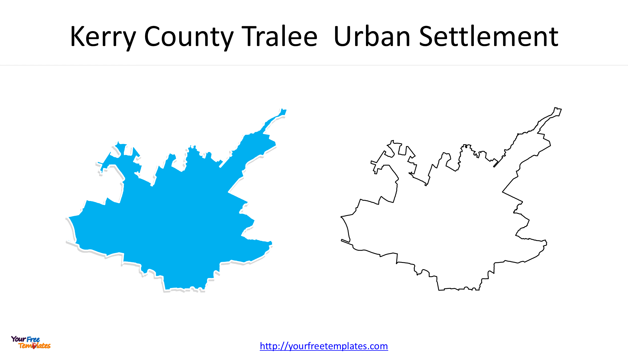
Tralee – A Major Town in County Kerry
Completing the top 10 is Tralee, with 26,079 residents. Located in southwestern Ireland, Tralee is an important administrative, commercial and tourism centre in County Kerry.
3. Ireland Towns Map – Geographical Distribution of Ireland’s Largest Towns
The locations of Ireland’s 10 largest towns reveal several interesting patterns in the country’s urban geography.
First, the northeastern and eastern regions contain several of the largest towns. Drogheda, Dundalk, Swords, Navan and Bray are all located within or close to the Greater Dublin and northeastern economic corridor.
Second, the ranking also highlights important regional centres outside eastern Ireland. Ennis serves County Clare, Carlow and Kilkenny are important towns in the southeast, while Tralee provides a major urban centre in County Kerry.
Third, the population figures show that Ireland’s largest towns have relatively varied population sizes. Drogheda has more than 44,000 residents, while Tralee has just over 26,000.
Mapping these settlements together provides a clearer understanding of how Ireland’s population is distributed beyond its five major cities.
4. Ireland Top 10 Towns Map – Downloadable PowerPoint Collection
To help users explore the geographical distribution and boundaries of Ireland’s largest towns, we have developed an Ireland Top 10 Towns Map PowerPoint collection.
The collection contains 11 slides, combining a national location map with individual urban settlement outline maps.
Slide 1: Ireland Map Showing the 10 Largest Towns
The first slide presents the locations of all 10 towns on an outline map of Ireland. It provides a convenient national overview of their geographical distribution.
Slides 2–11: Individual Town Urban Settlement Maps
The remaining 10 slides provide individual outline maps of:
- Drogheda
- Dundalk
- Swords
- Navan
- Bray
- Ennis
- Carlow
- Kilkenny
- Naas
- Tralee
Each individual map focuses on the geographical outline of its respective urban settlement, making it easier to examine the spatial extent of each town separately.
The combination of a national location map and 10 individual settlement maps makes this collection suitable for both overview presentations and more detailed geographical analysis.
5. Applications of Ireland Town Maps
An Ireland towns map can support a variety of educational, professional and research activities.
- Education and geography: Illustrate the distribution of Ireland’s largest towns and support lessons about population geography and urban development.
- Urban planning and research: Examine the geographical extent of built-up areas and compare the spatial patterns of different settlements.
- Business and market research: Present the locations of major population centres for regional market analysis and business development.
- Demographic analysis: Combine settlement maps with census population, housing, employment and other statistical information.
- Presentations and infographics: Create informative visual materials about Ireland’s towns, population distribution and regional development.
PowerPoint maps also provide a convenient way to incorporate geographical information into existing presentation projects.
6. Download the Ireland Top 10 Towns Map PowerPoint
Whether you are preparing a geography presentation, conducting population research or creating an infographic about Ireland’s urban development, this 11-slide collection provides a practical geographical resource.
It includes one national location map and 10 individual urban settlement outline maps covering Drogheda, Dundalk, Swords, Navan, Bray, Ennis, Carlow, Kilkenny, Naas and Tralee.
Explore the Ireland Top 10 Towns Map collection on YourFreeTemplates and use these maps to create informative presentations, educational materials and geographical visualizations.
Other maps of Ireland as below.
- Three Editable UK and Ireland Map Templates for Your Next Presentation
- Map of Ireland and Northern Ireland
- Republic of Ireland Map with 31 Local Authorities
- UK Northern Ireland Map with 11 Districts
Looking for Premium maps, please visit our affiliate site: https://editablemaps.com/ or https://ofomaps.com/
Size:620K
Type: PPTX
Ireland Urban Settlements Map download
Click the link to download it.
Aspect Ratio: Widescreen 16:9
Click the green button to download it.
Download the 16:9 Template