


The New Guinea map is useful for studying the geography of the southwestern Pacific, where Indonesia and Papua New Guinea share the world’s second-largest island. Whether you need a New Guinea island outline, a political map showing the international boundary, or a regional map of the surrounding countries, an editable map makes it easier to customize the geography for presentations, education, and research.
This New Guinea map in PowerPoint includes three slides: a regional map showing New Guinea and neighboring countries, a clean outline of New Guinea Island, and a political map dividing the island between Indonesia and Papua New Guinea.
1. Three New Guinea Map Slides in PowerPoint
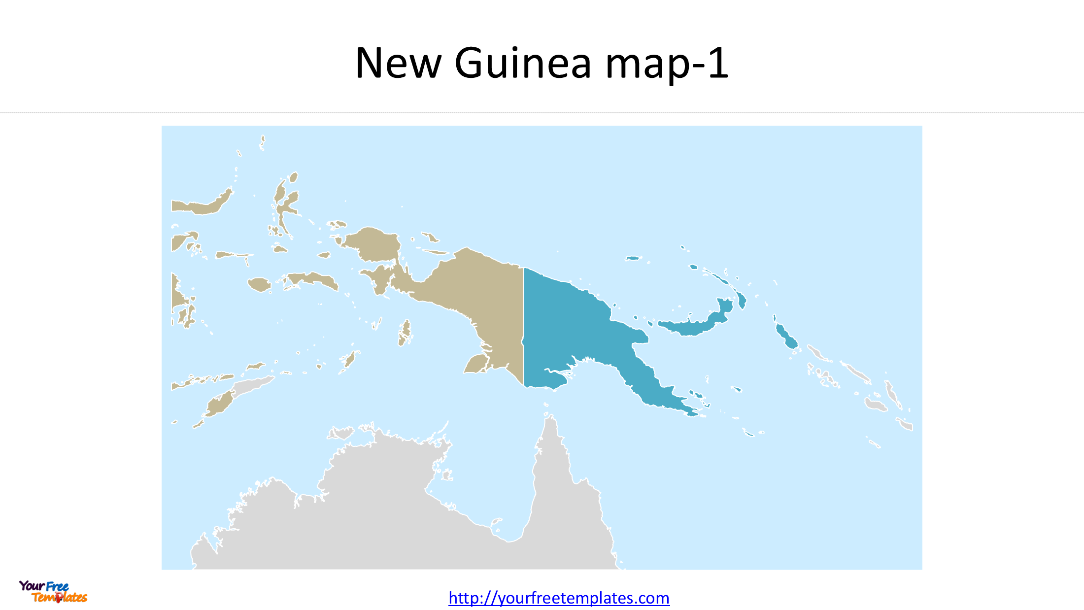
Slide 1: New Guinea Map with Neighboring Countries
The first slide places New Guinea in its regional geographic context. It shows the island and surrounding countries, including Indonesia, Papua New Guinea, Solomon Islands, Timor-Leste, and Australia.
This regional map is useful for presentations about the Pacific Islands, Southeast Asia, Oceania, international borders, and the geographic relationship between New Guinea and its neighbors.
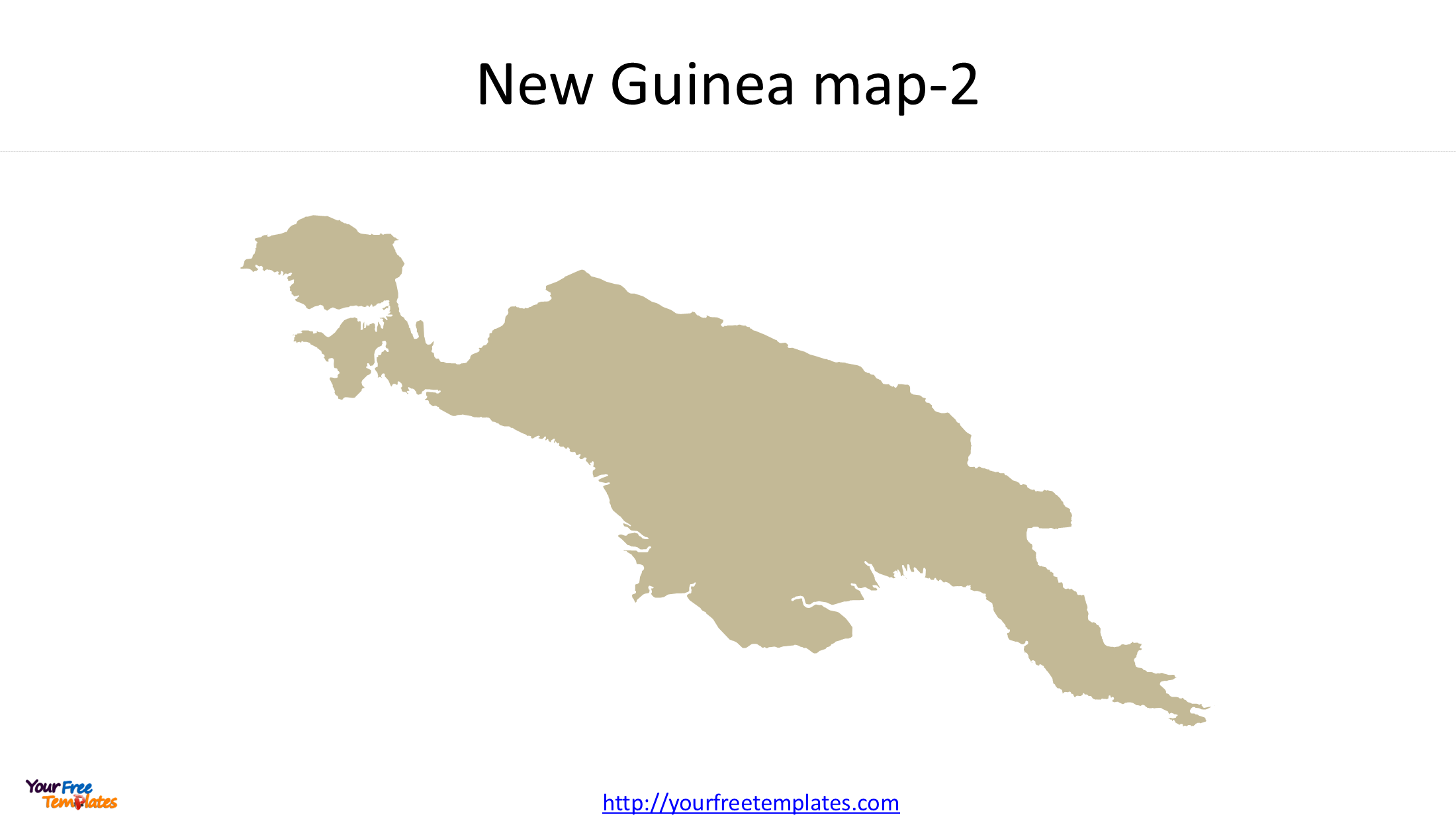
Slide 2: New Guinea Island Outline Map
The second slide provides a simple New Guinea island outline map, without the internal international boundary dividing the island.
The clean outline is suitable for geography lessons, map labeling, thematic presentations, and custom illustrations. You can use it as a base for highlighting the island, adding locations, or overlaying other geographic information.
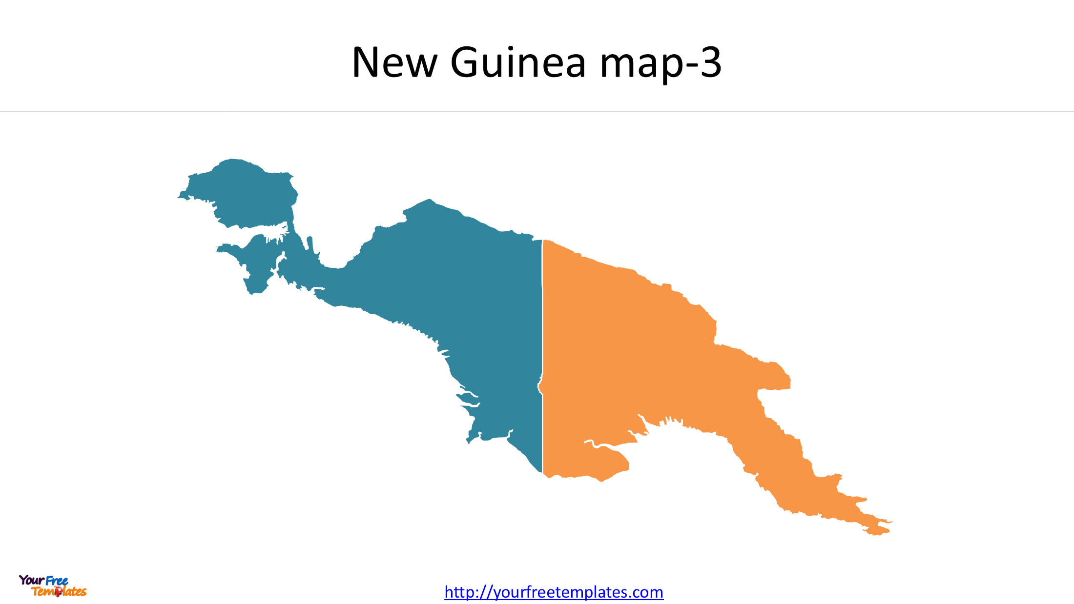
Slide 3: New Guinea Political Map — Indonesia and Papua New Guinea
The third slide shows the political division of New Guinea between Indonesia and Papua New Guinea.
The western part of the island belongs to Indonesia, while the eastern part forms the mainland territory of Papua New Guinea. The international boundary provides a useful reference for presentations about national territories, regional geography, and political boundaries.
This New Guinea political map is particularly useful when you need to distinguish the two countries while retaining the outline of the island as a whole.
2. New Guinea Geography: One Island, Two Countries
New Guinea lies north of Australia in the southwestern Pacific Ocean. It is commonly recognized as the world’s second-largest island, after Greenland.
The island is divided between two countries:
- Indonesia: The western part of New Guinea, including the Indonesian-administered Papua region.
- Papua New Guinea: The eastern part of the island, forming the mainland of the independent country of Papua New Guinea.
Although the two territories share the same island, they belong to different national political and administrative systems. This makes New Guinea an interesting case study for island geography, international boundaries, and regional political maps.
The nearby Solomon Islands, Timor-Leste, and Australia provide additional geographic context for understanding New Guinea’s position in the Pacific and the wider region.
3. GIS Data Source and Map Projection
Natural Earth GIS Data
The New Guinea map was developed using geographic data from Natural Earth, a public source of vector and raster map data designed for cartography at different scales.
Natural Earth provides country boundaries and other geographic layers that can be used to create regional maps, island outlines, and political maps. Its country datasets are available at 1:10 million, 1:50 million, and 1:110 million scales.
For this map, Natural Earth data provides the geographic foundation for displaying the island outline, neighboring countries, and the boundary between Indonesia and Papua New Guinea.
Data source: Natural Earth — Free Vector and Raster Map Data
Coordinate Reference System: WGS 84 / UTM Zone 54S
The map uses WGS 84 / UTM zone 54S (EPSG:32754) as its projected coordinate reference system.
UTM, or Universal Transverse Mercator, divides the world into six-degree longitude zones. Zone 54S uses a central meridian of 141°E and is intended for locations between 138°E and 144°E in the Southern Hemisphere.
This projection is suitable for geographic data within its area of use. However, New Guinea extends beyond the longitude range of a single UTM zone. Consequently, EPSG:32754 should be understood as the projection adopted for this map, rather than a projection that minimizes distortion equally across the entire island.
For regional analysis requiring consistent spatial accuracy across the whole island, a suitable regional projection may be preferable.
4. What Can You Use This New Guinea Map For?
The three-slide PowerPoint map provides different levels of geographic detail for different purposes:
- Education: Introduce New Guinea’s location, outline, and political division.
- Business presentations: Show Indonesia, Papua New Guinea, and their surrounding regional context.
- Geography and research: Illustrate island geography and international boundaries.
- Thematic mapping: Use the island outline as a base for adding data, labels, or highlighted areas.
- Custom presentations: Adapt the map to match your presentation’s colors, layout, and subject.
The regional map, island outline, and political map offer a practical starting point for creating customized New Guinea maps without rebuilding the geographic shapes from scratch.
5. Download the New Guinea Map in PowerPoint
This editable New Guinea PowerPoint map includes three slides covering the surrounding countries, the island outline, and the political division between Indonesia and Papua New Guinea.
Use the slides as a starting point for geography presentations, educational materials, research, or regional analysis. You can customize the map to suit your own presentation requirements.
Explore the three views to find the New Guinea map that best fits your project.
Looking for Premium maps, please visit our affiliate site: https://editablemaps.com/ or https://ofomaps.com/
Size:180K
Type: PPTX
New Guinea map download Template
Click the link to download it.
Aspect Ratio: Widescreen 16:9
Click the green button to download it.
Download the 16:9 Template