

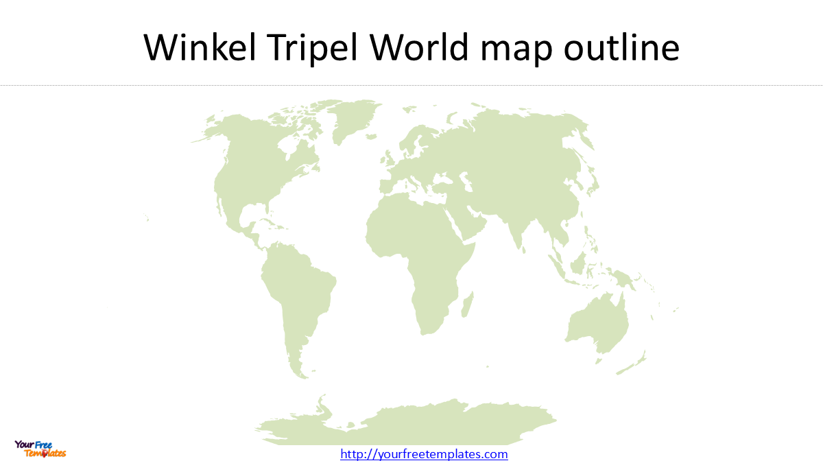
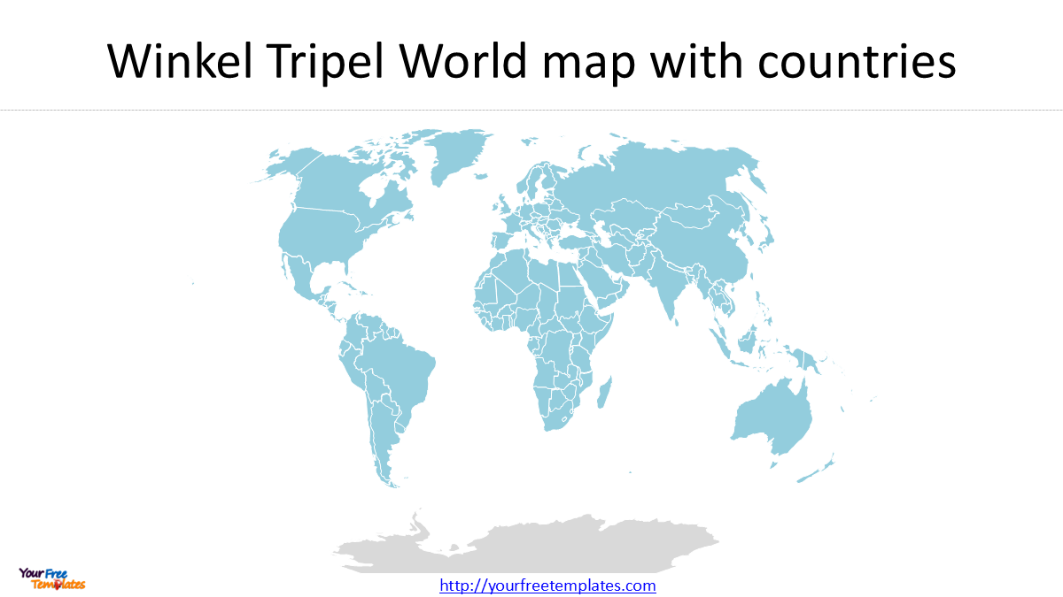
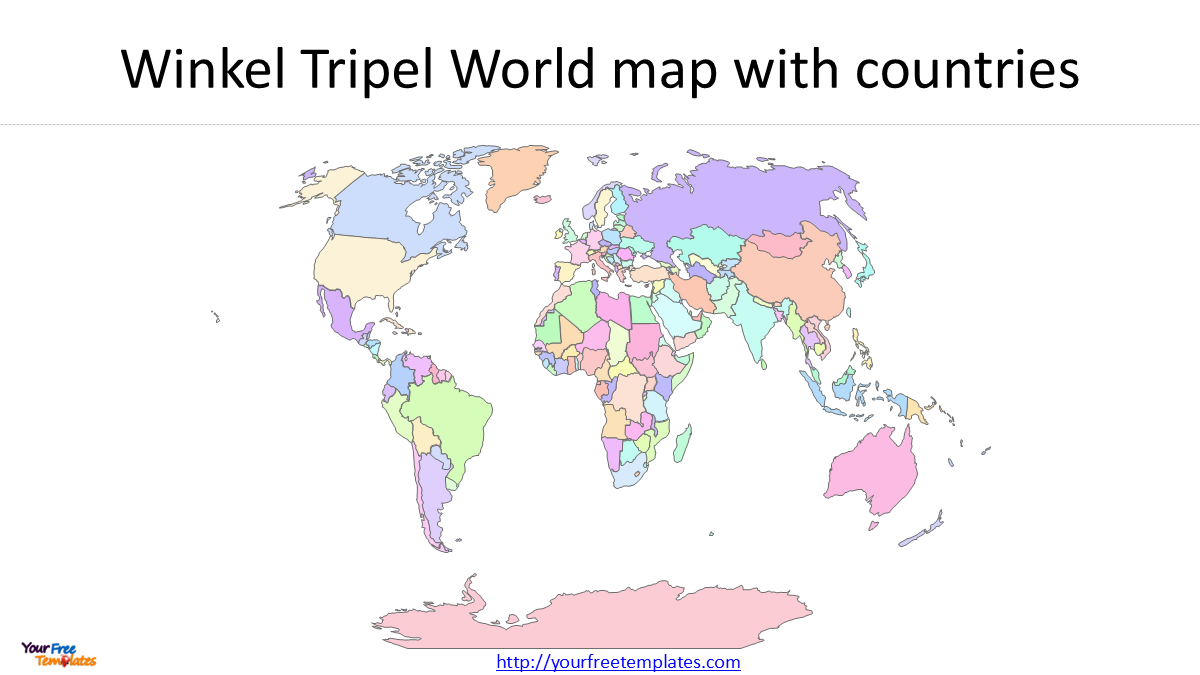
Winkel Tripel World Map Download provides a free editable PowerPoint world map based on the Winkel Tripel projection. The template includes three versions of the world map: an outline map, a map with countries in the same color, and a map with countries in different colors.
The Winkel Tripel projection is particularly suitable for general-purpose world maps because it provides a visual compromise between several types of geographic distortion.
You can check our World map in Equal Earth and Mercator projection below.
- Equal Earth World Map Download
- Robinson World Map Download
- 7 World Map Regions: Simple Guide to All 195 Countries (2025 Edition)
- World Map Outline in 7 Projections
- World maps Template with Six Continents
- World map with Continents
- World Map free powerpoint templates
Free Winkel Tripel World Map PowerPoint Template
This download includes three editable PowerPoint slides:
- Winkel Tripel World Map Outline – a simple world map showing country boundaries.
- Winkel Tripel World Map with Same-Color Countries – useful as a clean base map for presentations.
- Winkel Tripel World Map with Different-Color Countries – useful for highlighting countries or creating regional maps.
Because the map is provided as editable vector shapes, you can change country colors, add labels, highlight individual countries, or remove elements that are not needed.
What Is the Winkel Tripel Projection?
The Winkel Tripel projection is a compromise projection designed for world maps. It was introduced by German cartographer Oswald Winkel in 1921.
Unlike an equal-area projection such as Equal Earth, Winkel Tripel does not preserve area. It also does not preserve shape, distance, direction, or angles everywhere. Instead, it attempts to keep the overall distortion relatively balanced across the world map. ArcGIS describes it as a modified azimuthal projection formed by averaging the coordinates of the Aitoff and equidistant cylindrical projections.
This compromise is the main reason Winkel Tripel works well for a general-purpose world map rather than a map designed to preserve one specific geographic property.
Why Is Winkel Tripel Popular for World Maps?
One important reason for the popularity of Winkel Tripel is its use by the National Geographic Society.
National Geographic’s educational material states that Winkel Tripel replaced the Robinson projection on its signature world maps in 1995. ArcGIS documentation notes that a version using a standard parallel of 50°28′ has been used by National Geographic since 1998.
This gives Winkel Tripel a distinctive place in modern world cartography: it is recognizable not because it preserves a single geographic property, but because it provides a balanced appearance for displaying the entire world.
Winkel Tripel Projection in ArcGIS
For GIS users, Winkel Tripel is available in ArcGIS Desktop and ArcGIS Pro. ArcGIS documentation describes its main parameters as false easting, false northing, central meridian, and standard parallel. The projection is normally displayed with Greenwich as the central meridian.
For your map template, the commonly used ESRI identifier is:
ESRI:54042 – World Winkel Tripel
When working in ArcMap or ArcGIS Pro, you can search for Winkel Tripel in the coordinate system selector rather than treating 54042 as an EPSG code.
Natural Earth Country Boundaries
The country shapes used to create this world map can be based on Natural Earth data. Natural Earth provides free public-domain geographic data at 1:10m, 1:50m, and 1:110m scales. For a simple world presentation map, the 1:110m scale is particularly useful because its country boundaries are generalized and produce a cleaner map. 110m Cultural Vectors – Admin 0 Countries
This makes the combination of simplified Natural Earth country boundaries and the Winkel Tripel projection suitable for a presentation-oriented world map.
Customize the Winkel Tripel World Map
The PowerPoint map can be customized for different presentation purposes. You can:
- Change individual country colors
- Highlight selected countries
- Create regional or continental color schemes
- Add country names or other labels
- Remove countries or geographic features that are not required
- Add your own text, symbols, and annotations
The editable vector format is particularly useful when you need to adapt the world map to a presentation rather than simply insert a static image.
Download the Winkel Tripel World Map
If you need a Winkel Tripel world map for PowerPoint, this free template provides three editable versions that can be reused for presentations, education, reports, and other visual projects.
The main advantage of this map is its combination of a recognizable world-map projection and editable country shapes, allowing you to create your own presentation without rebuilding the world map from GIS data.
Looking for Premium maps, please visit our affiliate site: https://editablemaps.com/ or https://ofomaps.com/
Size:350K
Type: PPTX
Winkel Tripel World Map Download Template
Click the link to download it.
Aspect Ratio: Widescreen 16:9
Click the green button to download it.
Download the 16:9 Template