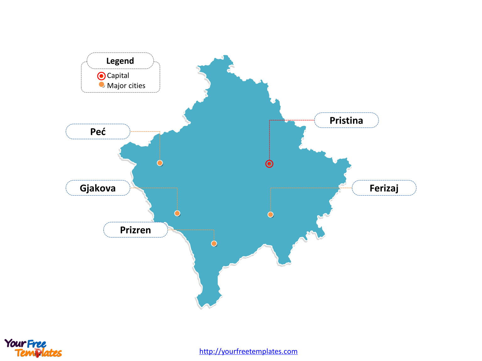
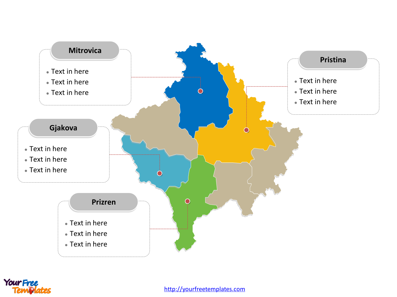
Kosovo Country political map with seven districts, labeling major districts, Pristina, Prizren, Mitrovica, and Gjakova. Kosovo Outline map labeled with capital and major cities, Pristina, Prizren, Ferizaj, Peć, and Gjakova.
The Map of Kosovo Template includes two slides.
Slide 1, Country outline map labeled with capital and major cities.
Kosovo is a disputed territory and partially recognized state in Southeastern Europe that declared independence from Serbia in February 2008 as the Republic of Kosovo. Kosovo is landlocked in the central Balkan Peninsula. With its strategic position in the Balkans, it serves as an important link in the connection between central and south Europe, the Adriatic Sea, and Black Sea. Pristina is the capital and largest city of Kosovo, other major cities including Prizren, Ferizaj, Peć, and Gjakova.

Slide 2, Country political map labeled with major districts.
Kosovo is a country divided into seven districts; they are Peć, Mitrovica, Pristina, Gjilan, Gjakova, Prizren, and Ferizaj. Every individual political subdivision is an editable shape.

Size:113K
Type: PPTX
Aspect Ratio: Standard 4:3
Click the blue button to download it.
Download the 4:3 Template
Aspect Ratio: Widescreen 16:9
Click the green button to download it.
Download the 16:9 Template


