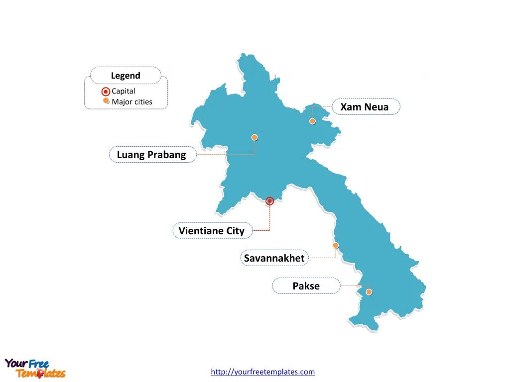
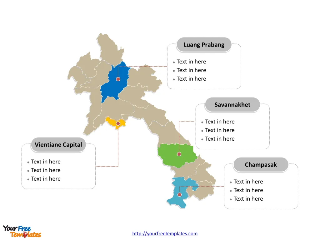
Laos Map Template includes two slides. Laos map of political administrative divisions with 17 Provinces, labeling major Provinces, Vientiane Capital, Savannakhet, Champasak, Luang Prabang. Laos Outline map labeled with capital and major cities, Vientiane City, Pakse, Savannakhet, Luang Prabang, and Xam Neua.
Location of Laos Laos, officially known as the Lao People’s Democratic Republic, is a landlocked country located in the heart of the Indochinese peninsula in Southeast Asia. It is bordered by Myanmar and China to the northwest, Vietnam to the east, Cambodia to the southeast, and Thailand to the west.
Population of Laos As of my last knowledge update in September 2021, Laos had a population of approximately 7.3 million people. The majority of the population resides in rural areas, and the country is known for its diverse ethnic groups and languages, with the Lao Loum being the largest ethnic group.
Economy of Laos Laos has a developing economy with a focus on agriculture, particularly rice cultivation, which is a staple of the Laotian diet. Additionally, the country has been working on developing its hydroelectric power industry to become the “Battery of Southeast Asia”. The tourism sector has also been growing steadily, contributing to the national economy. Moreover, Laos has been strategically positioning itself to benefit from regional economic integration through initiatives such as the ASEAN Economic Community.
Slide 1, Laos map labeled with capital and major cities.
Vientiane is the capital and largest city of Laos, other major important cities including Pakse, Savannakhet, Luang Prabang, and Xam Neua.

Slide 2, Laos map labeled with major divisions.
Laos is a country divided into 17 provinces; they are Attapeu, Bokeo, Bolikhamsai, Champasak, Hua Phan, Khammouane, Luang Namtha, Luang Prabang, Oudomxay, Phongsali, Sayabouly, Salavan, Savannakhet, Sekong, Vientiane Capital, Vientiane Province, and Xieng Khouang. Every individual political subdivision is an editable shape.

Looking for Premium maps, please visit our affiliate site: https://editablemaps.com/ or https://ofomaps.com/
Size:127K
Type: PPTX
Aspect Ratio: Standard 4:3
Click the blue button to download it.
Download the 4:3 Template
Aspect Ratio: Widescreen 16:9
Click the green button to download it.
Download the 16:9 Template


