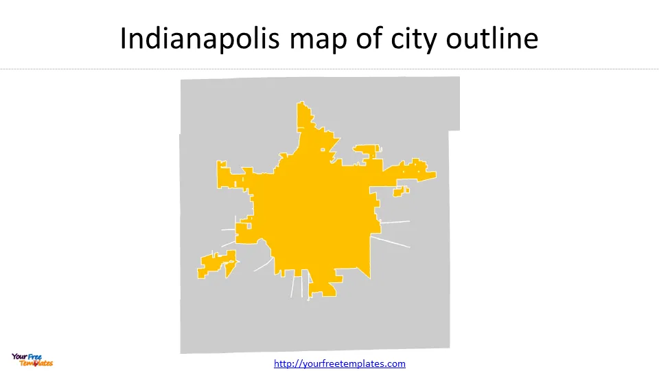
The Indianapolis map template in PowerPoint format includes 6 slides. Firstly, we have the Indianapolis map template for the city outline. Secondly, we present the nine Township Boundaries and Township Board Districts of Marion County. Thirdly the Marion County map has 11 School Corporations. In the end it is Marion County map template for State House Districts and State Senate Districts templates. As the same diagram PowerPoint template series, you can also find our Carbon footprint, Carbon neutral, Data Mining, Machine Learning, cloud computing, Artificial Intelligence and BlockChain PowerPoint templates.
Slide 1, Indianapolis map with city outline.
Indianapolis, the capital city of Indiana, was founded in 1820 and officially became the state capital in 1825. The city’s location in central Indiana, along with its access to the White River and railroads, played a significant role in its development as a center for agriculture, manufacturing, and transportation. The area where Indianapolis is situated was originally inhabited by the Lenape tribe. Over time, the city experienced growth due to the availability of federal lands, attracting European and American settlers as well as immigrants from Ireland and Germany. Today, Indianapolis remains the seat of state government and is a regional hub for banking and insurance.
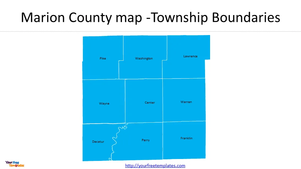
Slide 2, Marion County Indiana township map
There are nine townships in Marion County, which are Pike, Washington, Lawrence townships in the north: Wayne, Center, and Warren in the middle, Decatur, Perry, and Franklin townships in the south.
The nine civil townships function independently from the city-county government (Indianapolis and Marion County) under Indiana Code. Each township consists of an elected township trustee, whose duties are adoption of the annual budget, serving as a board of finance, and approving township contracts.
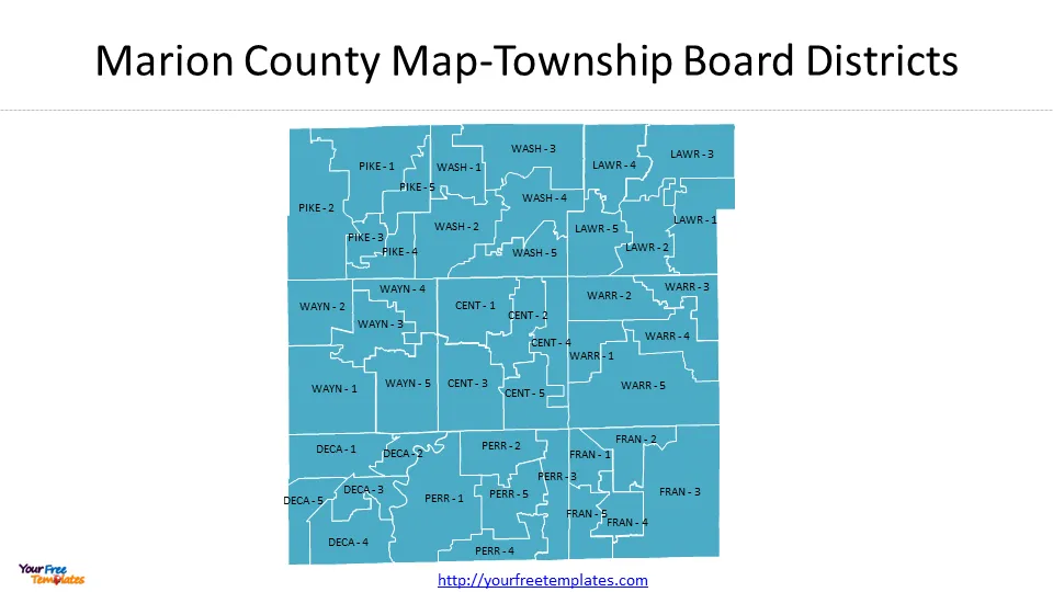
Slide 3, Indianapolis map with Board Districts
The nine civil townships in Marion County are further divided into Township Board Districts. There are five Board Districts for each Township, so there are 45 Board Districts in Marion County.
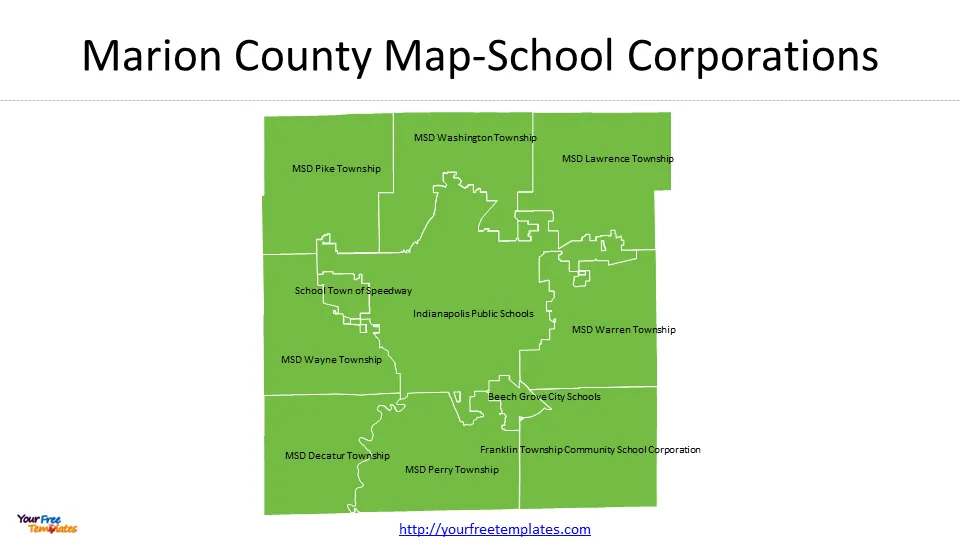
Slide 4, Indianapolis map with School Corporations
There are 11 School Corporations in Marion County, Indiana. They are School Town of Speedway, MSD Pike Township, MSD Washington Township, MSD Lawrence Township, MSD Warren Township, MSD Decatur Township, MSD Wayne Township, Beech Grove City Schools, Franklin Township Community School Corporation, MSD Perry Township, and Indianapolis Public Schools.
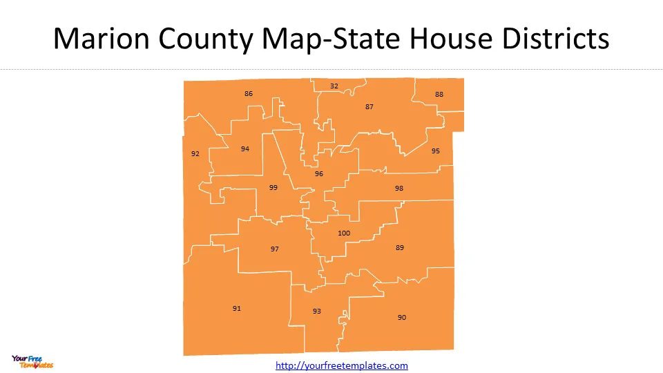
Slide 5, Indianapolis map with State House Districts
There are 16 State House Districts in Marion County, Indiana. According to Ballotpedia, The Indiana House of Representatives consists of 100 members elected to two-year terms without term limits. As of the 2020 Census, Indiana state representatives represented an average of 67,903 residents.
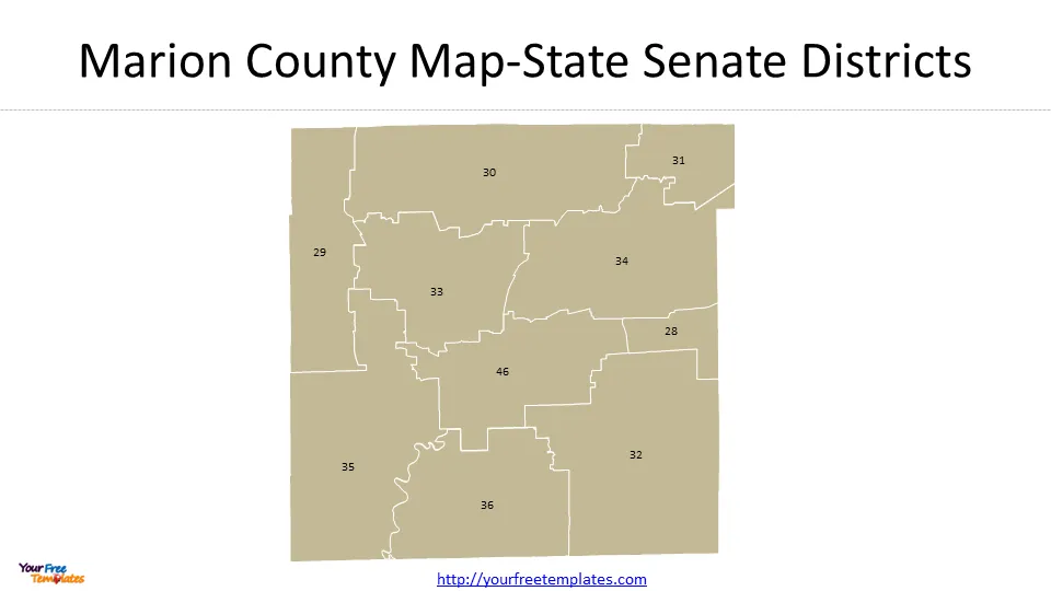
Slide 6, Indianapolis map with State Senate Districts
There are 10 State Senate Districts in Marion County, Indiana. According to Ballotpedia, The Indiana State Senate consists of 50 members elected to four-year terms without term limits. As of the 2020 Census, Indiana state senators represented an average of 135,806 residents.
For other interesting maps, pls visit our ofomaps.com
Size:381K
Type: PPTX
Aspect Ratio: Standard 4:3
Click the blue button to download the maps.
Download the 4:3 Template
Aspect Ratio: Widescreen 16:9
Click the green button to download the maps.
Download the 16:9 Template


