The 9 Australia map states and territories PowerPoint deck includes 10 maps, with one slide of Australia map with states and Territories; the remaining slides are for the 6 States and three Territories.
Our Top ten most populated city charts include ten slides below.
- The most populated city in the world 1-10
- The most populated city in the world 11-20
- The most populated city in the world 21-30
- Top ten most populated us city
- Top 10 most populated city in Canada
- Top 10 most populated UK city
Slide 1, Blank map of Australia States and territories
Australia map is composing of 6 States and 3 Territories. If you want to use shapes of individual State, please select from the State slide instead of picking it from the whole Australia slide and amplifying it, resulting in outlines not in line with professional style.
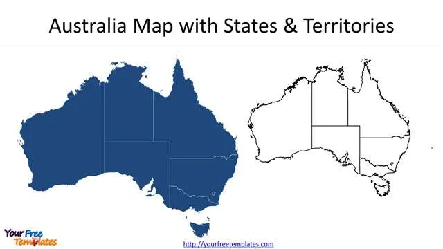
Slide 2~7, 6 State map of Australia.
There are 6 Australia States including New South Wales, Queensland, South Australia, Tasmania, Victoria, and Western Australia.
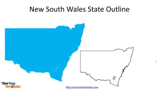
- New South Wales State is the largest state in Australia with home to Sydney city, bounding by the Pacific Ocean to the east and the states of Victoria to the south, South Australia to the west, and Queensland to the north.
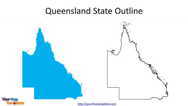
- Queensland State is the northeast State of Australia, with the Pacific Ocean, New South Wales, South Australia, and the Northern Territory as neighbors. The largest city in Queensland is Brisbane.
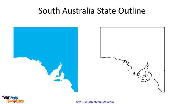
- Adelaide is the capital of South Australia, which has land border with the other four states and one territory, New South Wales, Queensland, Victoria, Western Australia and Northern Territory.
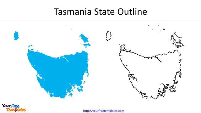
- Tasmania is an island state of Australia. It is a mountainous state of Australia, its tallest mountain is Mount Ossa.
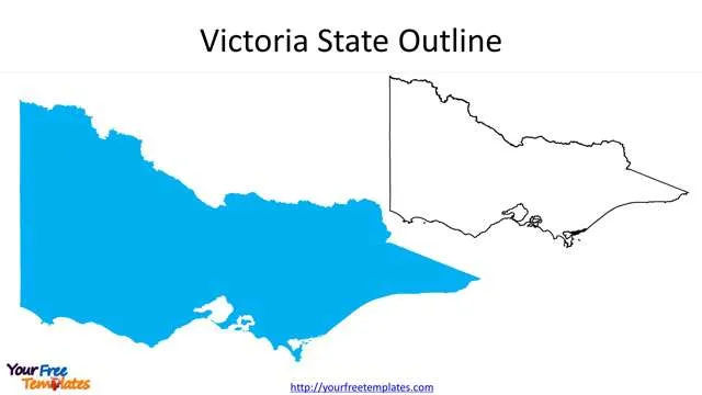
- Victoria is located in the southeast of Australia, bordering with New South Wales and South Australia. Melbourne is the capital city of the state of Victoria.
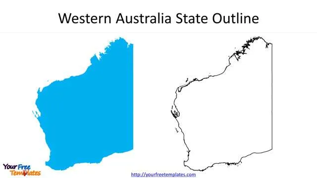
- Western Australia is occupying the western part of the country with Northern Territory and South Australia as neighbors. Perth is the capital and the largest city of this state.
Slide 8~10, three Territories of Australia
The 3 Australian territories are Australian Capital Territory, Jervis Bay Territory (ACT*), Northern Territory.
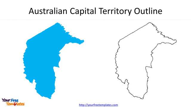
- The Australian Capital Territory – home to Australia’s capital city of Canberra, which is located in the southeastern of Australia and an enclave of New South Wales State.
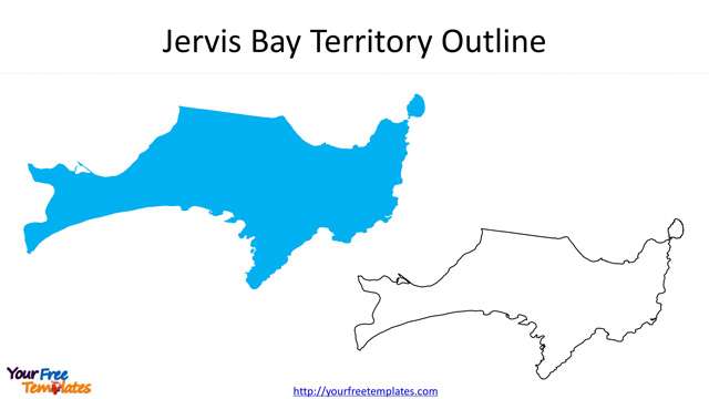
- Jervis Bay Territory is totally surrounded by the state of New South Wales, giving access to the Sea for the ACT.
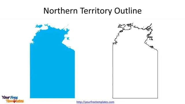
- Northern Territory is the central and northern part of Australia with Queensland and South Australia as neighbors.
For other interesting maps, pls visit our ofomaps.com
Size:1320K
Type: PPTX
[sociallocker]Aspect Ratio: Standard 4:3
Click the blue button to download it.
Download the 4:3 Template
Aspect Ratio: Widescreen 16:9
Click the green button to download it.
Download the 16:9 Template[/sociallocker]


