The Australia Melbourne suburb map template in PowerPoint format includes 3 slides, covering city municipal boundary, 17 postcode, and 14 suburbs. You can also find our Queensland map of Australia, NSW map of Australia, Free US Powerpoint Map, Virtual Reality, Carbon neutral, Circular economy, Carbon footprint, Data Mining, Machine Learning, cloud computing, Artificial Intelligence and BlockChain templates.
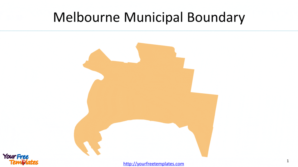
Slide 1, Melbourne Municipal Boundary
Melbourne is the capital city of Victoria state of Australia, and it has been the second-largest city of Australia. The population is reported to be 180 thousand in the area of 37.7 km2

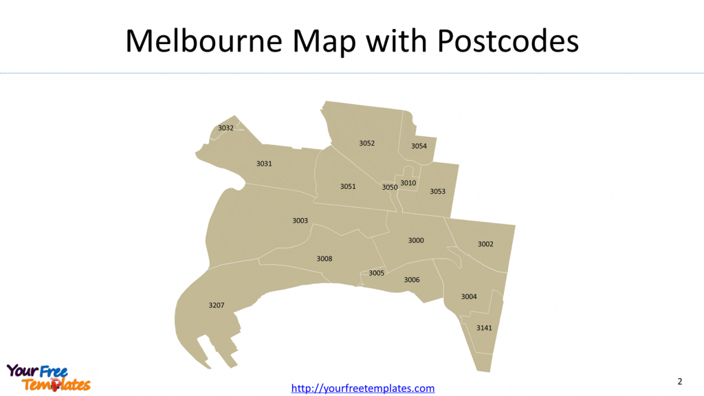
Slide 2, Melbourne postcode map
There are 17 postcodes for the city of Melbourne municipality, which are 3000, 3002, 3003, 3004, 3005, 3006, 3008, 3010, 3031, 3032, 3050, 3051, 3052, 3053, 3054, 3141, and 3207. With Business services as the biggest industry, it has hired about 89,000 people for this professional service.

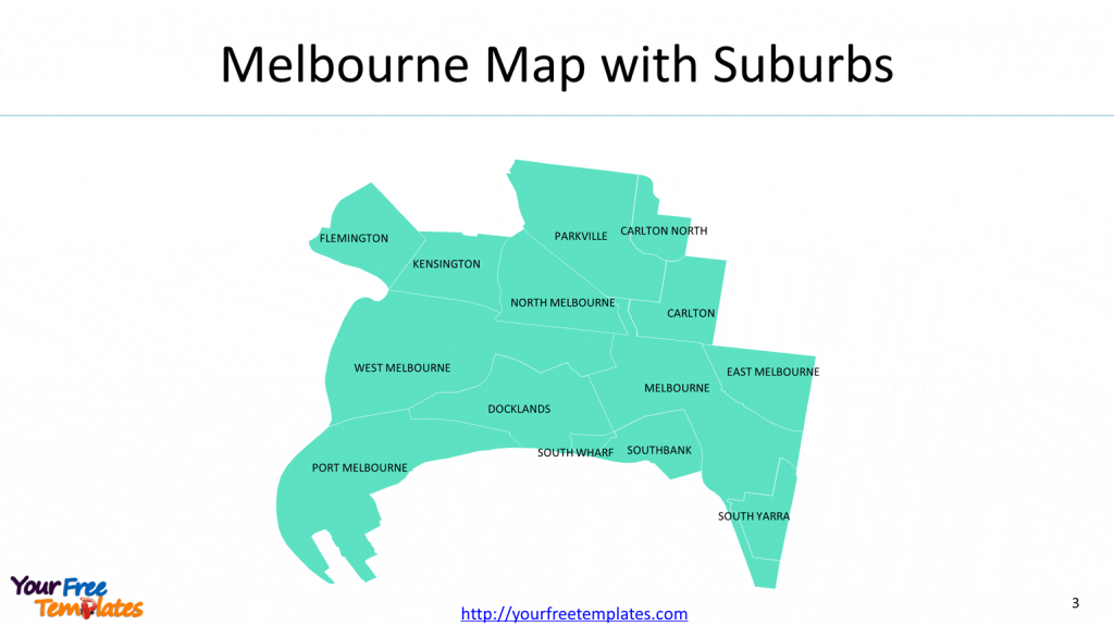
Slide 3, Melbourne suburb map
Our slide consists of 14 suburbs, i.e. Carlton, Carlton North, Docklands, East Melbourne, Flemington, Kensington, Melbourne, North Melbourne, Parkville, Port Melbourne, South Wharf, South Yarra, Southbank, and West Melbourne. The most populated suburbs are as follow,
- Melbourne (including CBD): 53,180 (2020)
- North and West Melbourne: 27,740 (2020)
- Southbank: 27,444 (2020)

For detailed information pls refer to city of Melbourne.
Size:122K
Type: PPTX
[sociallocker]Aspect Ratio: Standard 4:3
Click the blue button to download it.
Download the 4:3 Template
Aspect Ratio: Widescreen 16:9
Click the green button to download it.
Download the 16:9 Template[/sociallocker]


