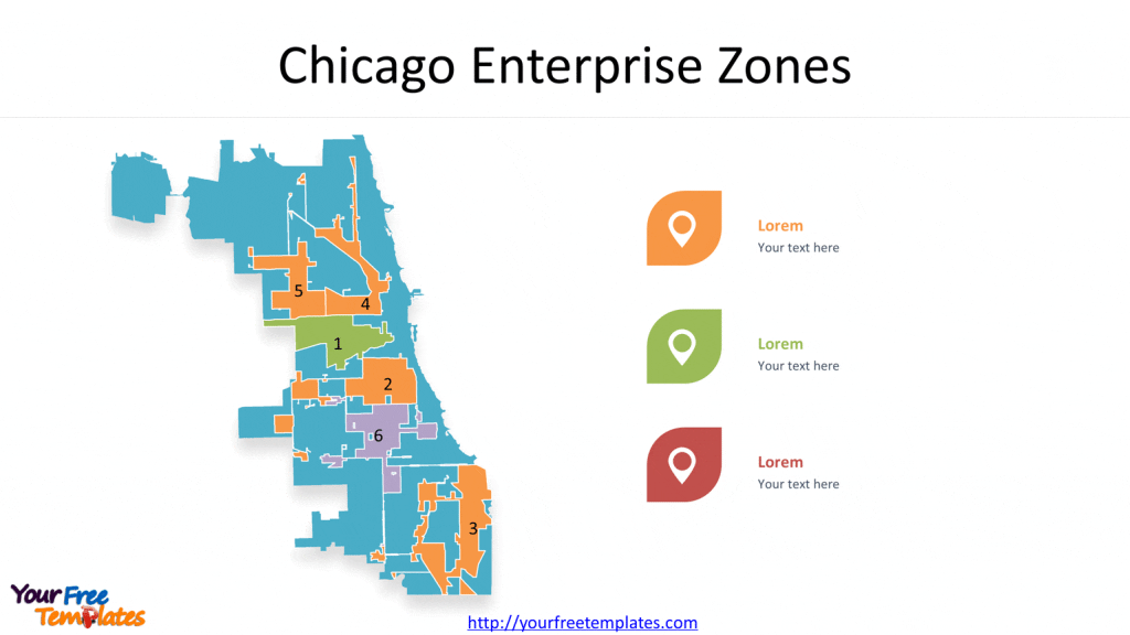
Slide 4, Chicago map with 6 Enterprise Zones
The City of Chicago has six Enterprise Zones. The primary purpose of an Enterprise Zone Program is to “stimulate economic growth and neighborhood revitalization” by offering state and local tax incentives to companies expanding or relocating within depressed areas as the City Planning and Development described.

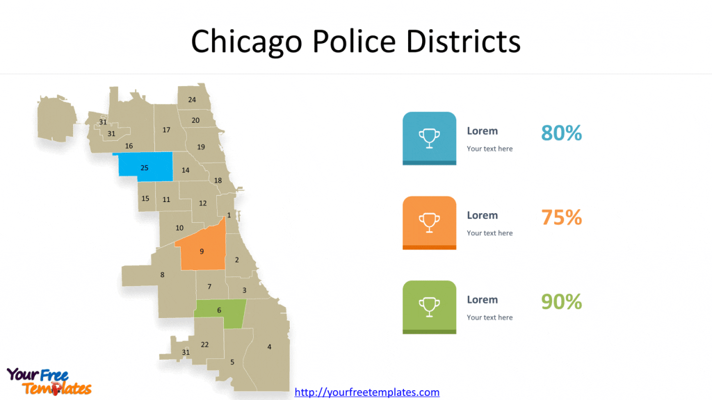
Slide 5, Chicago map with 22 Police Districts
There are 22 Police Districts in Chicago, they are 1.Central, 2.Wentworth, 3.Grand Crossing, 4.South Chicago, 5.Calumet, 6.Gresham, 7.Englewood, 8.Chicago Lawn, 9.Deering, 10.Ogden, 11.Harrison, 12.Near West, 14.Shakespeare, 15.Austin, 16.Jefferson Park, 17.Albany Park, 18.Near North, 19.Town Hall, 20.Lincoln, 22.Morgan Park, 24.Rogers Park, and 25.Grand Central.

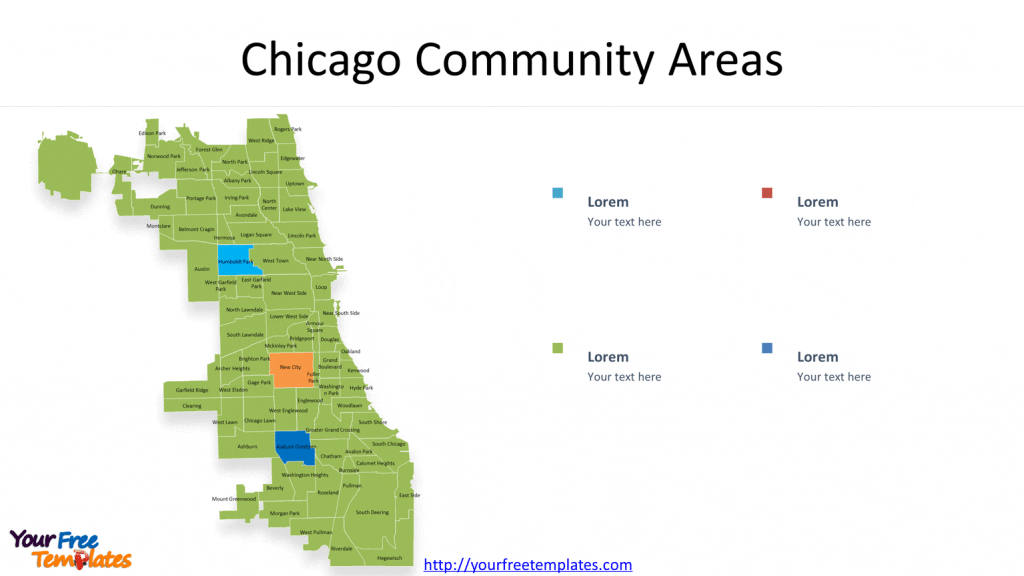
Slide 6, Chicago Community map with 77 Community Plan Areas
Chicago is divided into seventy-seven Community Areas. These Community Area boundaries do not change over time (as political county boundaries do), so that information about the city Community Areas can be consistently collected and analyzed over long periods of time.

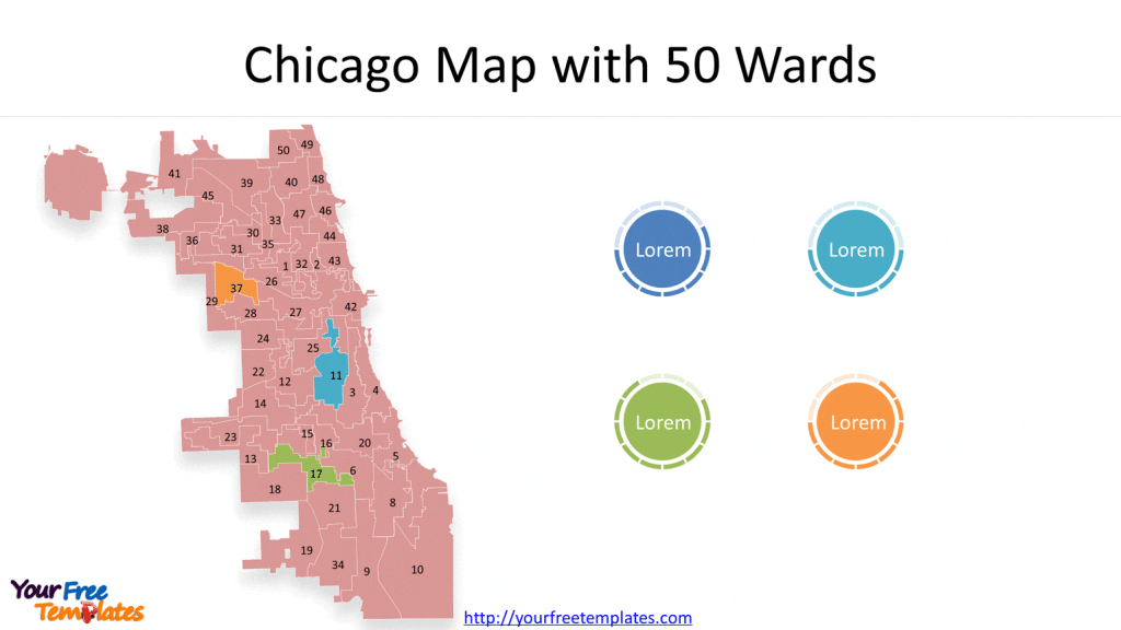
Slide 7, Chicago ward map with 50 wards
The City of Chicago is divided into fifty legislative districts or wards. Each district is represented by an alderman who is elected by their constituency to serve a four year term. In addition to representing the interests of their ward residents, together the fifty aldermen comprise the Chicago City Council, which serves as the legislative branch of government of the City of Chicago.

For detailed information pls refer to Chicago city government.
Size:1012K
Type: PPTX
[sociallocker]Aspect Ratio: Standard 4:3
Click the blue button to download it.
Download the 4:3 Template
Aspect Ratio: Widescreen 16:9
Click the green button to download it.
Download the 16:9 Template[/sociallocker]


