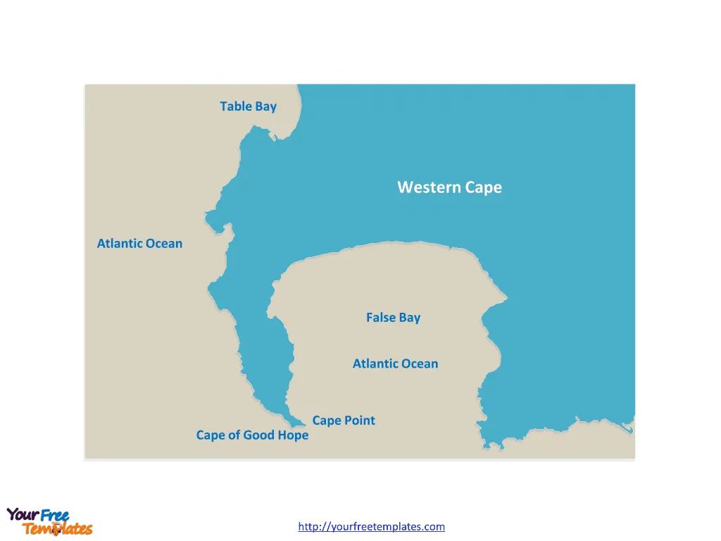
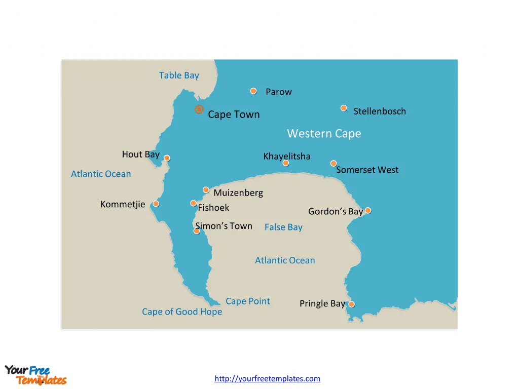
The Cape of Good Hope map includes two slides. Cape of Good Hope map showing the location of Cape of Good Hope, the Cape Peninsula and the Cape Point, Cape of Good Hope map labeled with nine cities, they are Simon’s Town, Fishoek, Muizenberg, Khayelitsha, Somerset West, Stellenbosch, Gordon’s Bay, Kommetjie, and Hout Bay.
Cape of Good Hope
The Cape of Good Hope is a rocky headland on the Atlantic coast of the Cape Peninsula in South Africa. This iconic landmark is located at the southern tip of the Cape Peninsula, approximately 70 kilometers southeast of Cape Town. It is part of the Table Mountain National Park and is a significant tourist attraction due to its stunning natural beauty and historical importance as a maritime landmark.
Population
The Cape of Good Hope is not inhabited by a permanent population. However, the surrounding areas, including Cape Town and its suburbs, are home to a diverse population representing various ethnic groups and cultures.
Slide 1, Blank Cape of Good Hope map.
Economy
The economy of the Cape of Good Hope region, centered around Cape Town, is diverse and robust. Major economic activities include:
- Tourism: The area is a major tourist destination, attracting visitors from around the world to its beautiful beaches, natural reserves, and historical sites.
- Trade and Commerce: Cape Town serves as a major economic hub, with a bustling port and a strong presence of industries such as finance, manufacturing, and technology.
- Agriculture: The region’s fertile lands support agriculture, including wine production in the nearby Cape Winelands.
The Cape of Good Hope’s strategic location has historically made it a vital stop for ships traveling between Europe and Asia. Today, it continues to play a key role in South Africa’s economy, contributing to the country’s trade, tourism, and overall economic development.

The Red Sea attacks on ships have led to a significant impact on the Cape of Good Hope. The disruptions in global maritime trade flows have compelled ships to reroute around Africa’s Cape of Good Hope, resulting in longer sailing distances and increased operational costs. The surge in shipping traffic has caused congestion at African ports, creating tension and longer journeys due to port congestion.
Despite the challenges, the increased traffic presents opportunities for African ports to capitalize on the rerouting. However, it also underscores the need for African countries and ports to enhance trade facilitation measures, improve port operations, and strengthen coordination among border agencies to manage the increased demand for port services. These disruptions highlight the importance of investing in digital trade facilitation, infrastructure, and human resources to effectively address the impact of the Red Sea attacks on shipping routes around the Cape of Good Hope
Slide 2, Cape of Good Hope map labeled with cities.
The Nine Cities on Cape of Good Hope Map
The Cape of Good Hope, located in South Africa, is home to a cluster of diverse and vibrant cities that offer a rich tapestry of culture, history, and natural beauty. Each city has its own unique charm and attractions, making the region a must-visit for travelers seeking an authentic South African experience.
- Simon’s Town
Simon’s Town, with its picturesque harbor and naval heritage, is a charming coastal town known for its historical buildings, museums, and penguin colonies at Boulders Beach.
- Fish Hoek
Fish Hoek is a laid-back beachside town popular for its family-friendly beaches, vibrant community atmosphere, and excellent opportunities for snorkeling and diving.

- Muizenberg
Muizenberg is renowned for its colorful beach huts, lively beach culture, and as a hotspot for surfing, kiteboarding, and other water sports.
- Khayelitsha
As one of the largest townships in South Africa, Khayelitsha offers a glimpse into vibrant township life, with a burgeoning arts scene, bustling markets, and community initiatives.
- Somerset West
Surrounded by the Helderberg Mountains, Somerset West is known for its wine estates, golf courses, and the historic Vergelegen Estate.
- Stellenbosch
Famed for its oak-lined streets and Cape Dutch architecture, Stellenbosch is at the heart of the Cape Winelands, offering wine tastings, gourmet dining, and cultural experiences.
- Gordon’s Bay
Gordon’s Bay is a picturesque coastal town with beautiful beaches, a scenic harbor, and the iconic Clarence Drive, offering breathtaking ocean views.
- Kommetjie
As a laid-back surfing and fishing village, Kommetjie is a tranquil retreat known for its unspoiled beaches, nature reserves, and the iconic Slangkop Lighthouse.
- Hout Bay
Nestled between mountains and the ocean, Hout Bay is a thriving fishing village with a bustling harbor, vibrant markets, and opportunities for scenic drives and boat trips.
Looking for Premium maps, please visit our affiliate site: https://editablemaps.com/ or https://ofomaps.com/
Size:82K
Type: PPTX
Aspect Ratio: Standard 4:3
Click the blue button to download it.
Download the 4:3 Template
Aspect Ratio: Widescreen 16:9
Click the green button to download it.
Download the 16:9 Template


