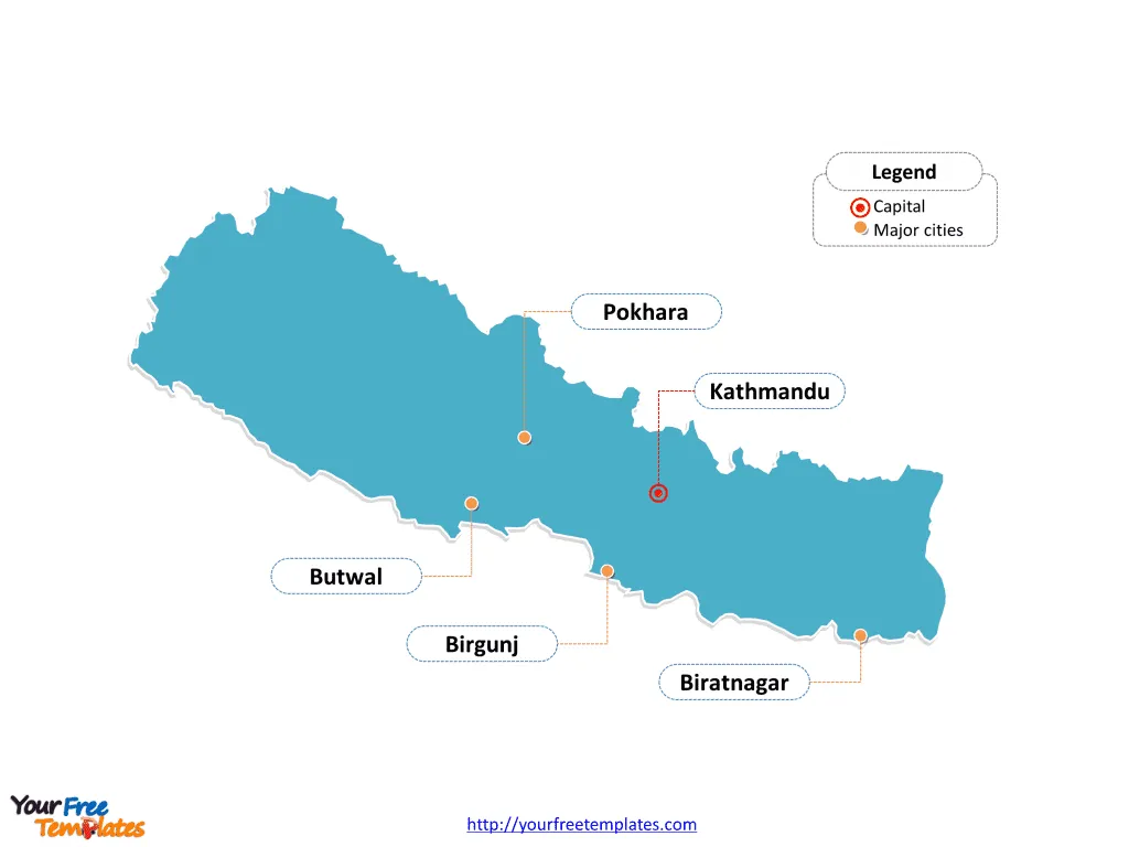
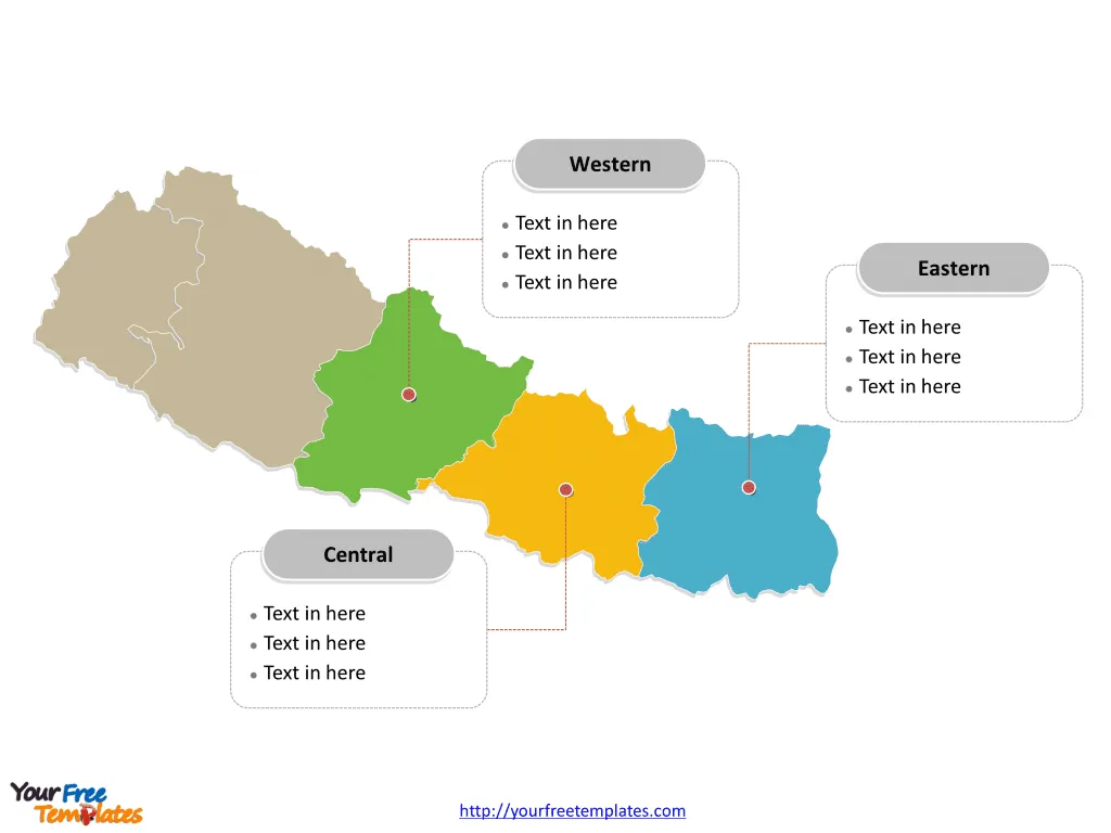
The Nepal Map Template includes four slides. Nepal Country political map with 7 provinces, labeling major provinces, Province No. 3, Province No. 2, Province No. 5, and Province No. 1. Nepal map labeled with capital and major cities, Kathmandu, Pokhara, Biratnagar, Birgunj, and Butwal.
Nestled in South Asia’s heart, Nepal is a landlocked country bordered by China to the north and India to the south, east, and west. The country is renowned for its diverse geography, which includes the fertile plains of the Terai, lush central hills, and the towering peaks of the Himalayas, including Mount Everest, the world’s highest point. Nepal’s location has made it a melting pot of cultures and a destination for trekkers, adventurers, and those seeking spiritual awakening.
Slide 1, Nepal Map labeled with capital and major cities.
Nepal is a landlocked central Himalayan country in South Asia. Kathmandu is the capital and largest city of Nepal, other major cities including Pokhara, Biratnagar, Birgunj, and Butwal.
Major Cities on Nepal map
Kathmandu: As the capital city, Kathmandu is the largest metropolitan area in Nepal and serves as the country’s economic and cultural center. The city is rich in historical significance and is home to several UNESCO World Heritage Sites, including the Kathmandu Durbar Square, Swayambhunath Stupa, and Pashupatinath Temple.
Pokhara: Known for its stunning natural beauty, Pokhara is the gateway to the Annapurna Circuit, a popular trail in the Himalayas. The city is famous for its tranquil Phewa Lake, the World Peace Pagoda, and stunning views of the Machhapuchhre and Annapurna mountain ranges.

Biratnagar: As one of Nepal’s industrial powerhouses, Biratnagar is located in the eastern part of the country. It’s an important center for trade and commerce and has been pivotal in the country’s political history.
Birgunj: Birgunj is a key business and trading hub, especially for trade between Nepal and India due to its proximity to the Indian border. It is also known for its vibrant festivals and cultural diversity.
Butwal: Butwal is a rapidly growing city in western Nepal. It is an important agricultural and trade center that serves as a junction for transportation and communication for the surrounding areas.
Slide 2,Nepal Map labeled with major regions.
Prior to September 2015, Nepal was divided into 5 Development regions; they are Eastern, Central, Western, Mid-Western, and Far-Western.


