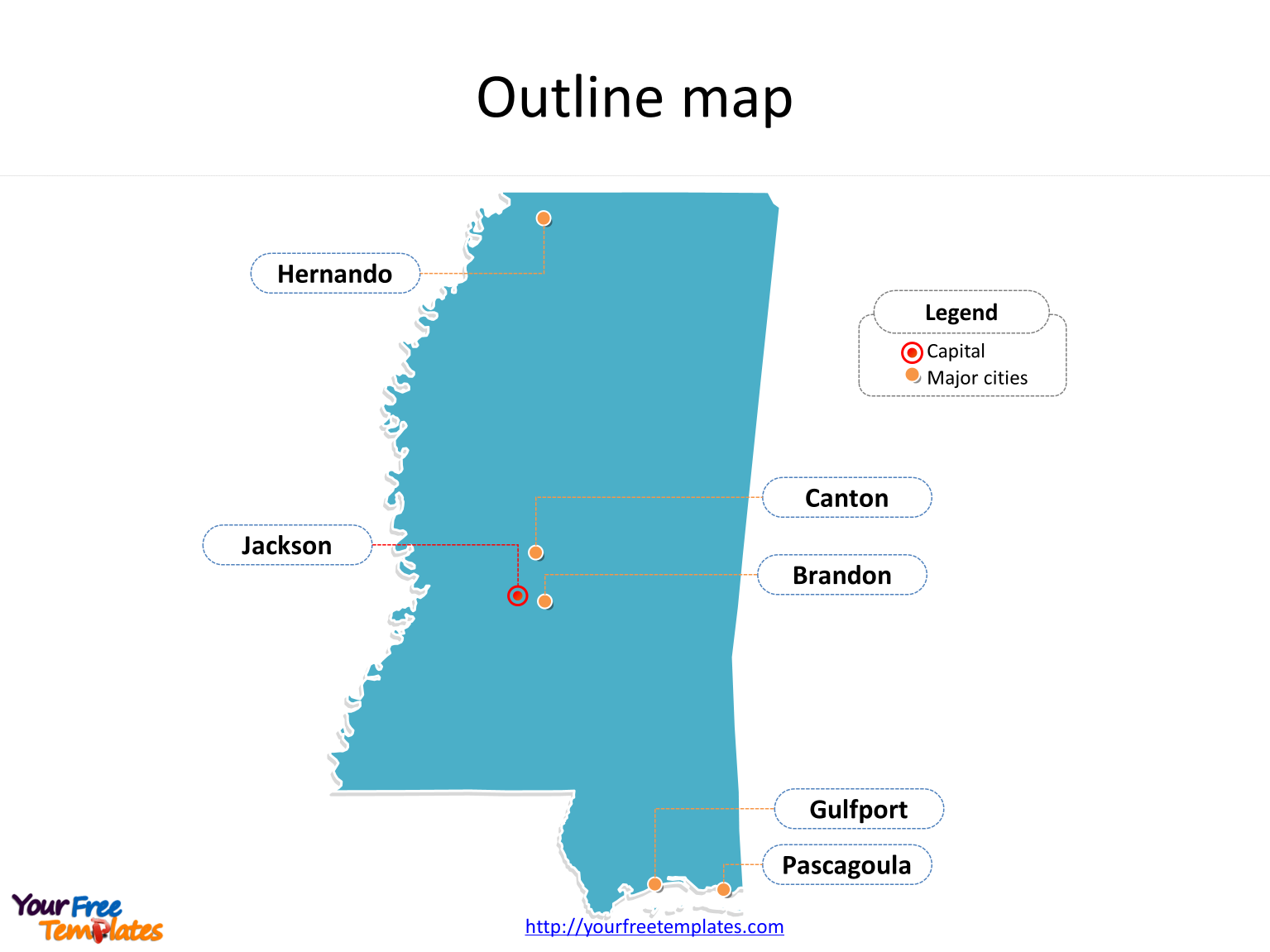
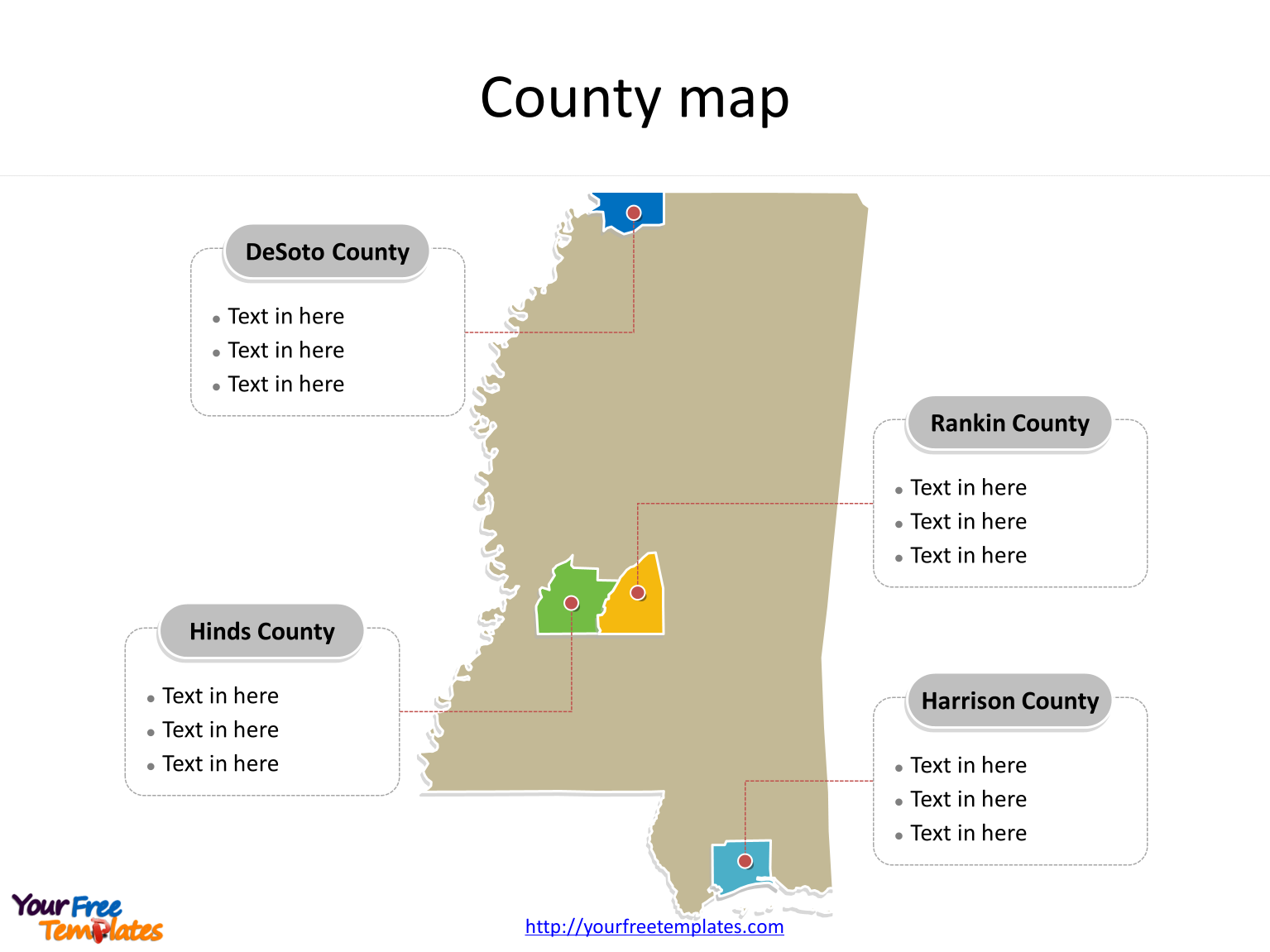
The State of Mississippi map Template in PowerPoint format includes two slides. Firstly the Mississippi maps with outline is labeling with capital and major cities. Secondly the Mississippi maps with outline is labeling with major counties. So our Mississippi maps PowerPoint templates have capital and major cities on it. They are Jackson, Gulfport, Hernando, Brandon, Pascagoula, and Canton. Finally the most populated counties are Hinds County, Harrison County, DeSoto County, and Rankin County.
The Mississippi maps PowerPoint templates include two slides.
Slide 1, Mississippi maps PowerPoint templates labeling with capital and major cities
Our State of Mississippi map is for the state in the Southern United States, with part of its southern border formed by the Gulf of Mexico. Firstly Tennessee is neighboring from the north. Secondly Alabama is neighboring from the east. Thirdly Louisiana and a narrow coast on the Gulf of Mexico are neighboring from the south. Fourthly Louisiana and Arkansas are neighboring from the west across the Mississippi River. Its capital and largest city is Jackson, other major cities including Gulfport, Hernando, Brandon, Pascagoula, and Canton. You can found them in our Mississippi maps PowerPoint templates.

Slide 2, Mississippi map PowerPoint templates labeling with the most populated counties
The most populated counties in Mississippi State are Hinds County, Harrison County, DeSoto County, and Rankin County. What is more, Mississippi is the 32nd most extensive and the 32nd most populous of the 50 United States. The labels and shapes are layers of different groups. In a word, you can change the texts, colors, sizes, and add your charts. At the same time you can also refer to the fully labeled State of Mississippi in Wikipedia. Believe it or not, analysts from marketing research companies, consultants from professional firms think highly of our website yourfreetemplates.com. Most important of all, our maps can help to reduce their efforts and create good-looking maps.

Size:95K
Type: PPTX
Aspect Ratio: Standard 4:3
Click the blue button to download it.
Download the 4:3 Template
Aspect Ratio: Widescreen 16:9
Click the green button to download it.
Download the 16:9 Template


