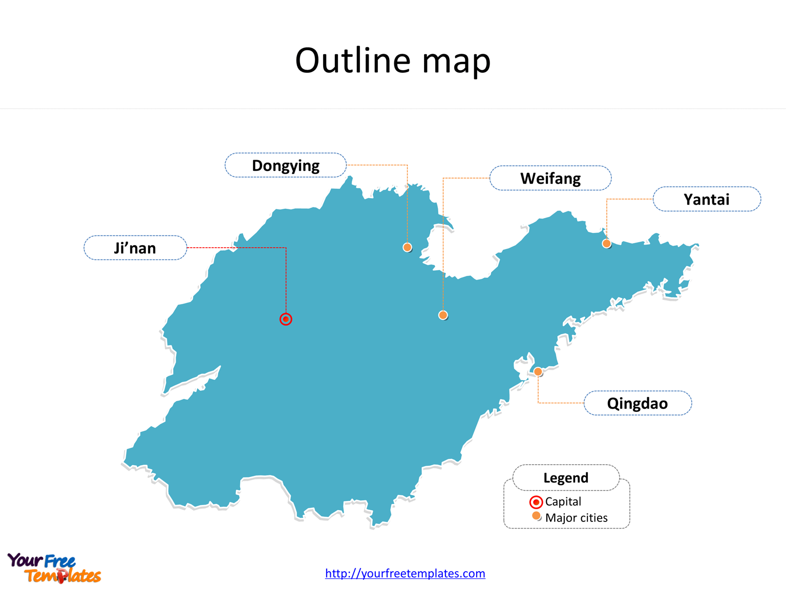
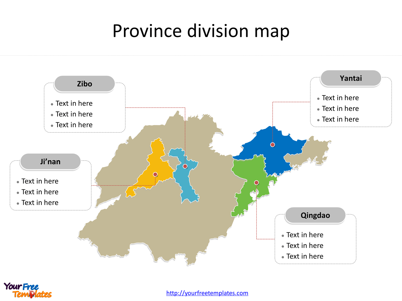
The Province of Shandong map Template in PowerPoint format includes two slides. Firstly the Shandong maps with outline is labeling with capital and major cities. Secondly the Shandong maps with outline is labeling with major divisions. So our Shandong maps PowerPoint templates have capital and major cities on it. They are Ji’nan, Yantai, Qingdao, Dongying, and Weifang. Finally the most populated divisions are Ji’nan, Yantai, Qingdao, and Zibo.
The Shandong maps PowerPoint templates include two slides.
Slide 1, Shandong maps PowerPoint templates labeling with capital and major cities
Firstly Shandong is a coastal province of the People’s Republic of China, and is part of the East China region. Shandong borders the Bohai Sea to the north, Hebei to the northwest, Henan to the west, Jiangsu to the south, and the Yellow Sea to the southeast; it also shares a very short border with Anhui, between Henan and Jiangsu. Secondly Shandong has played a major role in Chinese history since the beginning of Chinese civilization along the lower reaches of the Yellow River. It has served as a pivotal cultural and religious center for Taoism, Chinese Buddhism, and Confucianism.

Slide 2, Shandong map PowerPoint templates labeling with the most populated divisions
The most populated divisions in Shandong Province are Ji’nan, Yantai, Qingdao, and Zibo. What is more, Shandong has emerged as one of the most populous (95,793,065 inhabitants at the 2010 Census) and most affluent provinces in the People’s Republic of China with a GDP of CNY¥5.942 trillion in 2014, or USD$967 billion, making it China’s third wealthiest province. The labels and shapes are layers of different groups. In a word, you can change the texts, colors, sizes, and add your charts. At the same time you can also refer to the fully labeled Province of Shandong in Wikipedia. Believe it or not, analysts from marketing research companies, consultants from professional firms think highly of our website yourfreetemplates.com. Most important of all, our maps can help to reduce their efforts and create good-looking maps.

Size:95K
Type: PPTX
Aspect Ratio: Standard 4:3
Click the blue button to download it.
Download the 4:3 Template
Aspect Ratio: Widescreen 16:9
Click the green button to download it.
Download the 16:9 Template


