The Washington DC map Template in PowerPoint format includes eight maps. Firstly the Washington DC maps are outline map of boundary, Quadrants and wards. Secondly the Washington DC maps are related to Police Districts, Police Sectors and Police Service Areas. The third is the Washington DC maps are for Neighborhood Planning Areas and Neighborhood Clusters. You can also find our Virtual Reality, Carbon neutral, Circular economy, Carbon footprint, Data Mining, Machine Learning, cloud computing, Artificial Intelligence and BlockChain templates.
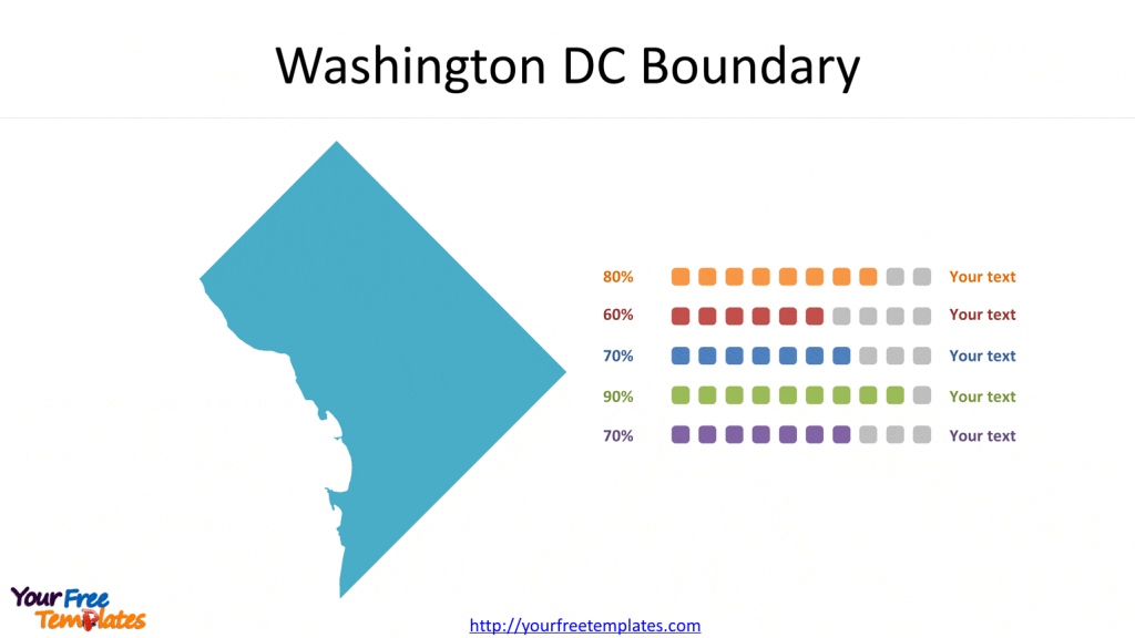
Slide 1, Washington DC Boundary
Washington DC is the capital city of the United States; located between the state of Virginia and Maryland on the north bank of the Potomac River. “D.C.” stands for “District of Columbia” and Washington DC is a federal district. It has been the political center of USA, as the US President and many major national government offices are in the territory.

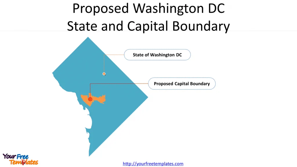
Slide 2, Proposed Washington DC State and Capital Boundary
Office of Planning Proposed State of Washington, DC and the Capital Boundaries.

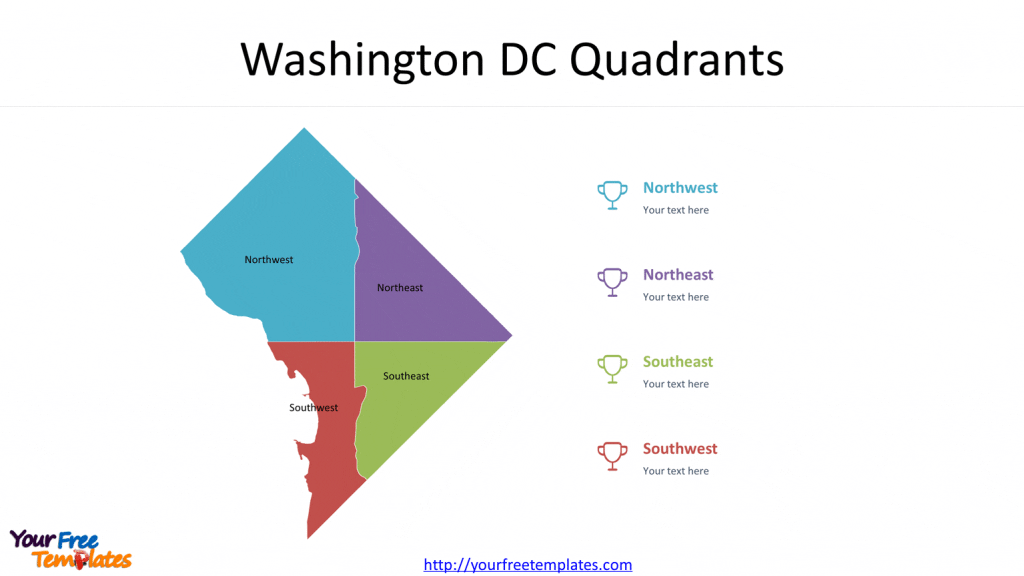
Slide 3, Washington DC Quadrants
There are four sections or quadrants Northwest, Northeast, Southeast and Southwest in the Washington DC. Northwest is the largest quadrants, contains most of the city’s federal buildings, tourist destinations, and wealthier neighborhoods.


