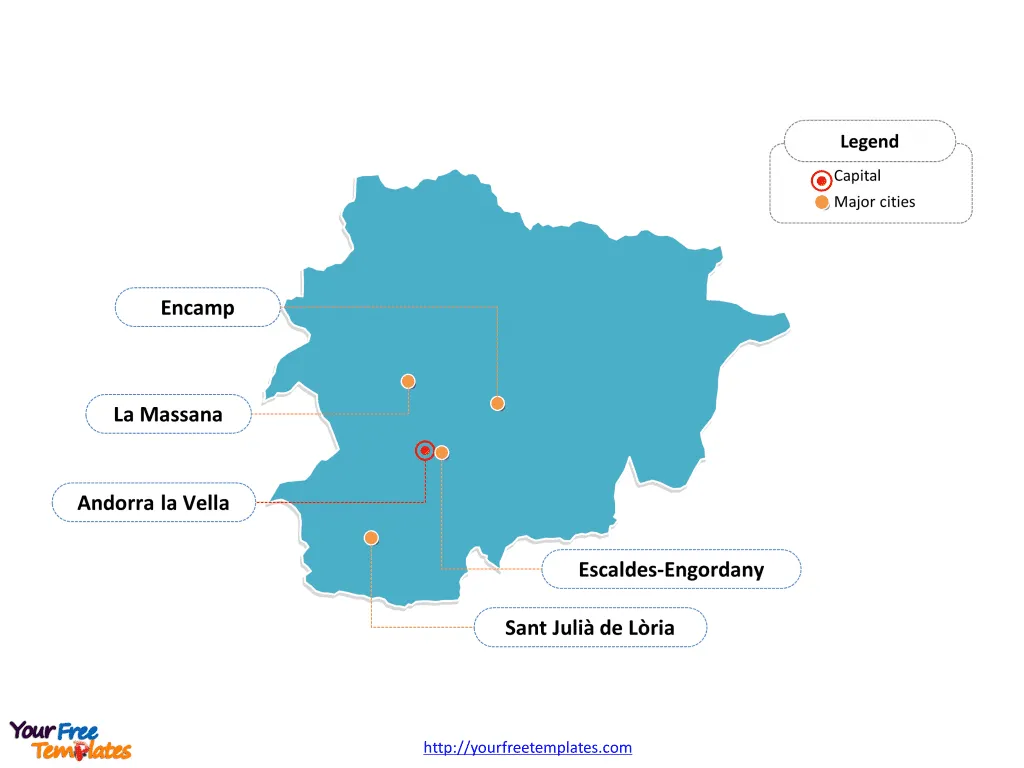
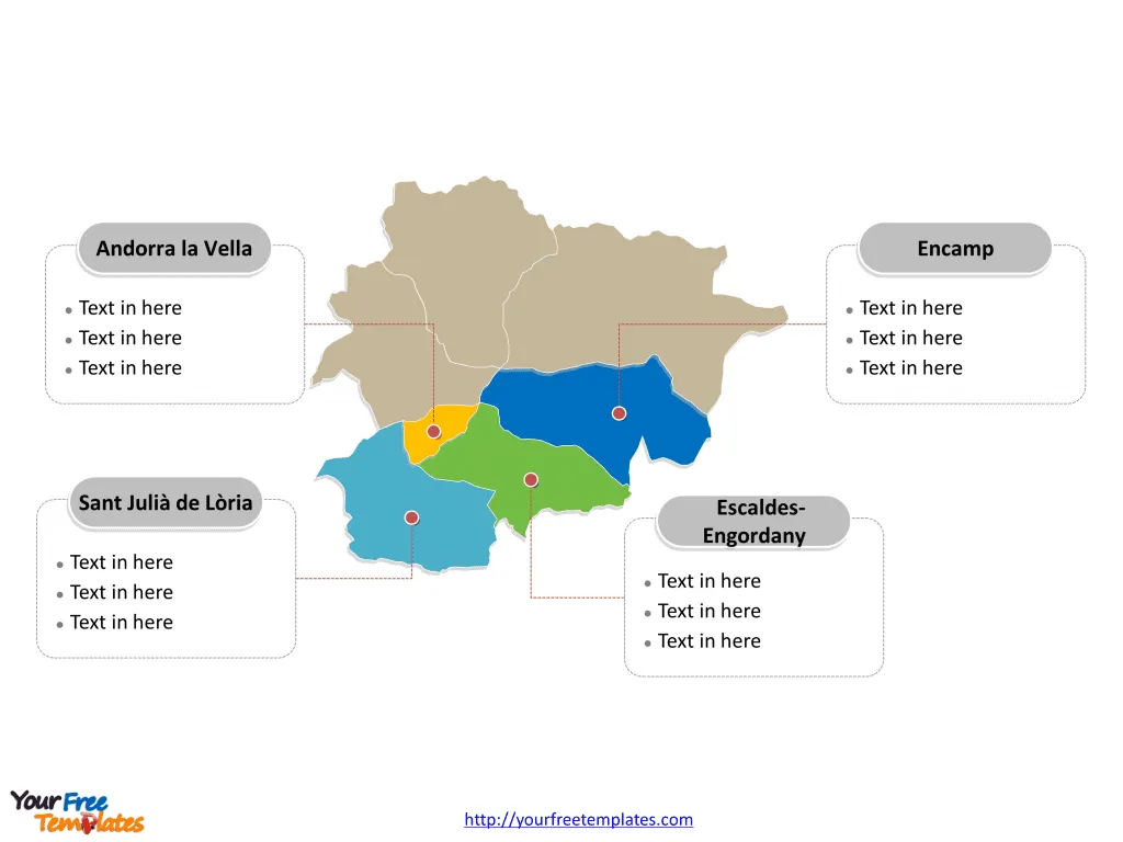
Our Andorra Map Template in PowerPoint format includes two slides, that is, the Andorra outline map and Andorra political map. Firstly, our Andorra outline map template has capital and major cities on it, which are Andorra la Vella, Escaldes-Engordany, Encamp, Sant Julià de Lòria, and La Massana. Secondly, there are seven parishes in our Andorra political map template of divisions, labeling the most populated divisions that are Andorra la Vella, Escaldes-Engordany, Encamp, and Sant Julià de Lòria.
Slide 1, Andorra map labeled with capital and major cities.
Our Andorra map is for the landlocked microstate in Southwestern Europe. Spain and France are her neighboring countries. As Andorra la Vella is the capital and largest city of Andorra, furthermore, other major cities including Escaldes-Engordany, Encamp, Sant Julià de Lòria, and La Massana. Since our Andorra map slide has the capital and major cities on the outline. Accordingly users can remove cities or include new ones to create their unique Andorra maps and apply in different slides.

Slide 2, Andorra map labeled with major regions.
The Andorra map is the country political division of seven parishes. They are Andorra la Vella, Canillo, Encamp, Escaldes-Engordany, La Massana, Ordino, and Sant Julià de Lòria. What is more, every individual political subdivision is an editable shape. Therefore you can change the texts, colors, sizes, highlight some map shapes, and add your icons or diagrams. At the same time you can also refer to the fully labeled Andorra map in Wikipedia. In a word, analysts, consultants, designers and a variety of professionals have appreciated our efforts greatly; because our maps can assist them achieving effective communication.

Size:93K
Type: PPTX
Aspect Ratio: Standard 4:3
Click the blue button to download it.
Download the 4:3 Template
Aspect Ratio: Widescreen 16:9
Click the green button to download it.
Download the 16:9 Template


