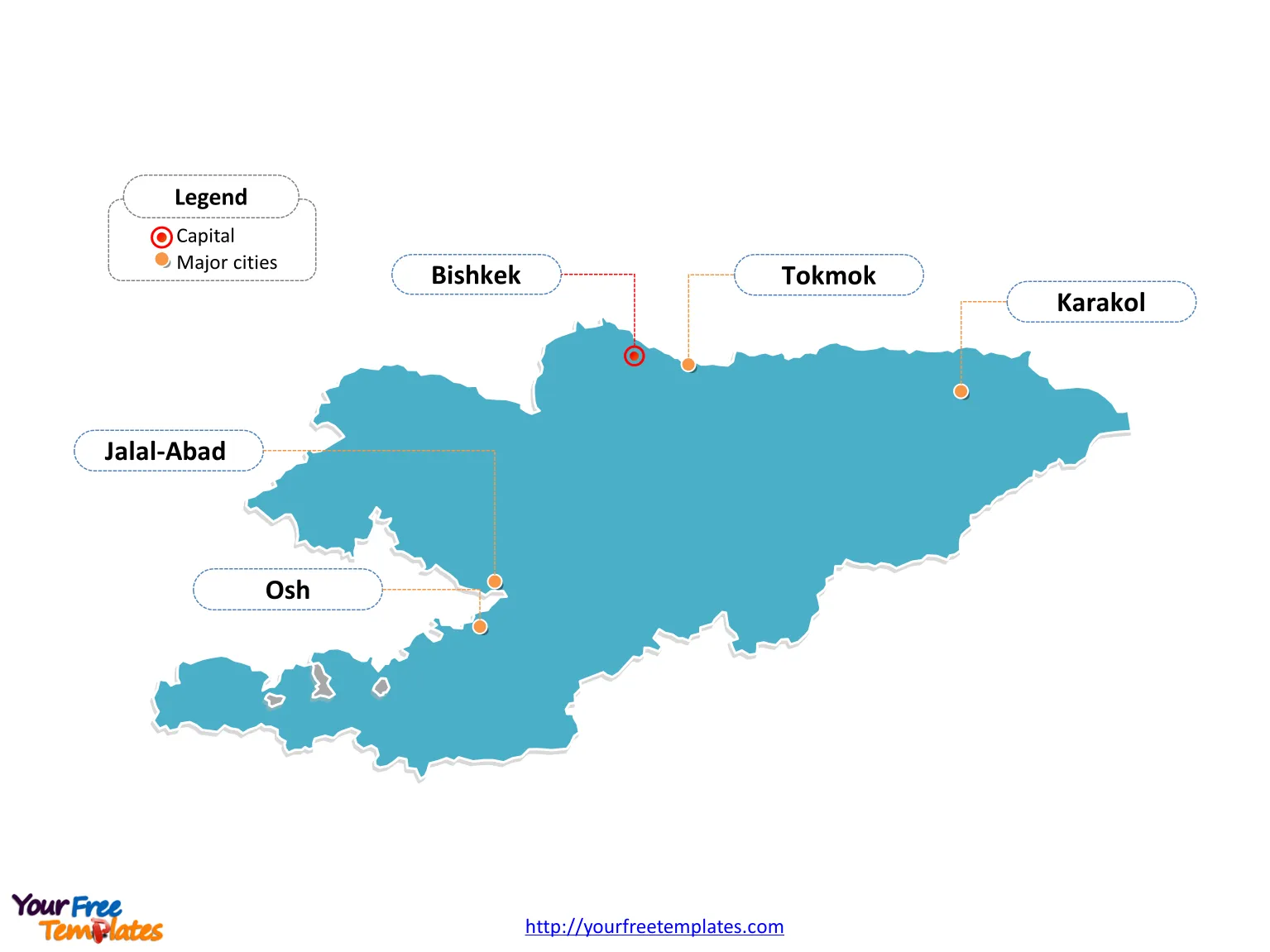
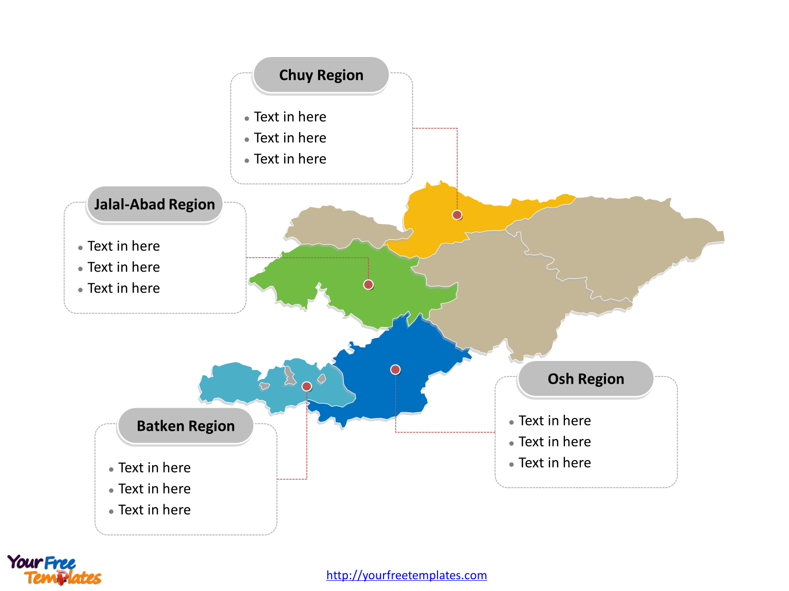
Free Kyrgyzstan Editable map with seven regions and two independent cities, labeling major regions, Osh Region, Jalal-Abad Region, Chuy Region, and Batken Region. Free Kyrgyzstan Editable map of outline labeled with capital and major cities, Bishkek, Osh, Jalal-Abad, Karakol, and Tokmok.
The Map of Kyrgyzstan Template includes two slides.
Slide 1, Kyrgyzstan Editable map of outline labeled with capital and major cities.
Kyrgyzstan is a country in Central Asia. Landlocked and mountainous, Kyrgyzstan is bordered by Kazakhstan to the north, Uzbekistan to the west and southwest, Tajikistan to the southwest and China to the east. Its capital and largest city is Bishkek, other major cities including Osh, Jalal-Abad, Karakol, and Tokmok.

Slide 2, Kyrgyzstan Editable map of political divisions labeled with major divisions.
Kyrgyzstan is a country divided into seven regions and two independent cities; they are BishkekCity, Batken Region, Chuy Region, Jalal-Abad Region, Naryn Region, Osh Region, Talas Region, Issyk Kul Region, and Osh City. Every individual political subdivision is an editable shape. Detailed Kyrgyzstan Editable map of political administrative divisions please refer to Wikipedia Kyrgyzstan.

Size:107K
Type: PPTX
Aspect Ratio: Standard 4:3
Click the blue button to download it.
Download the 4:3 Template
Aspect Ratio: Widescreen 16:9
Click the green button to download it.
Download the 16:9 Template


