Introduction
The Great Lakes—Superior, Michigan, Huron, Erie, and Ontario—are a vital natural and economic resource for North America. Whether you’re a teacher, researcher, or business professional, having a well-designed Great Lakes map in your PowerPoint presentation can enhance clarity and engagement. In this blog, we’ll explore five high-quality Great Lakes map PowerPoint templates, each offering unique features like watershed outlines, political boundaries, and bathymetry details.
The Great Lakes region is home to over 30 million people in the U.S. and Canada, with major cities like Chicago, Detroit, Toronto, and Cleveland driving economic growth. This area accounts for 20% of the world’s freshwater supply, supporting industries, agriculture, and transportation.
Economically, the Great Lakes contribute $6 trillion to the U.S. and Canadian economies, generating millions of jobs in manufacturing, shipping, and tourism. The lakes facilitate 200 million tons of cargo annually, connecting the Midwest to global markets via the St. Lawrence Seaway. Key industries—automotive, steel, and agriculture—rely on the lakes for water, trade, and energy.
The region’s ecological importance is immense, sustaining fisheries, wildlife, and drinking water for 40 million people. However, challenges like pollution and invasive species threaten its sustainability.
For the U.S. economy, the Great Lakes are a vital trade corridor, energy source, and recreation hub, making their preservation crucial for future prosperity. Investing in clean water and infrastructure ensures this natural asset continues to drive growth.
At the end of this post, you can download our Great Lakes Map PowerPoint template to create customized slides in your project. As the same diagram PowerPoint template series, you can also find our Top Cities in Kentucky State,12 Best Countries to Retire in 2025, 21 Best Cities to Live in the United States, 17 Best Cities in the World for 2025, 23 Best American Cities to Visit in 2025, World Cup Cities PowerPoint templates.
1. Basic Great Lakes Map
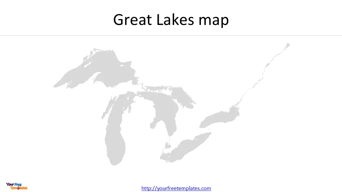
The simplest yet most versatile slide in your collection is the Great Lakes map without additional markings. This template provides a clean outline of all five lakes, making it ideal for:
-
Introducing the geography of the Great Lakes.
-
Highlighting lake-specific data (e.g., water volume, ecological zones).
-
Customizing with your own labels or annotations.
Best for: General presentations, educational lectures, and environmental studies.
2. Great Lakes Map with Watershed Outline
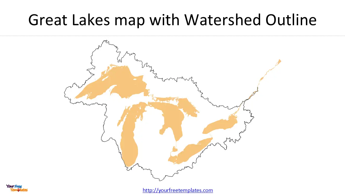
Understanding the Great Lakes watershed is crucial for discussing water flow, pollution control, and conservation efforts. This template includes:
-
A detailed outline of the entire watershed area.
-
Clear demarcation of tributaries and drainage basins.
Best for: Environmental science presentations, water management discussions, and policy-making reports.
3. Great Lakes Map with US States
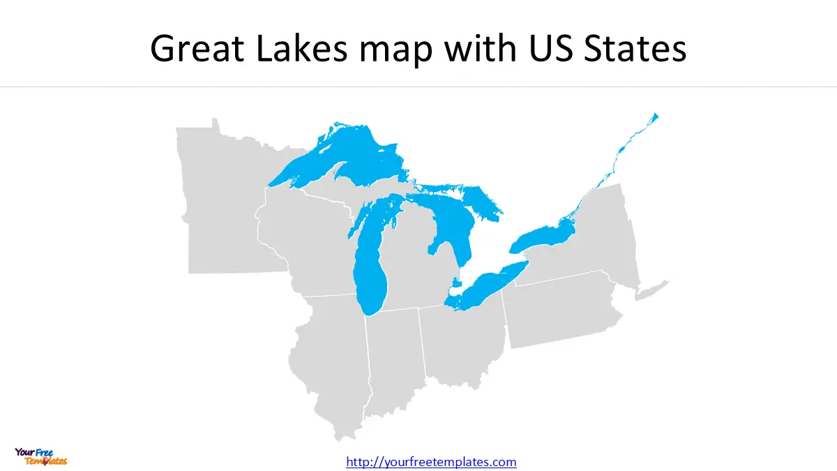
For presentations focusing on the U.S. side of the Great Lakes, this map of Great Lakes includes:
-
Borders of the eight adjoining U.S. states (Minnesota, Wisconsin, Illinois, Indiana, Michigan, Ohio, Pennsylvania, and New York).
-
A political perspective for economic or demographic analyses.
Best for: Business reports, tourism industry presentations, and regional economic studies.
4. Great Lakes Map with US States and Canadian Provinces
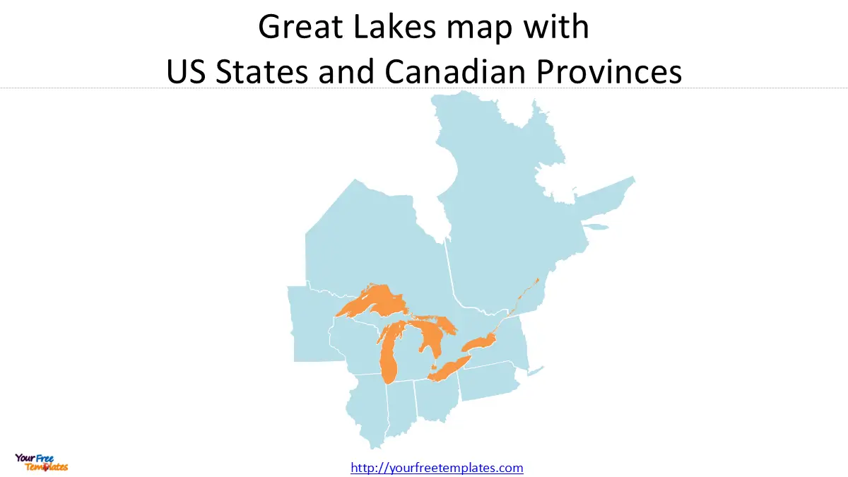
The Great Lakes are a binational treasure, shared by the U.S. and Canada. This comprehensive template features:
-
All adjoining U.S. states.
-
Canadian provinces (Ontario and Quebec).
-
A complete geopolitical view for cross-border discussions.
Best for: International trade, environmental treaties, and binational policy presentations.
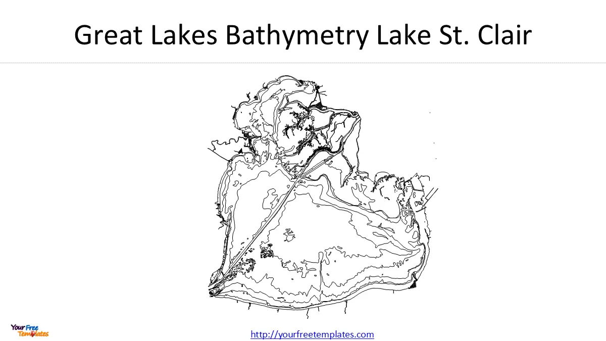
5. Great Lakes Bathymetry Map (Including Lake St. Clair)
For scientific or engineering presentations, bathymetry (depth measurement) is essential. This Great Lakes map highlights:
-
Depth contours of each lake.
-
Inclusion of Lake St. Clair, a critical connecting waterway.
Best for: Marine biology, geology, shipping logistics, and climate change research.
Why Use These Great Lakes Map Templates?
-
Professional Quality – Each slide is designed for clarity and visual appeal.
-
Time-Saving – No need to create maps from scratch; just plug in your data.
-
Versatility – Suitable for academic, business, and governmental use.
-
Customizable – Easily edit colors, labels, and add your own data.
How to Use These Templates Effectively
-
For Educators: Use the basic map to teach geography, or the bathymetry map for earth science lessons.
-
For Businesses: Highlight trade routes or regional demographics with the political boundaries template.
-
For Researchers: The watershed and bathymetry maps are perfect for environmental or hydrological studies.
Conclusion
A well-designed Great Lakes map PowerPoint template can elevate your presentation, making complex information accessible and engaging. Whether you need a simple outline or a detailed bathymetric view, these five templates—Great Lakes map, watershed outline, US states, US-Canada provinces, and bathymetry—cover all your needs.
Download these templates today from YourFreeTemplates.com and make your next presentation stand out!
Final Tip: Combine multiple slides for a comprehensive overview of the Great Lakes’ geography, politics, and science.
By incorporating these Great Lakes map templates, you’ll ensure your audience gains a deeper understanding of this magnificent natural resource. Happy presenting!
Looking for Premium maps, please visit our affiliate site: https://editablemaps.com/ or https://ofomaps.com/
Size:988K
Type: PPTX
Great Lakes Map Template
Click the link to download it.
Aspect Ratio: Widescreen 16:9
Click the green button to download it.
Download the 16:9 Template


