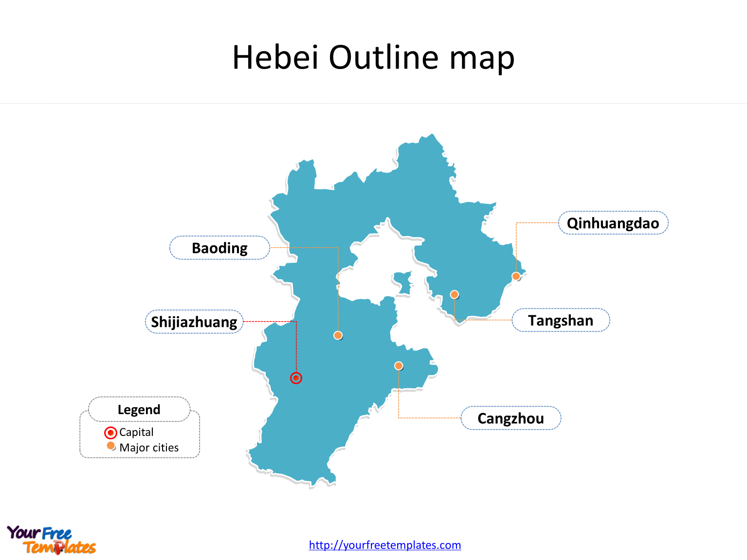
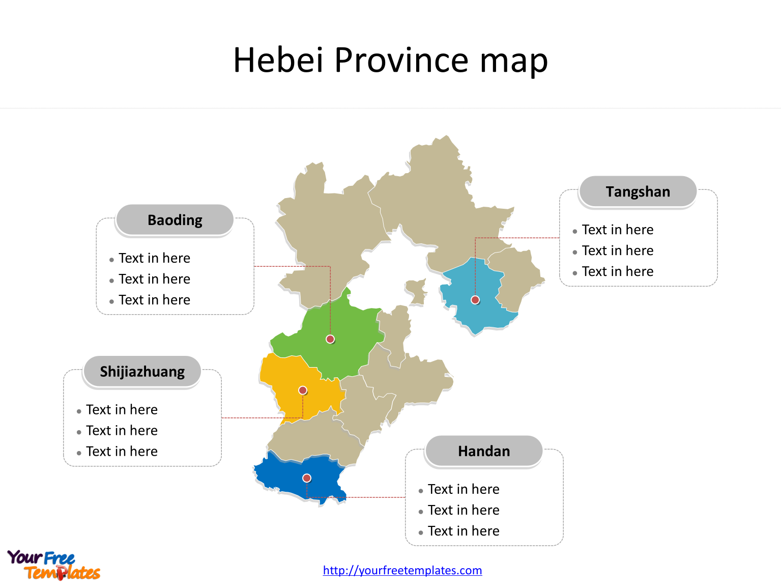
The Province of Hebei map (河北地图) PowerPoint Template includes two slides. Firstly the Hebei maps with outline is labeling with capital and major cities. Secondly the Hebei map with outline is labeling with major divisions. So our Hebei map PowerPoint templates have capital and major cities on it. Finally the most populated divisions are map of Hebei.
The Hebei map PowerPoint templates include two slides.
Slide 1, Hebei map templates labeling with capital and major cities
Our Province of Hebei map is for the province of China in the North China region. Firstly Beijing and Tianjin Municipalities are carving out of Hebei. Secondly Liaoning is neighboring from the northeast. Thirdly Inner Mongolia is neighboring from the north. Fourthly Shanxi is neighboring from the west. Fifthly Henan is neighboring from the south and Shandong is from the southeast. Its capital and largest city is Shijiazhuang, other major cities including Tangshan city, Qinhuangdao city, Baoding city, and Cangzhou city. You can found them in our Hebei map templates.

Slide 2, Hebei map templates labeling with the most populated divisions
The most populated divisions in Hebei province are Baoding city, Shijiazhuang city, Handan city, and Tangshan city. What is more, in 2014, Hebei’s GDP was 2.942 trillion yuan (US$479 billion), ranked 6th in the PRC. GDP per capita reached 40,124 Renminbi. The labels and shapes are layers of different groups. In a word, you can change the texts, colors, sizes, and add your charts. At the same time you can also refer to the fully labeled Province of Hebei in Wikipedia. Believe it or not, analysts from marketing research companies, consultants from professional firms think highly of our website yourfreetemplates.com. Most important of all, our maps can help to reduce their efforts and create good-looking maps.

Size:103K
Type: PPTX
Aspect Ratio: Standard 4:3
Click the blue button to download it.
Download the 4:3 Template
Aspect Ratio: Widescreen 16:9
Click the green button to download it.
Download the 16:9 Template


