The Ohio City Map template in PowerPoint format includes 10 slides. They are templates for the 10 largest cities by population in Ohio: Columbus, Cleveland, Cincinnati, Toledo, Akron, Dayton, Parma, Canton, Lorain and Hamilton. As the same diagram PowerPoint template series, you can also find our Carbon footprint, Carbon neutral, Data Mining, Machine Learning, cloud computing, Artificial Intelligence and BlockChain or Central Europe, Eastern Europe , Israel Palestine map, India-Middle East-Europe Economic Corridor (IMEC), America Time Zone PowerPoint templates.
Ohio, one of the most populous states in the United States, is known for its rich cultural history, robust industries, and diverse cities. This Midwestern state, with a population of approximately 11.78 million, is a vibrant blend of urban and rural landscapes. Let’s embark on a journey to explore the ten largest cities in Ohio by population.
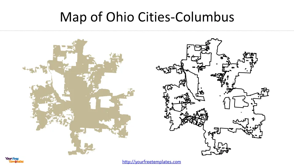
Slide 1, Ohio City Map-Columbus
Columbus – With an estimated population of 907,971, Columbus, the state capital, is the largest city in Ohio. It’s a dynamic city that offers a mix of contemporary culture and historic charm. The city is home to the Ohio State University and is known for its thriving arts scene and family-friendly attractions.

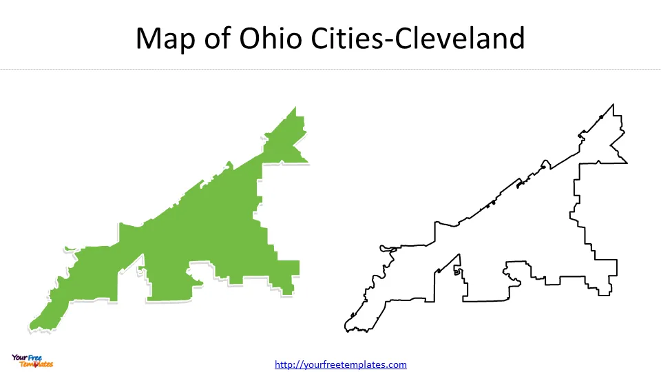
Slide 2, Ohio City Map-Cleveland
Cleveland – In the second spot, we have Cleveland with a population of 361,607. Located on the southern shore of Lake Erie, this city has a robust economy built on healthcare, education, and manufacturing. Cleveland is also famous for its Rock and Roll Hall of Fame and a host of cultural and recreational opportunities.

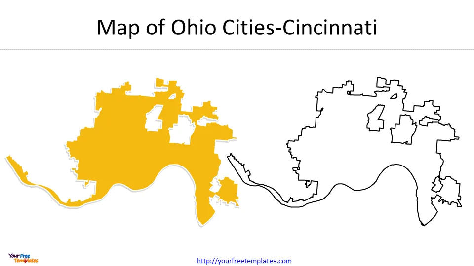
Slide 3, Cincinnati Ohio map
Cincinnati, with a population of 309,513, is the third-largest city in Ohio. Known for its historic architecture, Cincinnati offers a unique blend of heritage and modernity. The city is home to several major league sports teams and hosts the annual Cincinnati Music Festival.


