The Bay Area map Template in PowerPoint format includes five slides. You can enjoy the Bay Area on the California Map, Blank or labeled California Bay Area Map with Counties, Bay Area with Neighboring Counties, Bay Area with Incorporated Cities and Towns. You can also find our blank or labeled Florida state map, Texas state map, Chicago map, Los Angeles map, New York map, Washington DC map and US map with states.
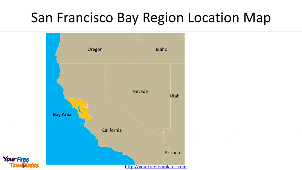
Slide 1, San Francisco Bay Region Location Map
The Bay Area is one of the metropolitan regions surrounding the San Francisco Bay in Northern California.
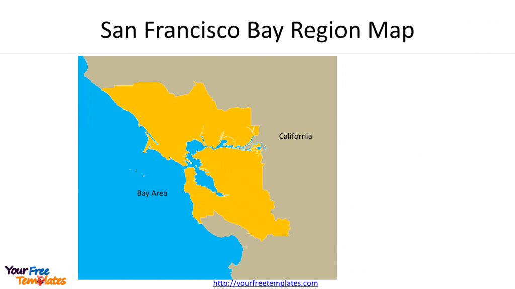
Slide 2 Framed San Francisco Bay Region Map
The chart shows Bay Region outline in the CA state map.
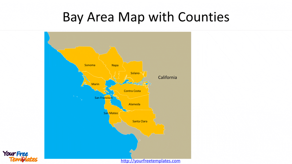
Slide 3 California Bay Area Map with Counties
There are nine counties along the Bay Area which are Alameda, Contra Costa, Marin, Napa, San Francisco, San Mateo, Santa Clara, Solano, and Sonoma.
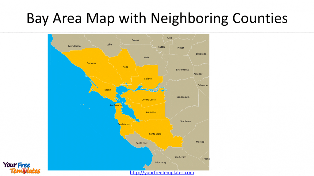
Slide 4 Bay Area Map with Neighboring Counties
There are another 9 neighboring Counties in this California County Map. As showed in this map, you can highlight any counties you like, which are Mendocino, Lake, Yolo, Sacramento, San Joaquin, Stanislaus, Merced, San Benito, and Santa Cruz.
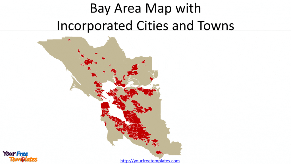
Slide 5 Bay Area Map with Incorporated Cities and Towns
The 101 incorporated Cities and Towns are Alameda, Albany, Berkeley, Dublin, Emeryville, Fremont, Hayward, Livermore, Newark, Oakland, Piedmont, Pleasanton, San Leandro, Union City, Antioch, Brentwood, Clayton, Concord, Danville, El Cerrito, Hercules, Lafayette, Martinez, Moraga, Oakley, Orinda, Pinole, Pittsburg, Pleasant Hill, Richmond, San Pablo, San Ramon, Walnut Creek, Belvedere, Corte Madera, Fairfax, Larkspur, Mill Valley, Novato, Ross, San Anselmo, San Rafael, Sausalito, Tiburon, American Canyon, Calistoga, Napa, Saint Helena, Yountville, San Francisco, Atherton, Belmont, Brisbane, Burlingame, Colma, Daly City, East Palo Alto, Foster City, Half Moon Bay, Hillsborough, Menlo Park, Millbrae, Pacifica, Portola Valley, Redwood City, San Bruno, San Carlos, San Mateo, South San Francisco, Woodside, Campbell, Cupertino, Gilroy, Los Altos, Los Altos Hills, Los Gatos, Milpitas, Monte Sereno, Morgan Hill, Mountain View, Palo Alto, San Jose, Santa Clara, Saratoga, Sunnyvale, Benicia, Dixon, Fairfield, Rio Vista, Suisun City, Vacaville, Vallejo, Cloverdale, Cotati, Healdsburg, Petaluma, Rohnert Park, Santa Rosa, Sebastopol, Sonoma, and Windsor.
For premium maps of US counties by state, please visit our ofomaps.com.
Size:1130K
Type: PPTX
[sociallocker]Aspect Ratio: Standard 4:3
Click the link to download it.
Download the 4:3 Template
Aspect Ratio: Widescreen 16:9
Click the link to download it.
Download the 16:9 Template[/sociallocker]
