The Tonga map templates in PowerPoint format include 6 slides. Firstly the Tonga maps are outline maps with major islands. Secondly the Tonga maps are Political map with administrative divisions. Thirdly our Tonga maps as PowerPoint templates are for five administrative divisions: ʻEua, Haʻapai, Niuas, Tongatapu, and Vavaʻu. You can also find our Queensland map of Australia, NSW map of Australia, Free US Powerpoint Map, Virtual Reality, Carbon neutral, Circular economy, Carbon footprint, Data Mining, Machine Learning, cloud computing, Artificial Intelligence and BlockChain templates.
Location: Tonga, officially known as the Kingdom of Tonga, is a Polynesian sovereign state located in the South Pacific Ocean. It is situated about a third of the way between New Zealand and Hawaii.
Population: As of the latest available data in 2021, Tonga has an estimated population of around 105,000 people. The majority of the population resides on the main island of Tongatapu.
Economy: Tonga’s economy is characterized by its reliance on agriculture, fishing, and remittances from Tongans living abroad. The country also benefits from tourism and foreign aid. Key exports include squash, fish, vanilla beans, and root crops. Additionally, the government has been working to develop industries such as handicrafts and manufacturing to diversify the economy and reduce its dependence on imports.
Tonga faces challenges such as limited resources and vulnerability to natural disasters, but it continues to strive for economic growth and stability.
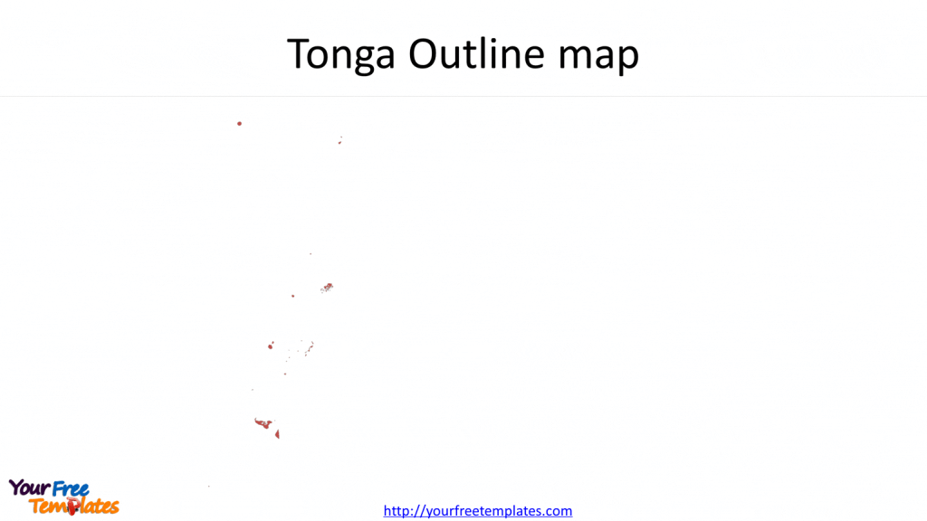
Slide 1, Tonga Map Outline
Tonga is a Polynesian sovereign state and archipelago comprising 169 islands, of which 36 are inhabited. The nearest countries are Australia, Fiji and New Zealand.

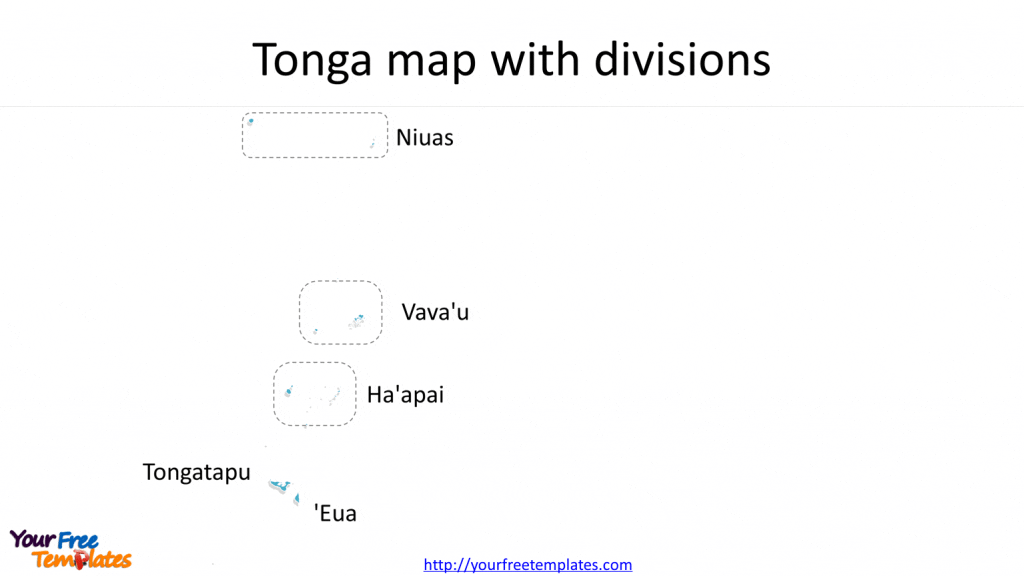
Slide 2, Tonga map with divisions
It is known to the public that the Tonga Map is administrative divisions of Tonga with five administrative divisions. For the five administrative divisions, they are ʻEua, Haʻapai, Niuas, Tongatapu, and Vavaʻu.

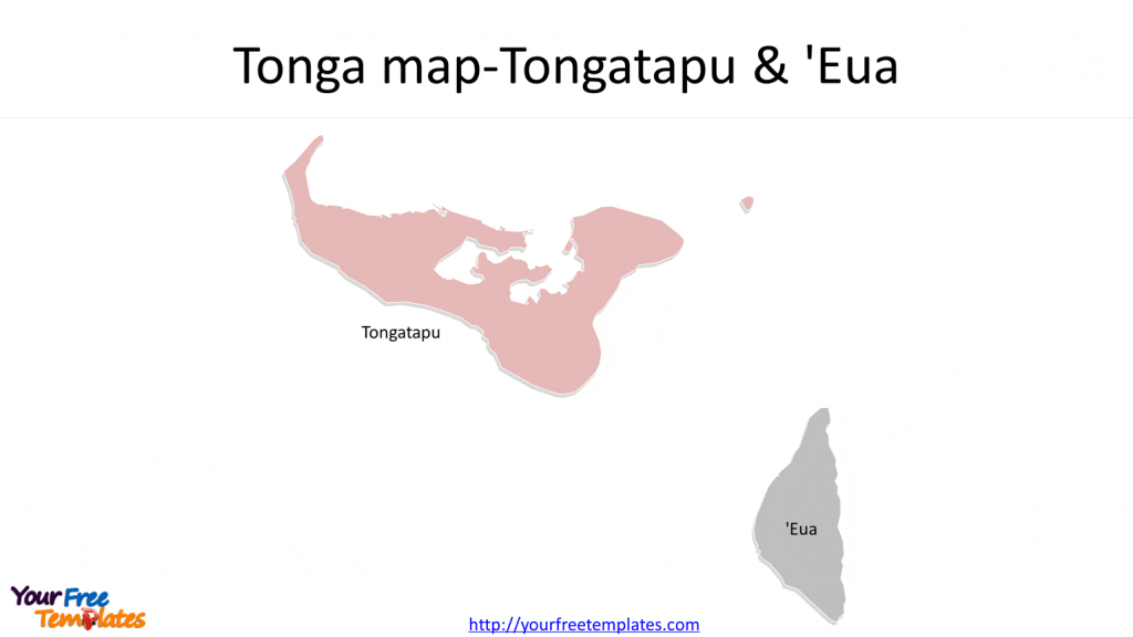
Slide 3, Tonga Map for Tongatapu and ʻEua:
As the main island of Tonga, Tongatapu is the political and economic center of the country. Here, visitors can explore historical sites, such as the ancient capital of Muʻa, as well as the Haʻamonga Trilithon and the Royal Palace. The island also boasts stunning beaches, vibrant markets, and a rich cultural heritage.

The southernmost island in the Kingdom of Tonga, ʻEua is known for its rugged terrain, limestone cliffs, and lush rainforests. It offers opportunities for hiking, birdwatching, and immersing oneself in nature. The island’s authentic Tongan culture and laid-back atmosphere make it a haven for those seeking a peaceful retreat.


