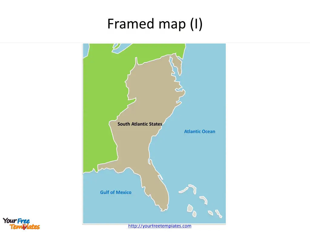
Slide 3, US South Atlantic State map PowerPoint templates with surrounding neighboring states (1)
The US maps for South Atlantic States presents as a whole. Not only for the South Atlantic States, but also for the surrounding neighboring states.

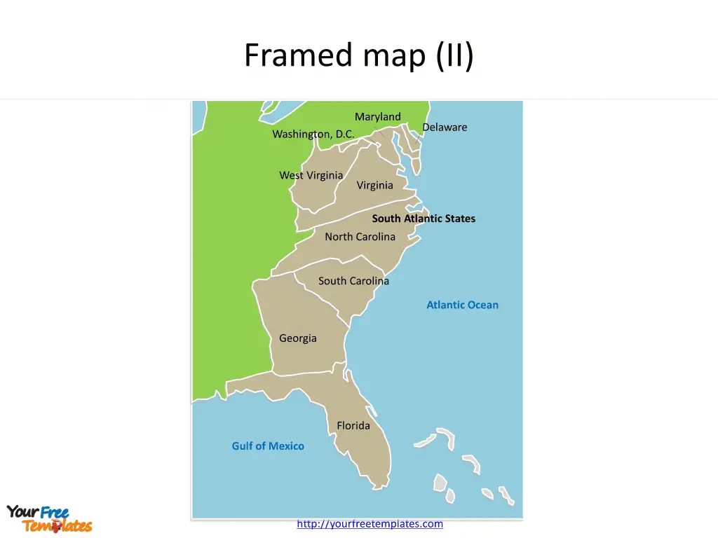
Slide 4, US South Atlantic State map PowerPoint templates with surrounding neighboring states (2)
The US maps for South Atlantic States presents different states as individual shapes. Meanwhile the surrounding neighboring states are together with outline.

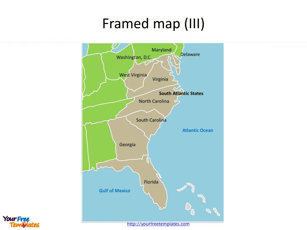
Slide 5, US map of South Atlantic State PowerPoint templates with surrounding neighboring states (3)
Both the US maps for South Atlantic States and the surrounding neighboring states are individual shapes by state.

Size:272K
Type: PPTX
Aspect Ratio: Standard 4:3
Click the blue button to download it.
Download the 4:3 Template
Aspect Ratio: Widescreen 16:9
Click the green button to download it.
Download the 16:9 Template


