The Fort Worth map template in PowerPoint format includes 3 slides. Firstly, we have the Fort Worth map template for the city outline. Secondly, we present the 11 Council Districts of this city. Thirdly the Tarrant County map has 16 Township Board Districts. As the same diagram PowerPoint template series, you can also find our Carbon footprint, Carbon neutral, Data Mining, Machine Learning, cloud computing, Artificial Intelligence and BlockChain PowerPoint templates.
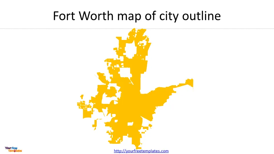
Slide 1, Fort Worth map with city outline.
Fort Worth, located in Tarrant County, Texas, is the 5th-most populous city in the state and the 13th-most populous city in the United States. With a population of 956,709 according to a 2022 census estimate, Fort Worth is a vibrant and thriving city. It is part of the Dallas–Fort Worth–Arlington metropolitan area, which is the most populous metropolitan area in Texas.

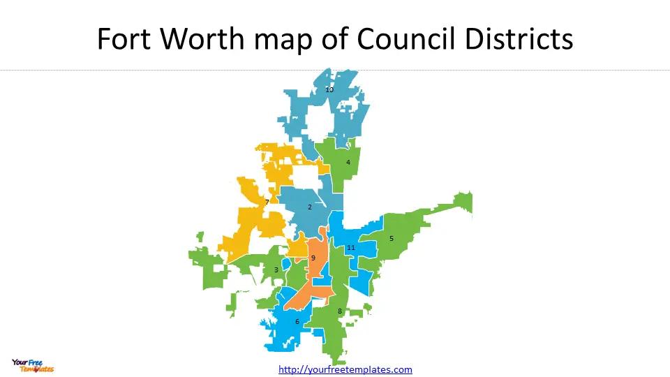
Slide 2, Fort Worth map with Council Districts
Fort Worth is divided into 11 council districts, each represented by a council member. The 11th district was formed during Fort Worth’s 2022 redistricting effort with the aim of creating a second Hispanic-majority district. The Fort Worth Council Districts are responsible for various duties within the city. These include managing and overseeing local government administration in their respective districts, adopting an annual operating budget, levying taxes, approving city policies and ordinances, and representing the interests of their constituents.

The council members also focus on themes of good governance, community investment, and creating a safe city for every resident. They work towards economic development, infrastructure improvement, public safety, and addressing the needs and concerns of their district’s residents. Additionally, council members collaborate with the mayor and other council members to make decisions that benefit the city as a whole.
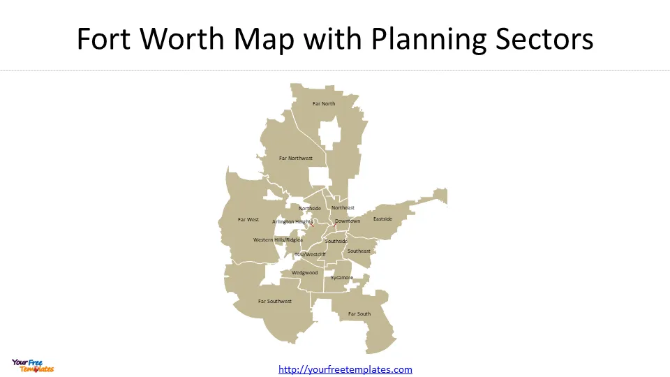
Slide 3, Fort Worth map with Planning Sectors
Fort Worth, like many cities, has a comprehensive city planning system in place to guide development and ensure orderly growth. The city is divided into 16 planning sectors, each with its own unique characteristics and zoning regulations. These sectors help the city manage land use, transportation, infrastructure, and other aspects of urban planning. Some of the planning sectors in Fort Worth include:

- Downtown: This sector is the heart of the city and is characterized by a mix of commercial, residential, and cultural spaces. It is a vibrant area with high-rise buildings, entertainment venues, restaurants, and shops.
- Southside: Located just south of downtown, this sector is known for its historic architecture, diverse neighborhoods, and trendy restaurants and bars. It has experienced significant revitalization in recent years.
For other interesting maps, pls visit our ofomaps.com
Size:225K
Type: PPTX
Aspect Ratio: Standard 4:3
Click the blue button to download the maps.
Download the 4:3 Template
Aspect Ratio: Widescreen 16:9
Click the green button to download the maps.
Download the 16:9 Template


