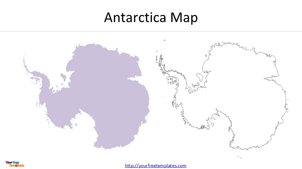
Antarctica: The Seventh Region

Antarctica stands alone among world continents with no permanent human settlements. This vast land serves only scientific research and environmental preservation. Scientists from 29 countries work at 70 permanent research stations scattered across this pristine continent.
Research Stations and Territories
The U.S. Antarctic Program runs three year-round research stations, and McMurdo Station leads as the largest facility on the continent. McMurdo Station, now 68 years old, serves as the main logistics hub for U.S. Antarctic operations. The Australian Antarctic Division runs four stations – Mawson, Davis, and Casey on the continent, plus Macquarie Island in the sub-Antarctic.
| Station Type | Population |
|---|---|
| Summer Season | 5,000 researchers |
| Winter Season | 1,000 personnel |
International Treaties
Twelve nations signed the Antarctic Treaty in 1959, which altered the map by turning this continent into a scientific preserve. The treaty states that Antarctica must be used only for peaceful purposes. The agreement has grown into a big deal as it means that 58 nations are now part of the treaty. The Madrid Protocol came into effect in 1998 and made Antarctica a natural reserve dedicated to peace and science.
Environmental Significance
Antarctica plays a crucial role in Earth’s climate and ocean systems. The continent houses a four-kilometer-thick ice sheet that contains an exceptional record of our planet’s climate history for one million years. The Southern Ocean has absorbed 75% of excess heat created by humans and 40% of carbon dioxide since the 1970s.
Environmental challenges continue to mount in this region. The Antarctic Peninsula’s temperature has risen by over 5°F (3°C) between 1970 and 2020. Several protocols provide strict environmental protection:
- The Convention for the Conservation of Antarctic Seals (1972)
- The Convention on the Conservation of Antarctic Marine Living Resources (1980)
- The Protocol on Environmental Protection to the Antarctic Treaty (1991)
The British Antarctic Survey manages five research stations and two Royal Research Ships that help protect Antarctica’s pristine environment. Their role involves following the highest environmental standards while maintaining a leading position in the Antarctic Treaty system.
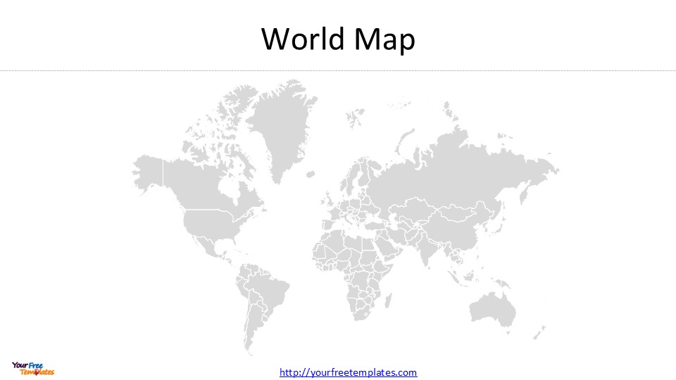
Understanding World Regions on Maps

Maps are vital tools that help us understand our world’s complex regional divisions. Note that every map has elements that help readers interpret geographical information.
Reading World Map Labels
Map labels follow specific conventions that ensure clarity and readability. Country names appear directly on maps in the browser’s default language setting. To name just one example, state and province borders show up as thin, light-gray dotted lines that make political divisions easy to spot. Maps use various symbols and colors instead of words to stay clear, and a map key explains what each element means.
A complete map has these significant components:
- Title describing the map’s purpose
- Scale indicator showing distance relationships
- Grid system for precise location reference
- Compass rose displaying cardinal directions
Regional Boundary Markers
International borders show different styles based on their political status. The World Region Boundaries layer, updated in 2022, provides boundaries for 25 commonly accepted regions. Modern digital versions offer multiple viewing options for disputed territories and contested regions, unlike traditional paper maps.
| Boundary Type | Representation |
|---|---|
| Country Borders | Bold lines with political status indicators |
| State/Province | Light gray dotted lines |
| Regional Divisions | Color-coded with distinct markers |
Using Digital Map Tools
State-of-the-art mapping technology has revolutionized our interaction with geographical information. The National Geographic MapMaker helps students create custom maps without technical expertise. This educational tool supports learning with:
- High-quality, curated map content
- Powerful mapping tools
- Complete teacher support
Students analyze maps from neighborhood to global levels. They learn map grids to describe locations and measure distances between cities. These digital tools develop spatial thinking skills through interactive features that let users:
- Compare historical and modern maps
- Analyze geographical patterns
- Create custom visualizations
Digital mapping platforms render millions of boundaries with precise edge-matching throughout zoom levels. Users can connect data to specific polygons, which allows dynamic visualizations and thorough geospatial analysis. The technology supports multiple worldviews for all boundaries and gives full control over styling disputed borders.
Comparison Table
| Region | Total Area | Population | Number of Countries | Key Characteristics | Major Organizations |
|---|---|---|---|---|---|
| The Americas | Not specified | 1.04 billion | 35 sovereign states | North America, Central America, Caribbean, and South America form distinct regions | Organization of American States (OAS) |
| Europe | 10.18 million km² | 744 million | 44 sovereign nations | Atlantic to Urals region with 27 EU member states | European Union (EU), Schengen Area |
| Asia | 44 million km² | 4.7 billion | 48 countries | Earth’s largest region covering 30% of land area and birthplace of major world religions | ASEAN |
| Africa | 30.3 million km² | 1.4 billion | 54 countries | Second largest continent with eight distinct physical regions | African Union, 8 Regional Economic Communities |
| Oceania | Not specified | 6.6 million | 15 Pacific island countries | Three main regions: Melanesia, Micronesia, and Polynesia | Pacific Islands Forum (PIF), Pacific Community (SPC) |
| Antarctica | Not specified | 5,000 (summer) 1,000 (winter) | No sovereign nations | Research hub with 70 stations from 29 countries | Antarctic Treaty System |
Conclusion
Our experience of the seven world regions shows a mixture of human civilization across 195 countries. These regions display amazing diversity. You’ll find everything from Asia’s dense population centers to Antarctica’s pristine research stations.
The Americas have become economic powerhouses. Europe still serves as a cultural heritage center. Asia leads with its massive population and economic growth. Africa shows promising development potential. Oceania’s scattered island nations face unique challenges but maintain strong regional ties.
Knowledge of these regions helps you learn about our world’s complexity. Today’s mapping tools make this information more available than ever. Students and professionals can now explore geographical relationships with unprecedented clarity.
This complete overview of world regions provides a reference point to anyone interested in global geography, international relations, or world travel. The ever-changing world ensures that regional boundaries and relationships keep evolving. We need to update our geographical knowledge regularly.
Looking for Premium maps, please visit our affiliate site: https://editablemaps.com/ or https://ofomaps.com/
Size:3010K
Type: PPTX
7 World Map Regions Template
Click the link to download it.
Aspect Ratio: Widescreen 16:9
Click the green button to download it.
Download the 16:9 Template
FAQs
Q1. How many countries are there in the world as of 2025? There are 195 countries in the world. This includes 193 member states of the United Nations and 2 non-member observer states: the Holy See (Vatican City) and the State of Palestine.
Q2. What are the seven major world regions? The seven major world regions are North America and South America (The Americas), Europe, Asia, Africa, Oceania, and Antarctica. Each region has its unique geographical, cultural, and political characteristics.
Q3. Which continent has the largest population? Asia is the world’s most populous continent, with approximately 4.7 billion people, accounting for about 60% of the global population. It’s also the largest region, covering about 30% of Earth’s total land area.
Q4. How many countries are in the European Union? As of 2025, the European Union comprises 27 member states. This number changed after the United Kingdom’s departure from the EU in January 2020, commonly known as Brexit.
Q5. What is unique about Antarctica compared to other world regions? Antarctica is the only continent without permanent human settlements. It’s dedicated solely to scientific research and environmental preservation, with about 70 research stations representing 29 countries. The continent is governed by the Antarctic Treaty, which ensures its use for peaceful purposes only.


