The 9 England Region Map with outlines including East Midlands, East of England, London, North East, North West, South East, South West, West Midlands, Yorkshire and the Humber. Our map of England regions chart templates includes 10 slides below. You can also check our Map of England for the total 48 counties, together with Wales, Scotland and Northern Ireland in United Kingdom.
Our Top ten most populated city charts include ten slides below.
- The most populated city in the world 1-10
- The most populated city in the world 11-20
- The most populated city in the world 21-30
- Top ten most populated us city
- Top 10 most populated city in Canada
- Top 10 most populated UK city
Slide 1, England Regions with 55 million people
This chart is for England with 9 regions together labeled with names of regions.

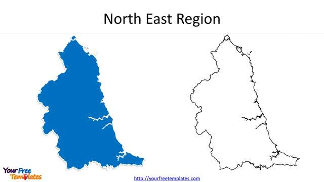
Slide 2, North East Region with 2.6 million populations
There are four counties of Northumberland, County Durham, Tyne and Wear, and the Tees Valley in this hilly region.
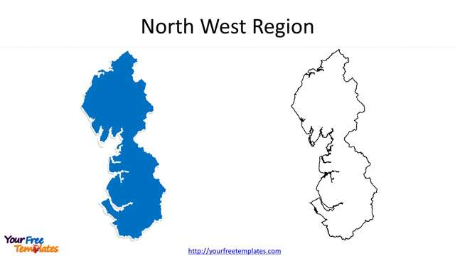
Slide 3, North West Region with 7.3 million populations
Three non-metropolitan counties Cumbria, Lancashire, and Cheshire, two metropolitan counties of Greater Manchester and Merseyside constitute North West Region.
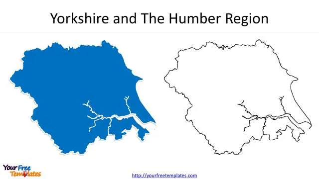
Slide 4, Yorkshire and The Humber Region with 5.5 million populations
It is five counties in the region including East Riding of Yorkshire, North Yorkshire, South Yorkshire, and West Yorkshire, and Lincolnshire.
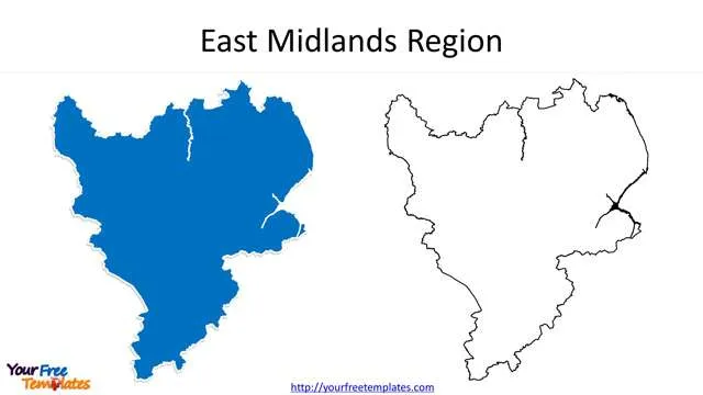
Slide 5, East Midlands Region with 4.8 million populations
Derbyshire, Leicestershire, Lincolnshire (except North and North East Lincolnshire), Northamptonshire, Nottinghamshire, and Rutland are the six counties covered by this region.
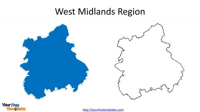
Slide 6, West Midlands Region with 5.9 million populations
The six counties including Herefordshire, Shropshire, Staffordshire, Warwickshire, West Midlands, and Worcestershire compose the region.
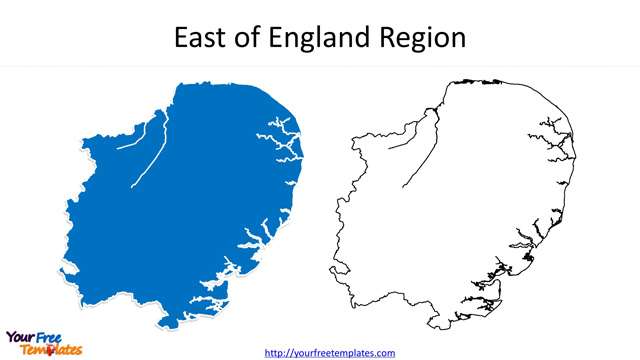
Slide 7, East of England Region with 6.2 million populations
It is known that there are six counties in the region, which are Essex, Cambridgeshire, Norfolk, Suffolk, Bedfordshire, and Hertfordshire.
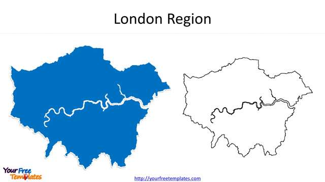
Slide 8, London Region with 9.0 million populations
London Region is also Greater London which is composing of 32 London Boroughs and the City of London.
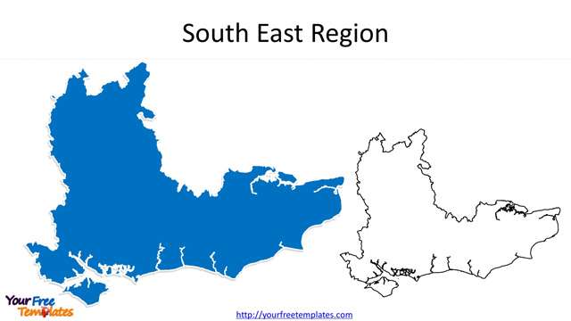
Slide 9, South East Region with 9.2 million populations
It is the most populated region covering 7 counties including East Sussex, Hampshire, Surrey, Kent, Oxfordshire, Berkshire and Buckinghamshire.
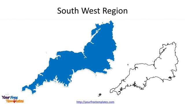
Slide 10, South West Region with 5.6 million populations
Devon, Cornwall, Dorset, Somerset, Wiltshire and Gloucestershire are the six counties for this region which is the largest in area.
For other interesting maps, pls visit our ofomaps.com
Size:1800K
Type: PPTX
[sociallocker]Aspect Ratio: Standard 4:3
Click the blue button to download it.
Download the 4:3 Template
Aspect Ratio: Widescreen 16:9
Click the green button to download it.
Download the 16:9 Template[/sociallocker]


