Slide 7, Urban Areas on California Counties Map
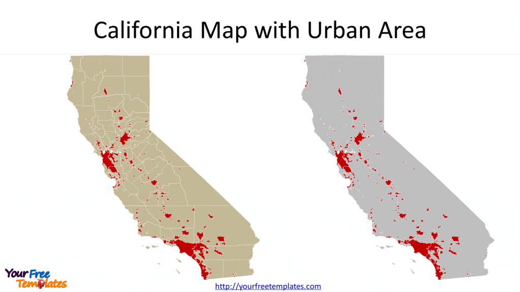
There are about 170 Urban Areas for the California state, which is marked in red on blank outline map or counties map. It seems that large portion of urban areas are located in San Francisco Bay Area, Sacramento, Los Angeles county, Orange county and San Diego. The source is the same with ports.
Slide 8, California Counties Map with Caltrans Districts
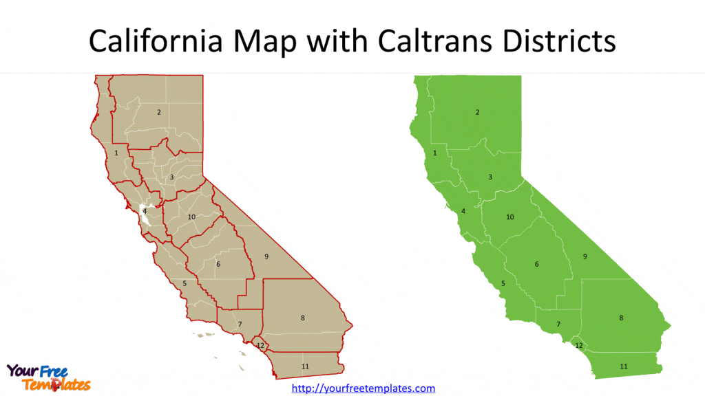
Caltrans stands for California Department of Transportation, with 12 districts for the whole state. You can customize your map with the district map from the California State Geoportal, or compare the districts with counties map of California. They are not exactly the same, such as for the 6 and 9 districts.
Slide 9, California Counties Map by Census Regions
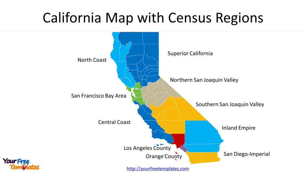
Based on the definition of California Census Office, there are ten census regions for the state, which are Superior California, North Coast, San Francisco Bay Area, Northern San Joaquin Valley, Central Coast, Southern San Joaquin Valley, Inland Empire, Los Angeles County, Orange County, and San Diego-Imperial. Each census region has been grouped by counties and filled with different colors, making them easily to be processed.
Slide 10, California Map with four Regions
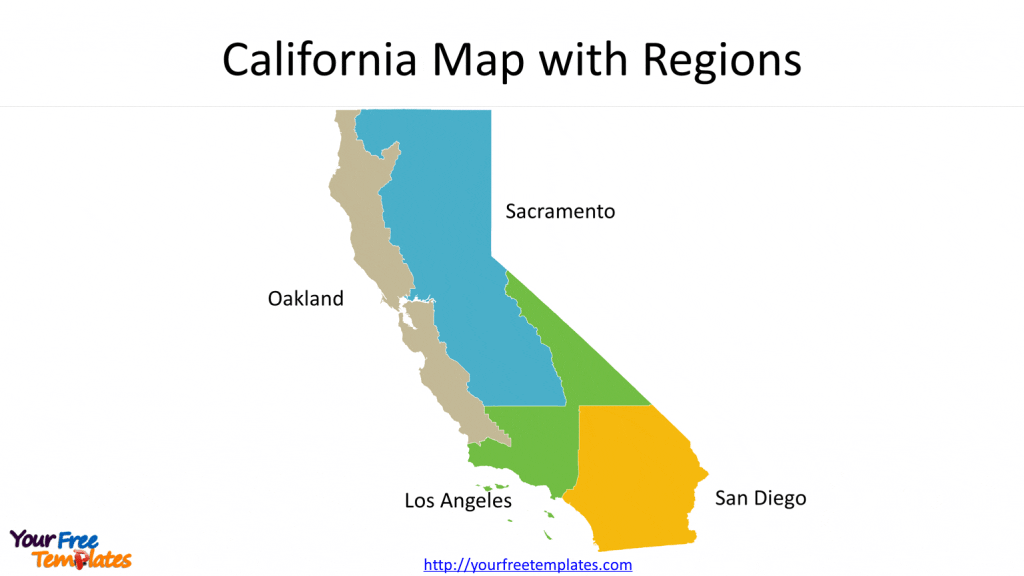
It is simple region map for this state with Oakland, Sacramento, Los Angeles and San Diego. Those cities are the most populated ones, that you can just split the state into four regions for your business.
You may like to check other premium map templates,
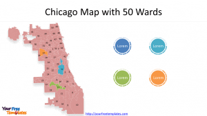
For Chicago map covering 7 slides showing City Boundary, 77 Community Plan Areas, 50 wards, Central Business District, 26 Industrial Corridors, 6 Enterprise Zones, and 22 Police Districts
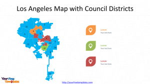
For Los Angeles map covering 5 slides showing city Boundary,7 Area Planning Commission, 35 Community Plan Area, 15 Council Districts and 99 Neighborhoods.
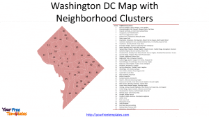
For Washington DC map covering 8 slides showing Washington DC Boundary, Quadrants, 8 Wards, 7 Police Districts, 21 Police Sectors, and 57 Police Service Areas (PSAs).
Size:2685K
Type: PPTX
[sociallocker]Aspect Ratio: Standard 4:3
Click the blue button to download it.
Download the 4:3 Template
Aspect Ratio: Widescreen 16:9
Click the green button to download it.
Download the 16:9 Template[/sociallocker]


