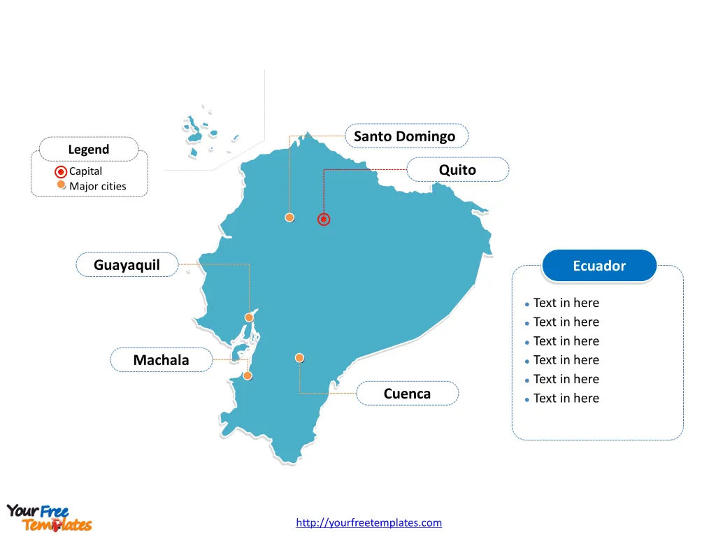
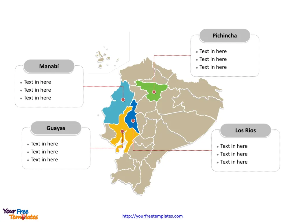
The Ecuador Map Template includes two slides. Ecuador map with 24 provinces, labeling with major provinces, Guayas, Pichincha, Manabí, and Los Ríos. Ecuador map labeling with national capital and major cities, Guayaquil, Quito, Cuenca, Santo Domingo, and Machala.
Ecuador, located on the west coast of South America, is bordered by Colombia to the north and Peru to the east and south. With its diverse geography, including the Amazon rainforest, the Andean mountain range, and the Galápagos Islands, Ecuador boasts a rich natural heritage. The country’s population is estimated to be around 17.5 million people, comprising a mix of indigenous, mestizo, and Afro-Ecuadorian ethnic groups.
Ecuador’s economy is largely based on exports of oil, agricultural products, and tourism. The nation faces challenges related to income inequality and economic diversification. Its neighboring countries significantly influence its trade and regional dynamics, impacting its economic and geopolitical landscape.
Slide 1, Ecuador map labeled with capital and major cities.
Its capital and largest city is Quito and Guayaquil respectively, other major cities including Cuenca, Santo Domingo, and Machala.
Capital and Major Cities on Ecuador map
Quito Quito, the capital of Ecuador, is a vibrant city nestled in the Andes Mountains. It is the second most populous city in the country, with a population of 1,763,275 according to the latest census. The city’s conurbation, which includes nearby rural parishes and neighboring cities like Sangolquí and Machachi, boasts a population of over 2.5 million, making it a significant urban center.

Guayaquil As the largest city in Ecuador, Guayaquil serves as the country’s main port and commercial hub. With a population of 2,650,288, its metropolitan area, encompassing nearby cities such as Durán, Daule, Milagro, and Samborondón, exceeds 3 million inhabitants, making it the largest and most populous metropolitan area in Ecuador.
Cuenca Cuenca, the third most populous city, is situated in the Azuay province and is the most important urban center in southern Ecuador. With a population of 361,524, it stands out for its cultural heritage and historical significance.
Santo Domingo Santo Domingo, a rapidly growing city located in the Santo Domingo de los Tsáchilas province, has a population of 334,826. It is strategically positioned at a vital transportation nexus, driving its ongoing urban expansion, and is anticipated to surpass Cuenca in population in the coming decades, becoming the third most populous city in the country.
Machala Machala, situated in the El Oro province, is a key commercial and agricultural center with a population of 288,072. It plays a significant role in Ecuador’s economy, particularly in the cultivation of bananas and shrimp farming.
Slide 2, Ecuador map labeled with major administration districts.
Ecuador is a country with 24 provinces; they are Azuay, Bolivar, Cañar, Carchi, Chimborazo, Cotopaxi, El Oro, Esmeraldas, Galápagos, Guayas, Imbabura, Loja, Los Ríos, Manabí, Morona-Santiago, Napo, Orellana, Pastaza, Pichincha, Santa Elena, Santo Domingo de los Tsáchilas, Sucumbíos, Tungurahua, and Zamora-Chinchipe. Every individual political subdivision is an editable shape.
Major Provinces on Ecuador map
Guayas The Guayas province, with Guayaquil as its capital, is a pivotal economic region known for its commercial activities, port facilities, and industrial development. It serves as a major contributor to Ecuador’s economy.

Pichincha Pichincha, with Quito as its capital, encompasses the Andean highland region and is a hub for cultural, political, and economic activities. It is home to various indigenous communities and is a significant center for tourism and commerce.
Manabí Manabí, with Portoviejo as its capital, is a coastal province known for its agricultural productivity and beautiful beaches. It is an important region for the country’s agriculture and tourism sectors.
Los Ríos Los Ríos, with Babahoyo as its capital, is a province with a strong agricultural focus and serves as a key center for Ecuador’s rice and banana production.
In summary, Ecuador’s capital, major cities, and provinces reflect the country’s diverse cultural, economic, and geographic characteristics. From the historical and political significance of Quito to the commercial prominence of Guayaquil, each location plays a distinctive role in shaping Ecuador’s identity and regional dynamics.
Looking for Premium maps, please visit our affiliate site: https://editablemaps.com/ or https://ofomaps.com/
Size: 166K
Type: PPTX
Aspect Ratio: Standard 4:3
Click the blue button to download it.
Download the 4:3 Template
Aspect Ratio: Widescreen 16:9
Click the green button to download it.
Download the 16:9 Template


