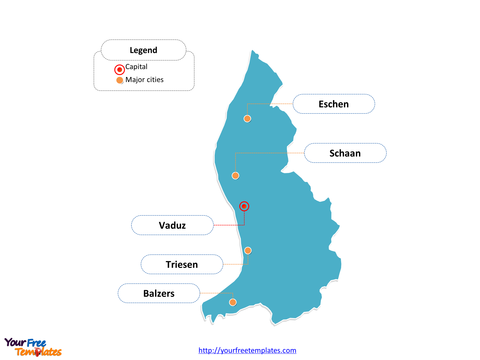
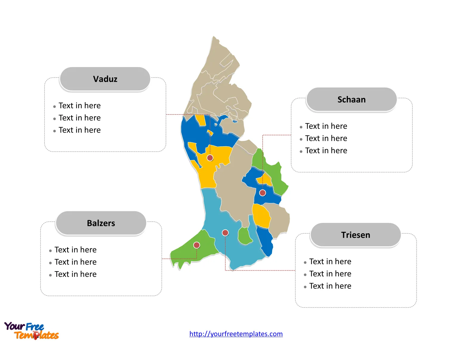
Liechtenstein Country political map with eleven communes, labeling major communes, Schaan, Vaduz, Triesen, and Balzers. Liechtenstein Outline map labeled with capital and major cities, Schaan, Vaduz, Triesen, Balzers, and Eschen.
The Map of Liechtenstein Template includes two slides.
Slide 1, Country outline map labeled with capital and major cities.
Liechtenstein is a doubly landlocked German-speaking microstate in Central Europe. Vaduz and Schaan is the capital and largest city of Liechtenstein respectively, other major cities including Triesen, Balzers, and Eschen.

Slide 2, Country political map labeled with major communes.
Liechtenstein is a country divided into eleven communes; they are Balzers, Eschen, Gamprin, Mauren, Planken, Ruggell, Schaan, Schellenberg, Triesen, Triesenberg, and Vaduz. Every individual political subdivision is an editable shape.

Size:112K
Type: PPTX
Aspect Ratio: Standard 4:3
Click the blue button to download it.
Download the 4:3 Template
Aspect Ratio: Widescreen 16:9
Click the green button to download it.
Download the 16:9 Template


