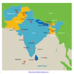
South Asia Map with 8 Countries
The South Asia Map Template in PowerPoint format includes three slides, that is, the South Asia outline map and South Asia blank political map,...
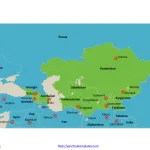
Free Central Asia and Caucasus Editable Map
Central Asia and Caucasus Country map with 5 Central Asia counties, they are Kazakhstan, Kyrgyzstan, Tajikistan, Turkmenistan, and Uzbekistan, the Caucasus Countries are Georgia,...
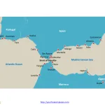
Free Strait of Gibraltar Editable Map
Strait of Gibraltar Country outline map with 4 countries, they are Spain, Morocco, Portugal and Algeria, labeling 17 important cities along the strategic strait...
Free DuPont Analysis Template
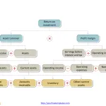
The DuPont Analysis Template includes three slides. DuPont Analysis, named after the company that developed it, is a method used for dissecting a company's...
Map of Ireland and Northern Ireland
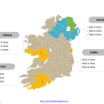
The Map of Ireland and Northern Ireland Template includes three slides. Map of Ireland and Northern Ireland with 34 counties, labeling major counties, Dublin,...
Free Korea Peninsula Editable Map
Korea Peninsula Country political map with North and South Korea countries, labeling major provinces, Pyongyang capital city, and South Pyongan Province, Seoul and Busan....
Free Black Sea PowerPoint Map
Black Sea Map with important cities, labeling Batumi, Burgas, Constanța, Istanbul, Kerch, Novorossiysk, Odessa, Ordu, Rostov-on-Don, Samsun, Sevastopol, Sochi, Trabzon, Varna, Yalta, and Zonguldak....
Free Persian Gulf & Strait of Hormuz Map
Persian Gulf map labeled with major cities and countries along the coast, Strait of Hormuz map also including in the slides.
The Map of Persian...
Free Northern Ireland Editable Map
Northern Ireland Political map with 11 districts, labeling with major districts, Belfast, Armagh City, Banbridge and Craigavon, Newry, Mourne and Down, Ards and North...
Free England Map with 9 Regions
Firstly England map with 83 counties, labeling with major counties, Kent, Essex, Hampshire, and Lancashire. Secondly Map of England with 9 regions, labeling with...


