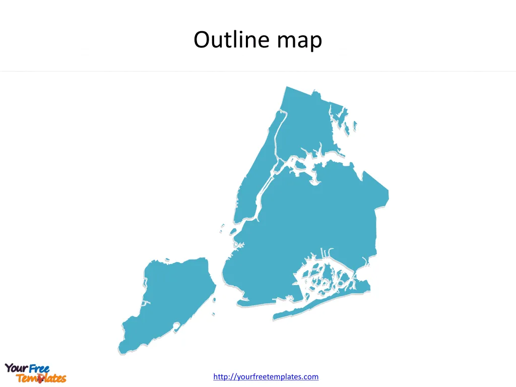
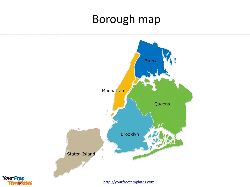
The New York City map Template in PowerPoint format includes two slides, that is, the NYC City outline map and NYC boroughs map. Firstly, our NYC City outline map template is the blank outline one. Secondly, there are five boroughs in our NYC neighborhood map template, which are Brooklyn, Queens, Manhattan, The Bronx, and Staten Island. New York boroughs map is our hand-draw map with more edges than other ordinary New York City map. It can give more vivid map presentation for your target USA cities.
New York City is situated on the northeastern coast of the United States, at the mouth of the Hudson River in the state of New York. It is one of the world’s most famous urban centers and is known for its significant impact on commerce, finance, media, art, fashion, research, technology, education, and entertainment. The city is made up of five boroughs, each a county of New York State, sprawling over a large area that includes waterways, islands, and mainland, with the Atlantic Ocean to its southeast.
Slide 1, New York City map with outline only.
Our New York City outline map is for the most populous city in the United States. As for the people, with an estimated 2024 population of 8,089,689 distributed over a land area of about 302.6 square miles. New York City is also the most densely populated major city in the United States. You can also check our New York State map.

We also recommend the most popular US state county maps and city maps as below.
- California county maps with eight slides including 58 Counties’ individual boundaries, Framed California Map with adjacent states, California counties Map grouped by Census Regions, California Map with 12 Caltrans Districts, California Map with Urban Areas, and 12 Ports etc.

Slide 2, NYC boroughs map labeled with five boroughs.
Map of new york city boroughs is the city political division of five boroughs in the northeastern United States. The five boroughs of New York City are Brooklyn, Queens, Manhattan, The Bronx, and Staten Island. What is more, every individual borough is an editable shape. In a word, you can change the numbers, colors, sizes, highlight some borough shapes, and add your charts.
The Five Boroughs on New York City map
Brooklyn: Brooklyn, to the southeast of Manhattan across the East River, is known for its cultural diversity, arts scene, and distinctive neighborhoods. It is the most populous borough and boasts attractions like Prospect Park, the Brooklyn Bridge, and Coney Island.
Queens: Queens, located on Long Island north and east of Brooklyn, is the largest in area and the second in population. It is celebrated for its ethnic diversity and is home to two of the city’s major airports, JFK and LaGuardia.
Manhattan: Manhattan, an island bordered by the Hudson, East, and Harlem rivers, is the economic and administrative heart of the city. It is renowned for iconic landmarks such as Central Park, Times Square, Wall Street, and the Empire State Building.

The Bronx: The Bronx, to the north of Manhattan, is the only borough primarily on the mainland. It is the birthplace of hip-hop culture and houses the New York Botanical Garden and the Bronx Zoo.
Staten Island: Staten Island, to the southwest of Manhattan and separated from New Jersey by the Arthur Kill and the Kill Van Kull, is the least populated borough. It is more suburban in character and is connected to Brooklyn by the Verrazzano-Narrows Bridge and to Manhattan by the free Staten Island Ferry.
Each borough of New York City has its unique character and plays an essential role in the rich tapestry that makes up the city’s identity.
Looking for Premium maps, please visit our affiliate site: https://editablemaps.com/ or https://ofomaps.com/
Size:164K
Type: PPTX
Aspect Ratio: Standard 4:3
Click the blue button to download it.
Download the 4:3 Template
Aspect Ratio: Widescreen 16:9
Click the green button to download it.
Download the 16:9 Template


